Snoqualmie Region Hikes
28 trails in Snoqualmie Region, ranked by popularity. Each page shows current weather, road, and trail conditions.
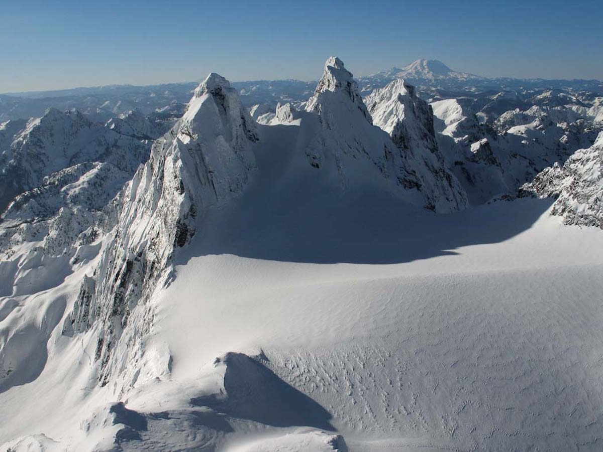
Alpine Lakes Ski TraverseA seven-day, 70-mile ski traverse across the Alpine Lakes Wilderness, linking Daniel, Hinman, Overcoat, and Chikamin.
Scenic ViewsCamping
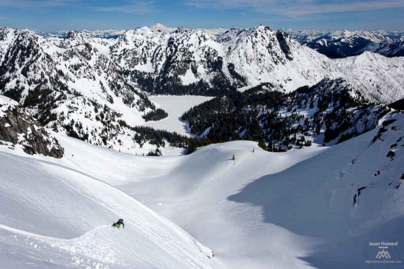
14 Lakes TraverseA four-day ski traverse linking fourteen alpine lakes from Hyas Lake to Stevens Pass through the Alpine Lakes Wilderness.
Scenic ViewsCamping
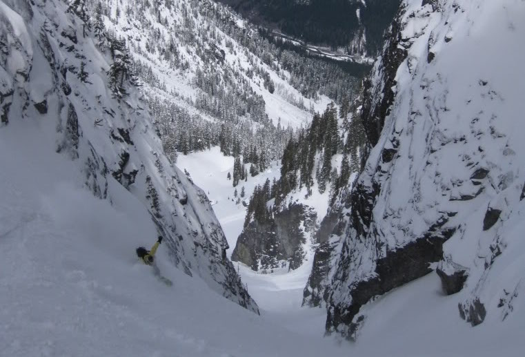
Slot Couloir on Snoqualmie MountainA narrow northeast-facing slot on Snoqualmie Mountain, 1,500 feet of enclosed couloir skiing minutes from the pass.
SummitScenic Views
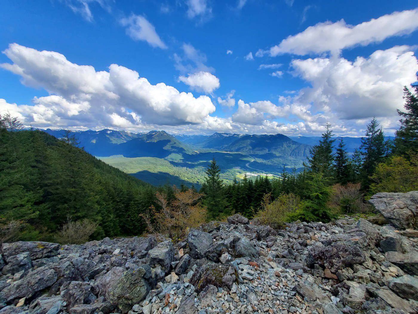
Mount SiWashington's most-climbed peak: 3,150 feet of relentless switchbacks to a Snoqualmie Valley panorama.
SummitOld Growth

Joe LakeA rugged bushwhack through the Gold Creek valley to a remote alpine lake with established camps and big mountain views.
LakeOld GrowthScenic Views
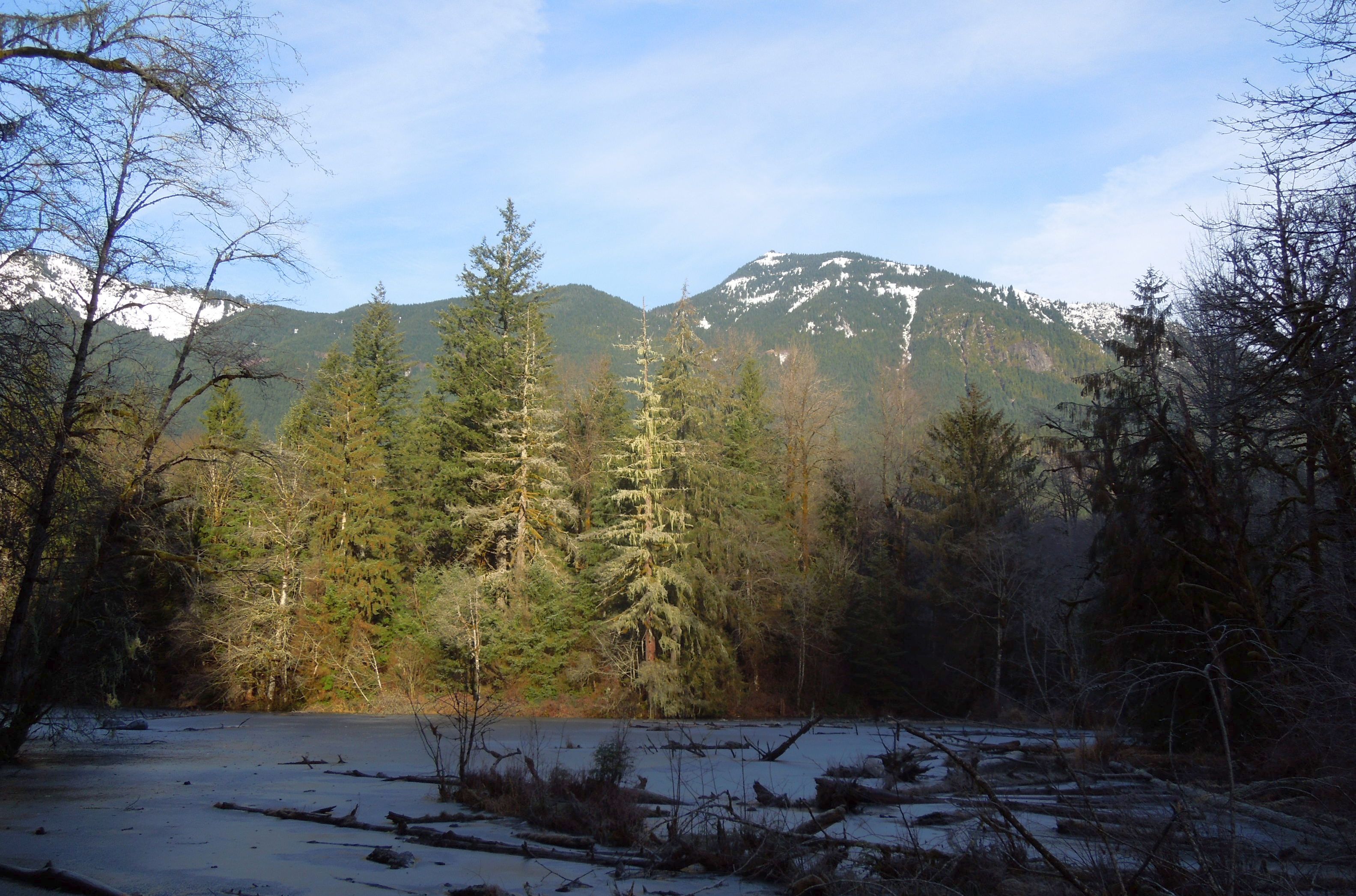
Oxbow Loop TrailA gentle loop around a glacially-formed oxbow lake in the Middle Fork Snoqualmie valley, with river views and old-growth canopy.
LakeRiverScenic Views
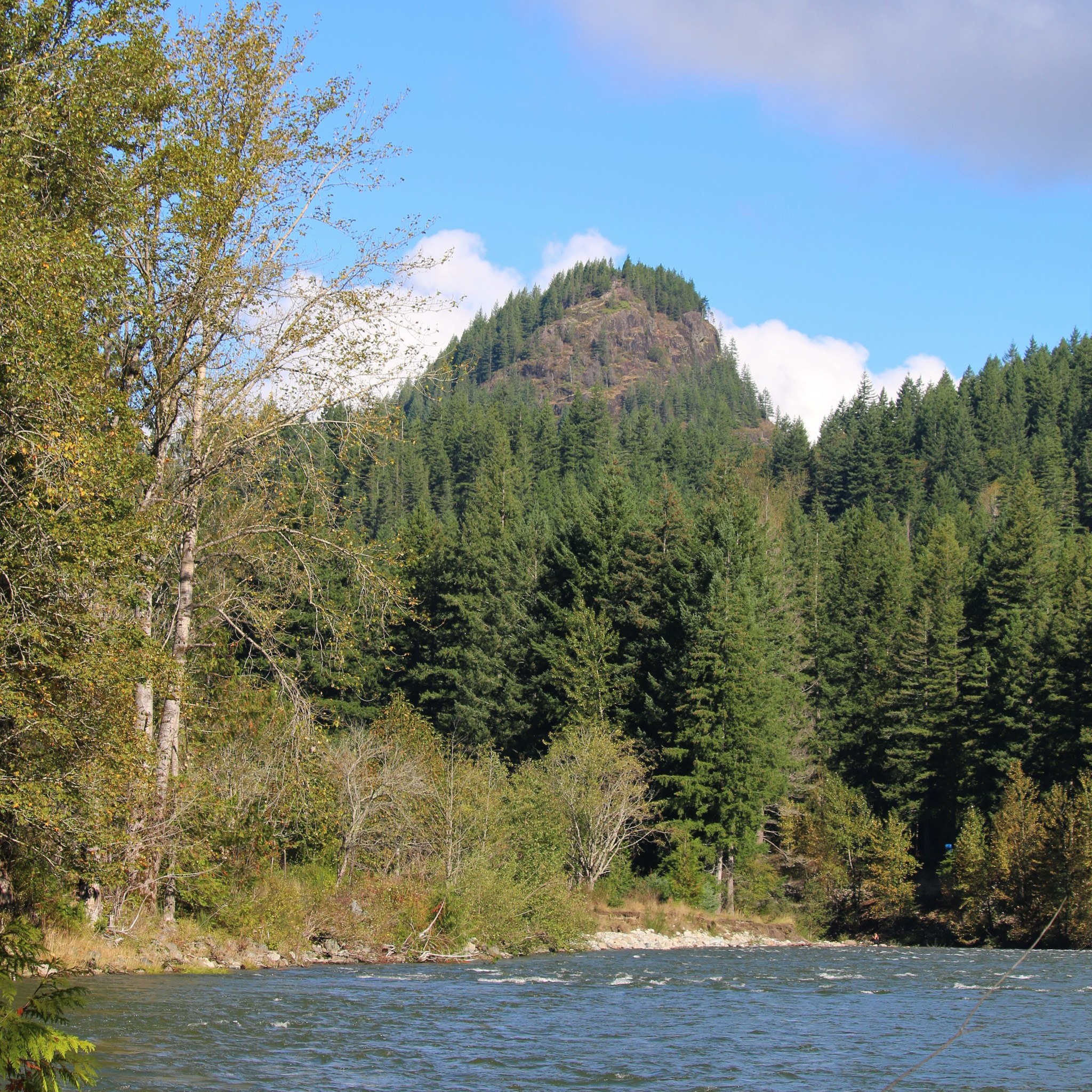
Tanner Landing ParkA flat riverside stroll with big mountain views, wildflower meadows, and easy connections to the Snoqualmie Valley Trail.
RiverScenic ViewsWildflowers

Teneriffe FallsA steep push through 22 switchbacks to a thundering cascade in the Mount Si foothills.
WaterfallForest Trail

Palouse to Cascades Trail - Cedar Falls to Change CreekA flat rail trail through Cascade foothills with trestle bridges, railroad history, and views of the Si peaks.
Dog FriendlyKid Friendly

Hyas LakeA flat walk through old-growth forest to a big valley lake beneath Cathedral Rock and Mount Daniel.
LakeOld GrowthRiver

Middle Fork Snoqualmie RiverA long, gentle river walk through old-growth forest and quiet backcountry along the Middle Fork Snoqualmie.
Old GrowthRiverWaterfall

Snoqualmie MountainA steep, relentless scramble to a 6,278-foot summit right off I-90, delivering big alpine views for a short but demanding effort.
SummitScenic ViewsStrenuous
w.jpg)
Annette LakeA steady climb through old-growth forest to a cold alpine lake ringed by jagged peaks.
LakeOld Growth

Amabilis Mountain SnowshoeSummit snowshoe near Snoqualmie Pass with panoramic views of Kachess Lake and the surrounding Cascade peaks.
SummitScenic ViewsWildlife

Snoqualmie FallsA short, steep descent to the base of a thundering 268-foot waterfall sacred to the Snoqualmie Tribe.
Forest TrailRiverWaterfall

Mount TeneriffeA grinding 3,800-foot climb from valley floor to a 360-degree summit overlooking the entire Snoqualmie corridor.
Forest TrailSummitWaterfall

Twin Falls
Old GrowthRiverWaterfall
Hex MountainA quiet ridge hike above the Cle Elum valley with a windswept summit and sweeping Teanaway views.
Summit
Talapus and Olallie LakesTwo forested lakes tucked beneath Pratt Mountain, linked by an old-growth corridor of cedar and hemlock.
Lake

Palouse to Cascades Trail — Homestead Valley to Mine Creek TrestleA gentle railroad grade east of North Bend with three high trestles spanning forested creek gorges.
Old Growth
Franklin Falls — WinterA winter approach to a frozen waterfall beneath an avalanche path at Snoqualmie Pass.
WaterfallRiver

Snoqualmie LakeA long valley walk up the Taylor River to a large, quiet backcountry lake in the Alpine Lakes Wilderness.
LakeRiver
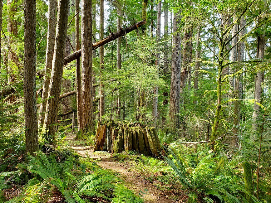
Preston TrailA quiet, steep backdoor into Tiger Mountain's trail network from Preston.
Forest Trail
Champion BeachA short walk to a green-pool stretch of the Middle Fork Snoqualmie with big boulders and easy river access.
River
West Fork Teanaway RiverA long, narrow canyon trail along the West Fork Teanaway, threading between cliffs, old growth, and high-bench wildflower meadows.
RiverOld Growth
Hyak Backcountry (Summit East)Quick-access midwinter ski touring at the closed Summit East area, with skinnable groomers and adjacent backcountry runs.
Forest TrailScenic Views
Chair Peak PatchA persistent north-facing snow patch on Chair Peak — the year-round ski destination of the Snoqualmie crowd, until it isn't.
Summit
The Slot via Phantom RidgeA narrow ski couloir off Phantom Ridge, accessed from Snow Lake — a known winter and spring objective in the Chair Peak basin.
Lake