Snoqualmie Mountain
Snoqualmie RegionBest Jun–Oct
A steep, relentless scramble to a 6,278-foot summit right off I-90, delivering big alpine views for a short but demanding effort.
About This Trail
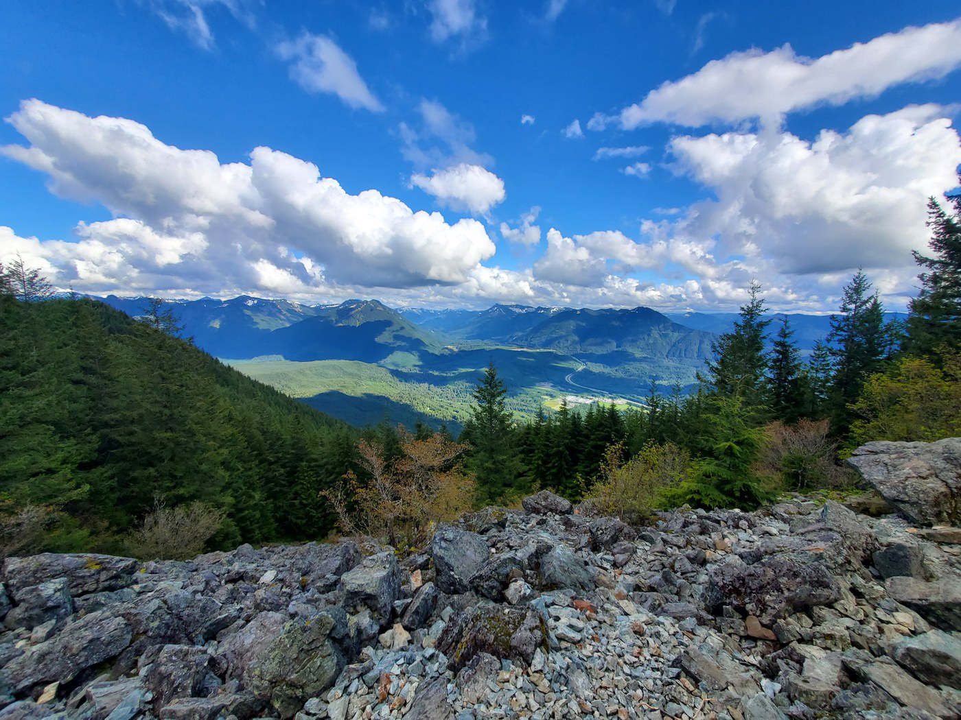
Snoqualmie Mountain packs 3,100 feet of elevation gain into under 2 miles of trail, making it one of the steepest hikes accessible from Snoqualmie Pass. The route starts at the Alpental parking area, drops briefly toward the Snow Lake trailhead, then turns onto an unmarked climber's path that pushes straight up through dense forest and slide alder before breaking into open alpine terrain.
Above treeline, the trail becomes a steep scramble over loose rock and heather slopes. The summit panorama takes in Mount Rainier, the surrounding Snoqualmie Pass peaks, and the Alpine Lakes Wilderness stretching north. On clear days the view extends from the Olympics to Mount Adams.
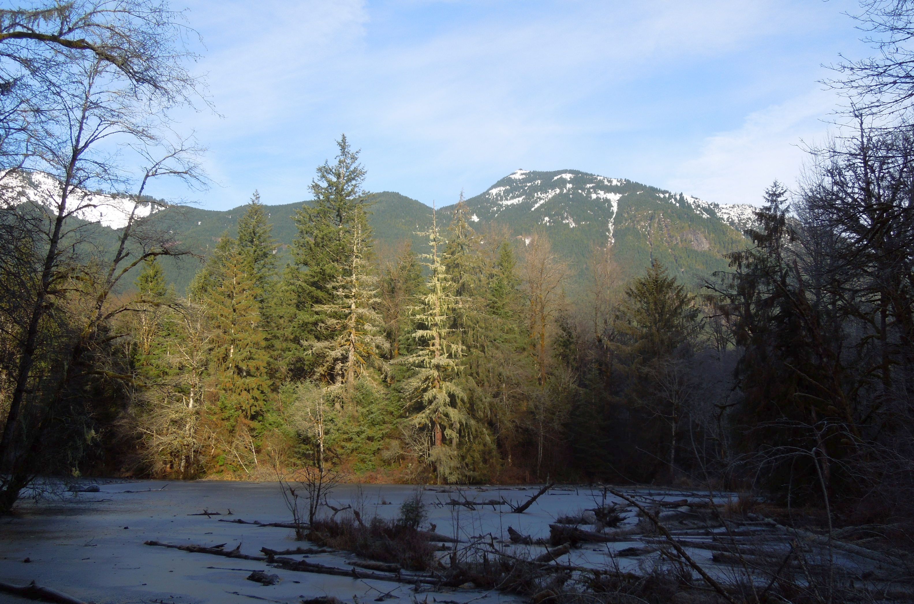
The unmarked start and sustained steepness keep crowds down compared to nearby Snow Lake or Granite Mountain. Winter and spring ascents require avalanche awareness, microspikes, and potentially snowshoes. The south-facing upper slopes shed snow earlier than neighboring peaks, opening for scrambling by mid-June in most years.
Astronomy
Trail Conditions
Scorecard
Safety & Considerations
Today's Hazard
- Strong sun — sunscreen, hat, and sunglasses recommended
Persistent Hazards
- Unmarked trailhead requires route-finding at the start
- Sustained steep grade on loose soil and rock
- Slide alder sections obscure the trail
- Avalanche terrain in winter and spring
- Exposure above treeline with no shelter from weather
Getting There
Park at the Alpental lot near the covered bridge. Northwest Forest Pass required. On winter weekends and holidays (Dec 26-Jan 2, MLK Day, Presidents Day weekend), parking permits apply 7 AM-3 PM: $15 at Summit lots, $25 at Alpental. Carpools of 3+ park free as space allows. No dog policy listed on WTA; dogs may be encountered but this is not a dog-friendly route given the steep scrambling.
From the Alpental parking area, walk toward the Snow Lake trailhead, then drop about 50 feet downhill to find an unmarked trail/old road heading left into slide alder. The path climbs steeply through forest before emerging above treeline for the final push to the summit. The trail is not signed or maintained. Bring a GPS track for the first visit.
An early start avoids the worst of the parking crunch at Alpental and puts hikers on the summit before afternoon clouds build. The short distance means fast parties finish in 3-5 hours round trip.
Similar Hikes