Palouse to Cascades Trail - Cedar Falls to Change Creek
Snoqualmie RegionBest Mar–Oct
A flat rail trail through Cascade foothills with trestle bridges, railroad history, and views of the Si peaks.
About This Trail
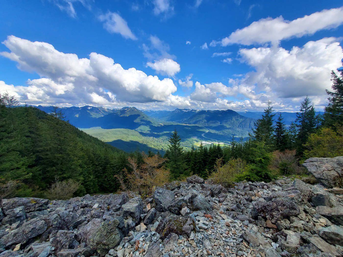
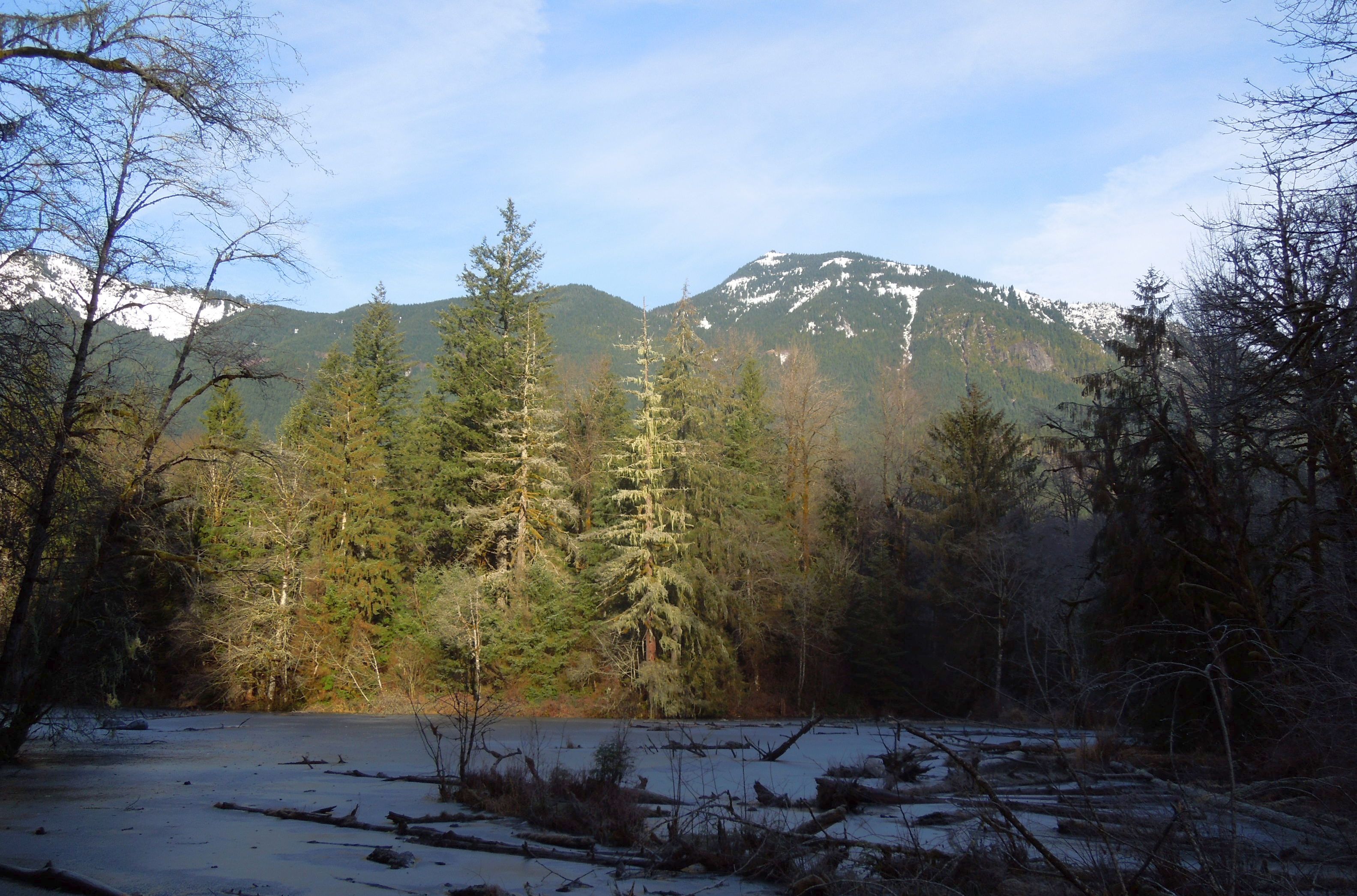
This section of the Palouse to Cascades Trail follows the old Milwaukee Railroad grade from Cedar Falls east toward Change Creek, crossing trestle bridges and passing through second-growth forest in the Cascade foothills near North Bend. The gentle railroad grade gains only 480 feet over 5.5 miles, making the route accessible to nearly anyone who can walk the distance. Historical railroad artifacts line the route: old telephone poles with glass insulators, rotting ties, and depot foundations at Ragnar mark the corridor's past life as a transcontinental rail line.
Two trestle bridges stand out along the route. The Botzke Creek trestle at mile 3 looks down on a waterfall and opens up views toward Little Si and Mount Si. The Change Creek trestle at mile 5.5 spans a deep ravine and draws rock climbers to the cliffs below. Between the trestles, the trail passes through quiet forest with occasional creek crossings. A spur trail to Cedar Butte branches off near the start for hikers wanting a steeper side trip with elevated views.
The trail sees steady use from joggers, cyclists, and dog walkers, especially on the western end near Rattlesnake Lake. Conditions deteriorate heading east, and storm damage has caused washouts in recent seasons. Check current conditions before planning to hike the full distance, as closures between Olallie Trail and the Snoqualmie Tunnel have been reported.
Forecast
Astronomy
Trail Conditions
“Trail is washed out bad from heavy rain.”
Last report: Jul 10, 2026
Scorecard
Safety & Considerations
Persistent Hazards
- Storm damage and washouts on eastern sections
- Shared trail with cyclists moving at speed
- Trestle bridges can be slippery when wet
- Trail closure possible between Olallie Trail and Snoqualmie Tunnel
Getting There
Park at the Rattlesnake Lake Recreation Area lot. Discover Pass required. The lot fills on sunny weekends by mid-morning due to shared use with Rattlesnake Ledge hikers. Overflow parking along the road fills quickly after that.
From I-90, take exit 32 toward 436th Avenue SE. Turn right on Cedar Falls Road SE and follow it to the Rattlesnake Lake parking area. The Palouse to Cascades Trail heads east from the far end of the lot, past the Cedar Falls area. Trail is well-signed at the start but less marked further east.
Start early on weekends to secure parking, as the lot is shared with Rattlesnake Ledge traffic. The flat grade allows a steady pace; plan 4-5 hours for the full out-and-back to Change Creek. Bring a headlamp if starting late in shorter daylight months.
Recent Reports
Walked the Palouse to Cascades after coming down from Cedar Butte Friday morning. I’d wanted to check on the status of the closure from the big landslide damage earlier this year.
Walked the Palouse to Cascades (PTC) trail from Rattlesnake lake area out to the current closure point Sunday morning. The closure point remains just about exactly one mile past the turn to Cedar Butte and is just east of the Ollalie trail so access is still available for that.
I had not done any of the trails south of I90 past Rattlesnake, so I wanted to tackle Mount Washington and Change Peak. I plotted a round trip route going up Mount Washington, traversing the ridge over to Change Peak and descending down Change Peak on its east connecting to Change Creek Trail.
Similar Hikes