Mount Si
Snoqualmie RegionBest Apr–Oct
Washington's most-climbed peak: 3,150 feet of relentless switchbacks to a Snoqualmie Valley panorama.
About This Trail
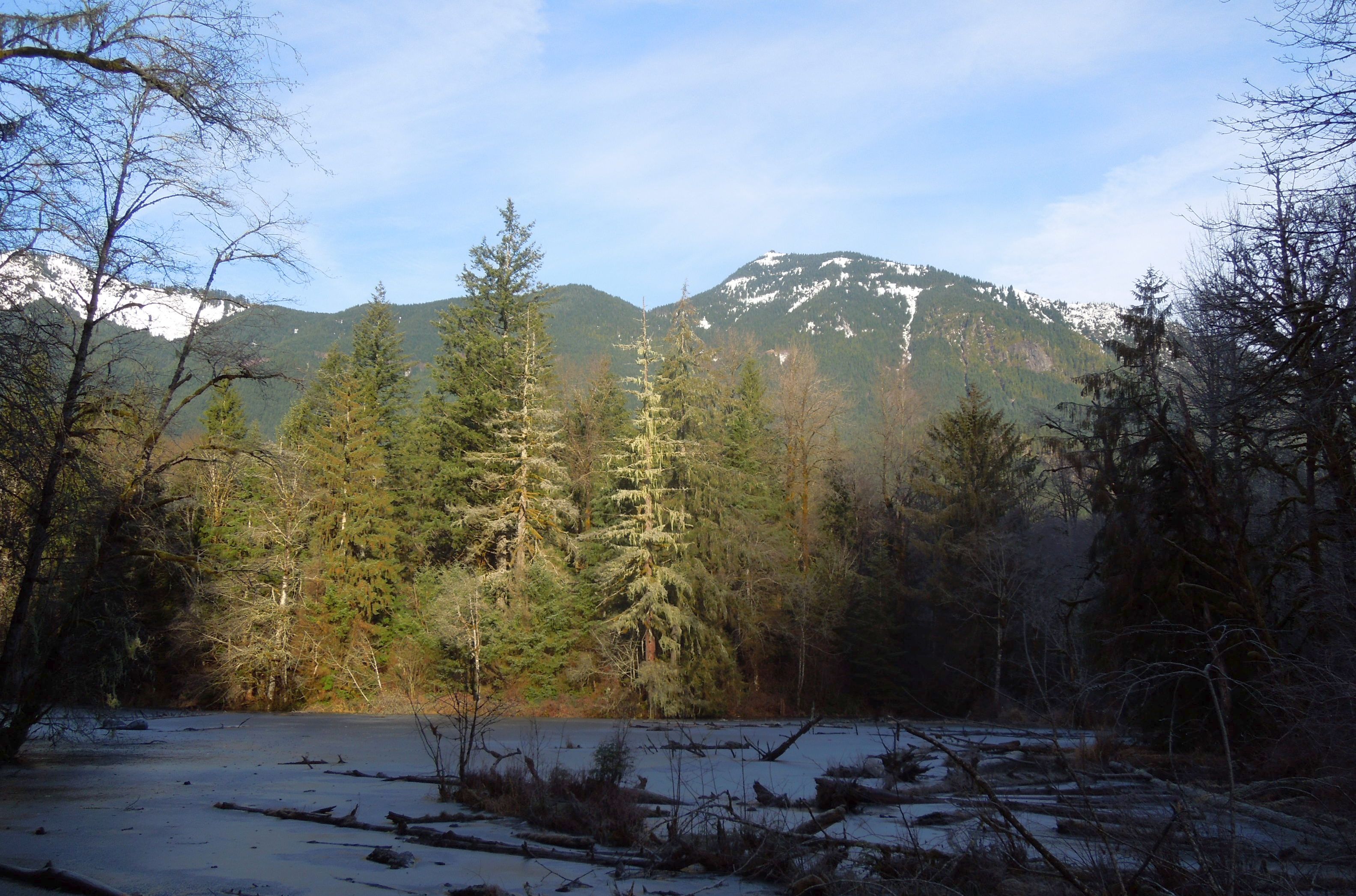
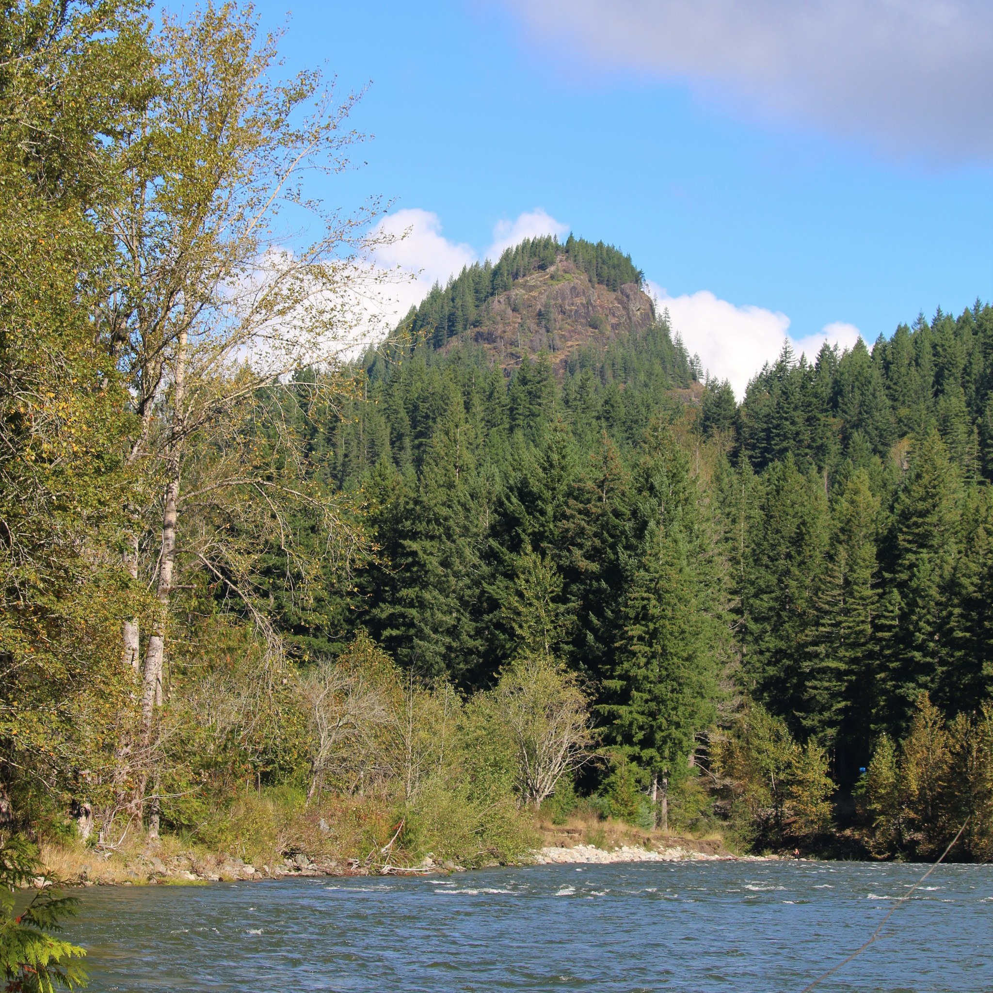
The trail begins in mixed second-growth forest along the old Mount Si road grade, climbing steadily through Douglas fir and western red cedar. At roughly 1.5 miles, the forest transitions into Snag Flat, a surviving stand of old-growth timber that escaped both fire and logging. The massive trunks here, some over 500 years old, mark the beginning of the trail's steeper pitches.
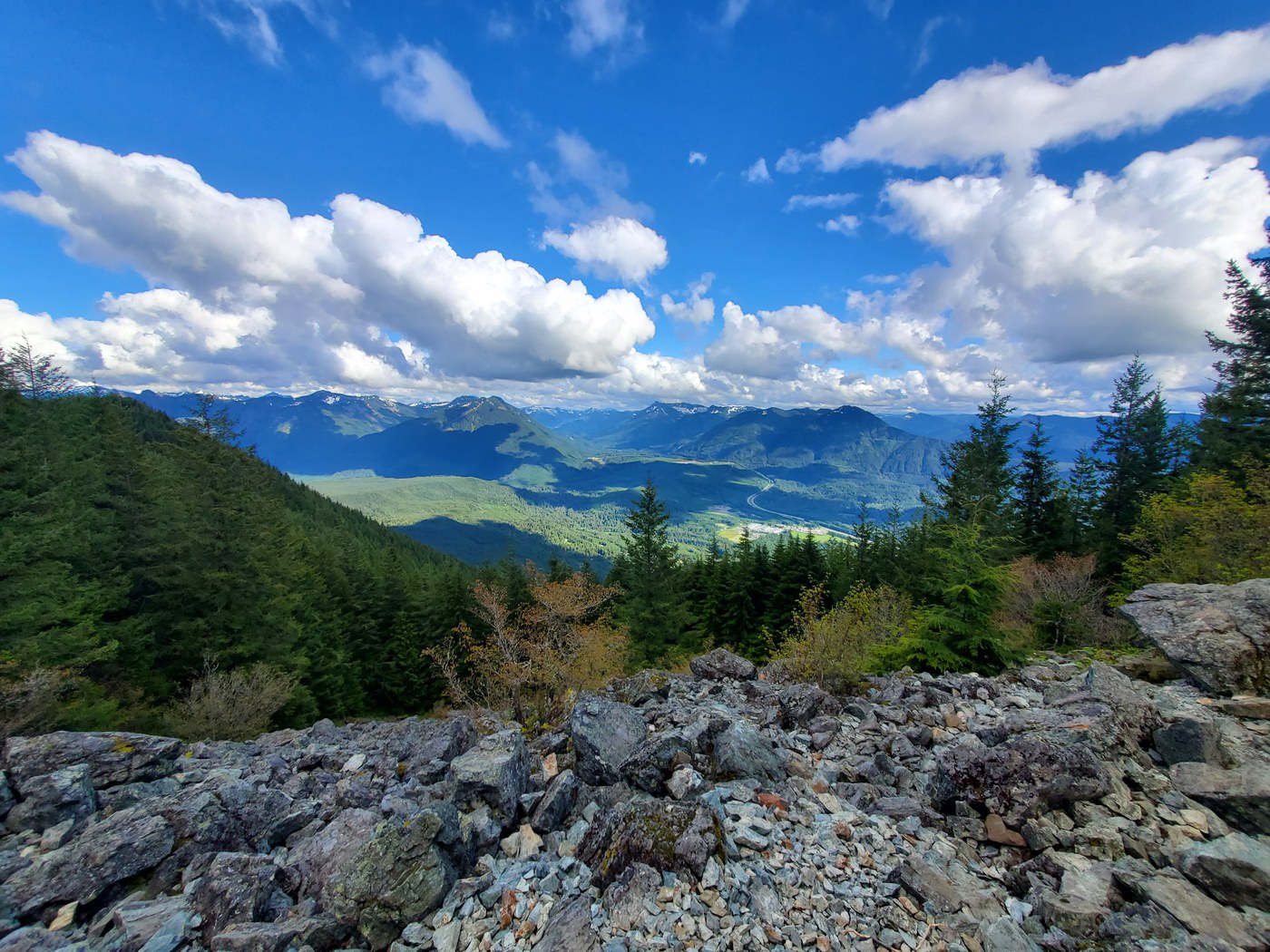
Above Snag Flat, the grade intensifies through a series of switchbacks gaining roughly 2,000 feet in the next two miles. The forest thins as elevation increases, and rocky openings provide the first views south toward Mount Rainier and across the Snoqualmie Valley. Mountain goats inhabit the upper rocky slopes and are regularly spotted near the summit clearing.
The main trail ends at a broad rocky viewpoint at 3,900 feet with panoramic views spanning Mount Rainier, the Olympics, and the Seattle skyline. Beyond the viewpoint, a rough scramble leads up the Haystack, a craggy false summit roughly 100 feet higher. The Haystack requires Class 3 moves on loose rock and is not recommended for inexperienced scramblers. The exposure is real, and the rock quality is poor.
Mount Si draws over 100,000 hikers annually, making it the most heavily trafficked trail in Washington state. Expect company at all hours, particularly on weekends from May through October. The parking lot fills by mid-morning on sunny weekends, and Discover Pass enforcement is regular.
Forecast
Astronomy
Trail Conditions
“Trail was in great condition and wasn’t too crowded for a Saturday evening!”
Last report: Jul 18, 2026
Scorecard
Permits / Passes
Safety & Considerations
Today's Hazard
- Strong sun — sunscreen, hat, and sunglasses recommended
Persistent Hazards
- Haystack scramble involves Class 3 moves on loose rock with real fall exposure
- Mountain goats may approach hikers near the summit; do not feed or corner them
- Trail is extremely crowded on weekends; parking lot fills by mid-morning
Getting There
Large paved lot at the Mount Si trailhead on SE Mt. Si Road. Fills by 8-9 AM on sunny weekends May through October. Overflow parking along the road shoulder. Discover Pass required and actively enforced.
Start before 8 AM on weekends to secure parking. Weekday mornings are significantly quieter. The trail is hikeable year-round, though snow and ice are common above 3,000 feet from November through March.
Recent Reports
A few days back I had completed West tiger #3 and #2, and this was a step up in difficulty. Trail was in great condition and wasn’t too crowded for a Saturday evening!
The parking lot was maybe three quarters full when we got there around 9:30 AM on a Saturday. No signs of bears as far as I could see and in any case they shouldn't be a danger during the day as the trail is so popular.
Did Mt. Si to get a sense of terrain on a nearby popular climb often used as a measurer of fitness (note: mine isn't great, and none of the runners or fast hikers were impressed with our speed).
Similar Hikes