West Fork Teanaway River
Snoqualmie RegionBest Jul–Oct
A long, narrow canyon trail along the West Fork Teanaway, threading between cliffs, old growth, and high-bench wildflower meadows.
About This Trail
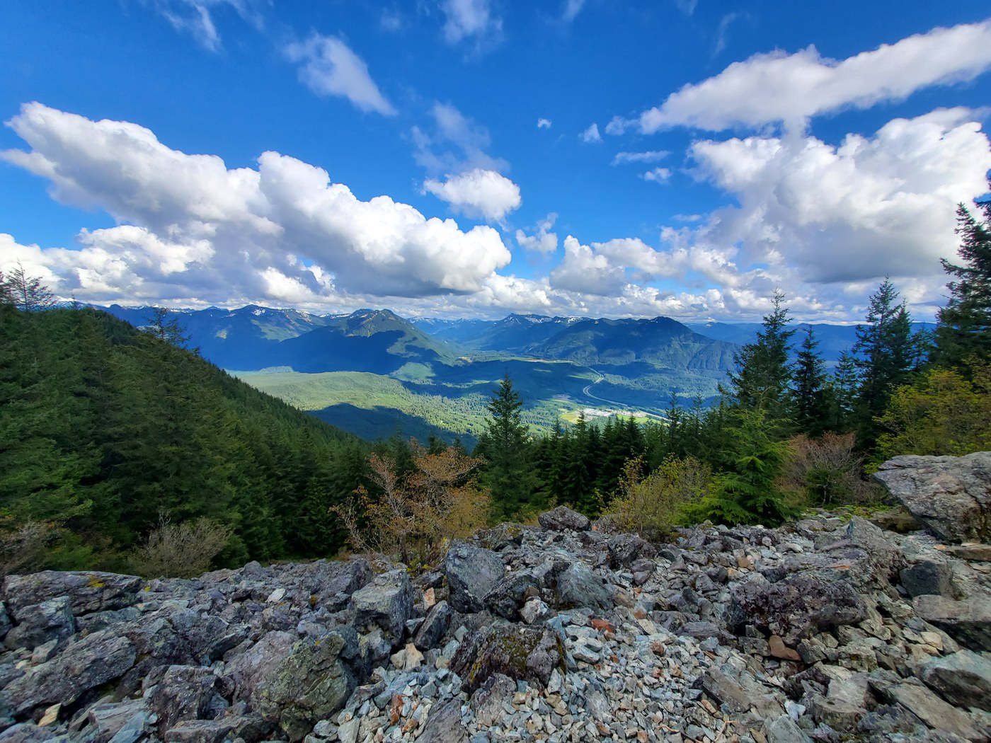
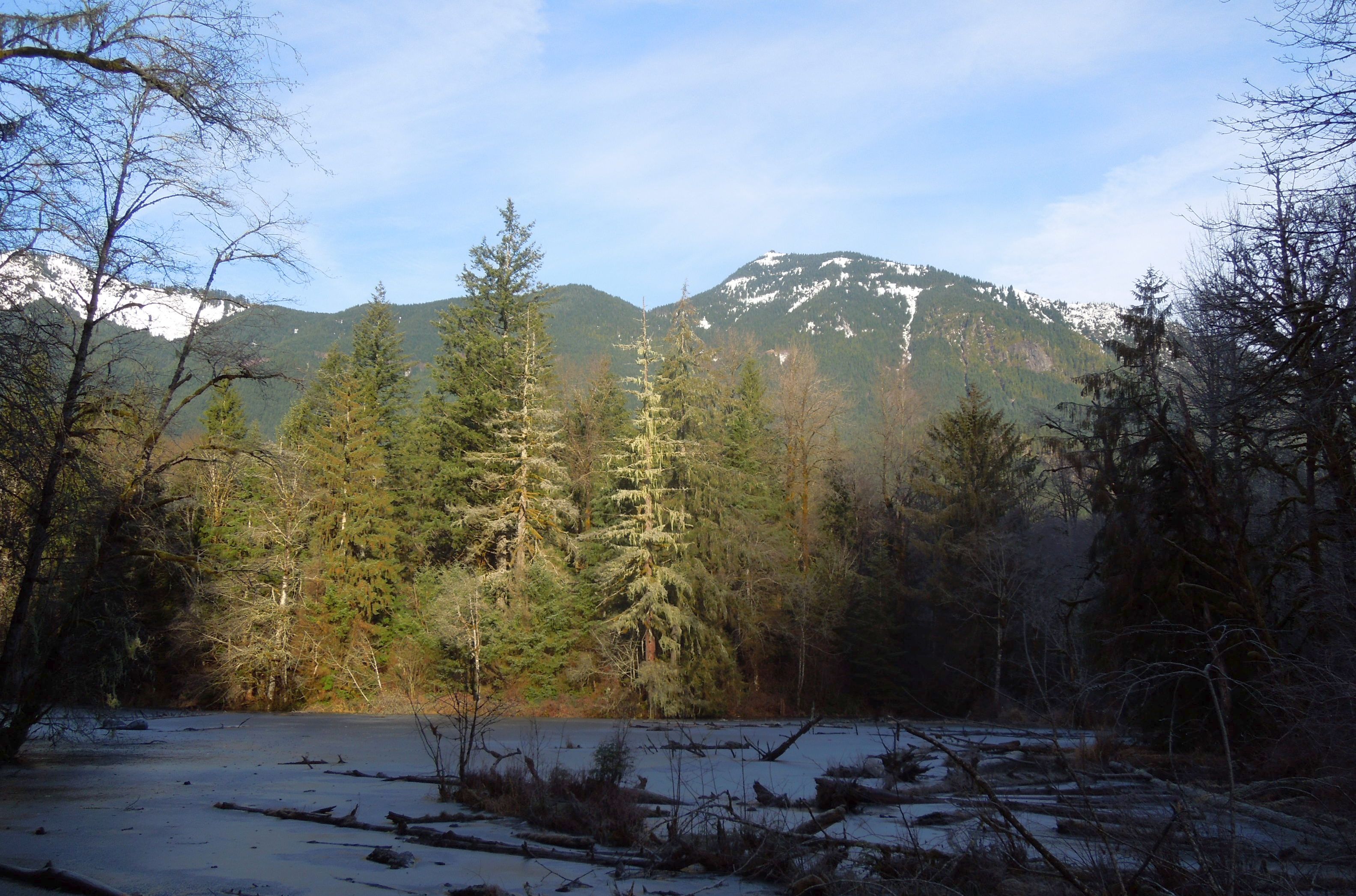
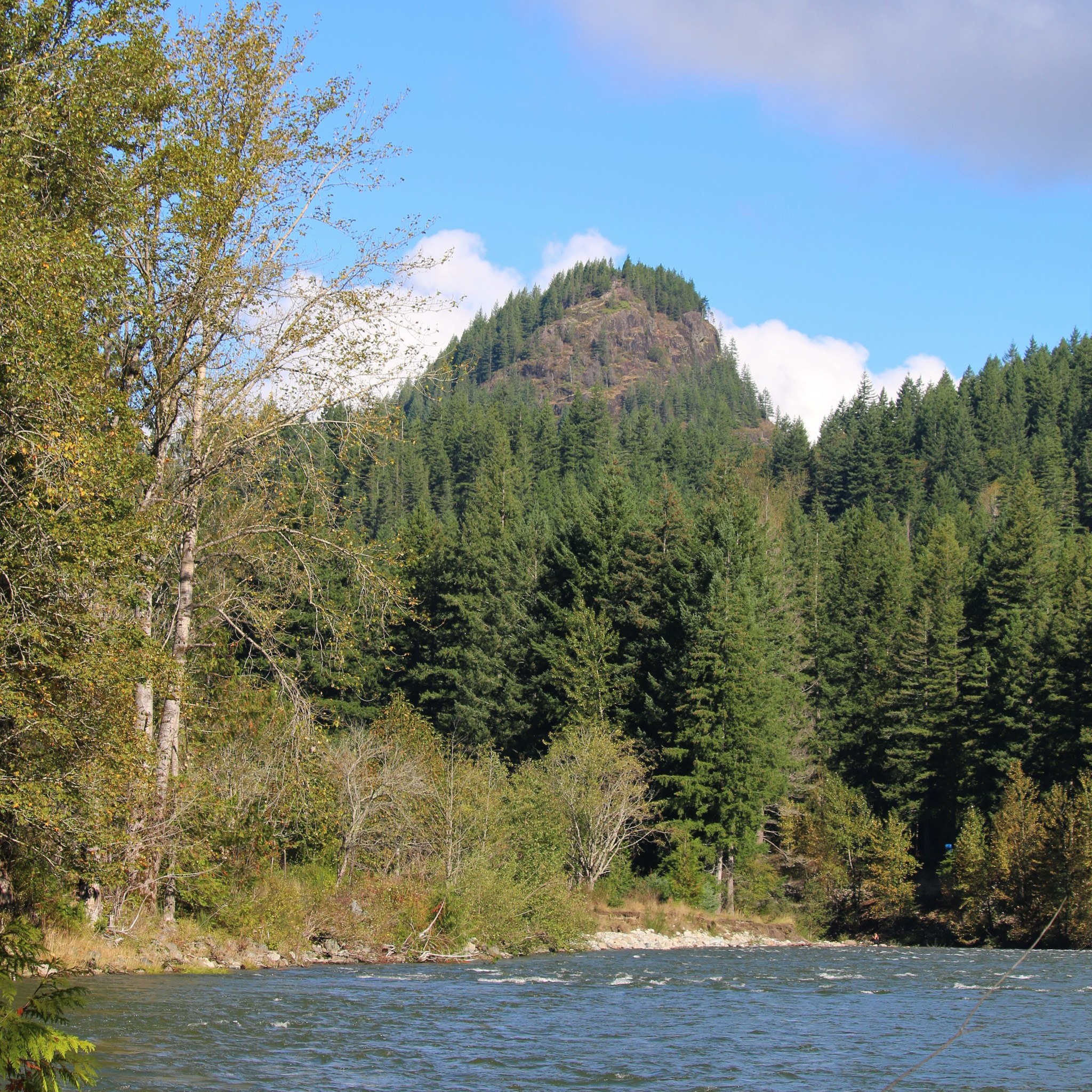
The West Fork Teanaway River trail follows the river up its narrow canyon for nearly ten miles one way, gaining twenty-eight hundred feet across the route. The grade is gradual, but the canyon walls press in close — the trail benches itself high above the water in places, with cliff drops on the river side and rock outcrops on the inside. Old-growth ponderosa pine and Douglas fir fill the lower river bench; subalpine larch and meadow take over above five thousand feet.
This is a classic Teanaway route — east-side dry country with the volume of an Alpine Lakes trip and a fraction of the foot traffic. Established campsites along the river make this a viable two-night out-and-back. Several river crossings demand attention through July when snowmelt is still pushing the flow; later in summer the fords drop to easy stepping-stone work.
The drive in does its own filtering. Forest Road 4305-113 turns rough on the last five miles — winding, slippery when wet, and unforgiving to passenger cars. Bring a vehicle that can handle ruts. Northwest Forest Pass at the trailhead. Best season is mid-July through early October once the high crossings settle.
Seasonal Highlights
Astronomy
Trail Conditions
Scorecard
Rough access road and long mileage filter out casual visitors. Most weekends see only a handful of parties.
Safety & Considerations
Today's Hazard
- Strong sun — sunscreen, hat, and sunglasses recommended; water reflection adds glare near the lake
Persistent Hazards
- Multiple river crossings — high through July with snowmelt
- Cliff exposure on benches above the river
- Rough access road slick when wet
- Long mileage with no quick exit
Getting There
High-clearance vehicle recommended
Trailhead at the end of Forest Service Road 4305-113. Northwest Forest Pass required. Last five miles of road are rough; high-clearance helps.
Similar Hikes