
Twin Falls
Snoqualmie Region
Astronomy
MoonWaxing Gibbous (71%)
Stargazingfair
Trail Conditions
Getting There
Similar Hikes
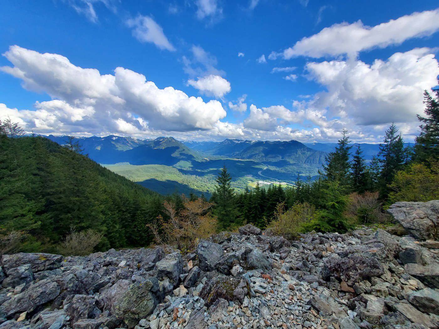
Mount SiWashington's most-climbed peak: 3,150 feet of relentless switchbacks to a Snoqualmie Valley panorama.
SummitOld Growth

Joe LakeA rugged bushwhack through the Gold Creek valley to a remote alpine lake with established camps and big mountain views.
LakeOld GrowthScenic Views
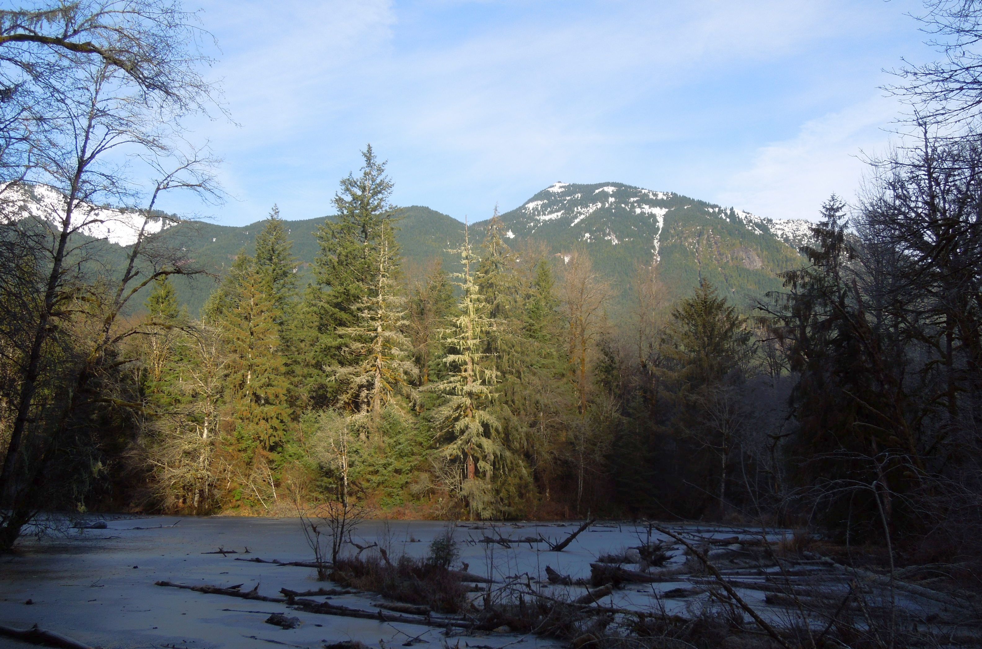
Oxbow Loop TrailA gentle loop around a glacially-formed oxbow lake in the Middle Fork Snoqualmie valley, with river views and old-growth canopy.
LakeRiverScenic Views
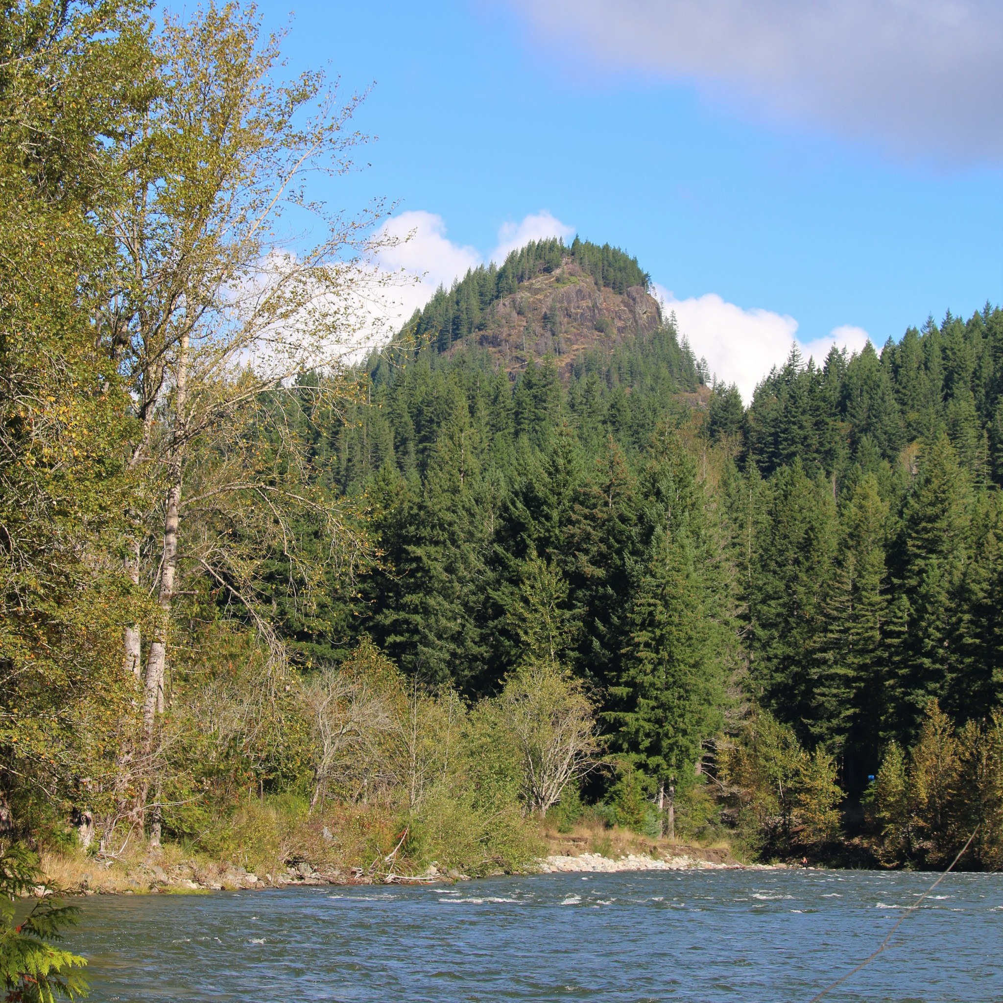
Tanner Landing ParkA flat riverside stroll with big mountain views, wildflower meadows, and easy connections to the Snoqualmie Valley Trail.
RiverScenic ViewsWildflowers

Teneriffe FallsA steep push through 22 switchbacks to a thundering cascade in the Mount Si foothills.
WaterfallForest Trail

Palouse to Cascades Trail - Cedar Falls to Change CreekA flat rail trail through Cascade foothills with trestle bridges, railroad history, and views of the Si peaks.
Dog FriendlyKid Friendly