Mount Teneriffe
Snoqualmie RegionBest May–Oct
A grinding 3,800-foot climb from valley floor to a 360-degree summit overlooking the entire Snoqualmie corridor.
About This Trail
Mount Teneriffe starts with a half-mile of switchbacks through second-growth forest, then joins an old logging road for a mellow 1.5-mile warm-up through young forest and meadows. A worthwhile side trail leads to Teneriffe Falls, a dramatic cascade with a small overlook. Watch footing here; the rocks near the falls are slick and the dropoffs are real.
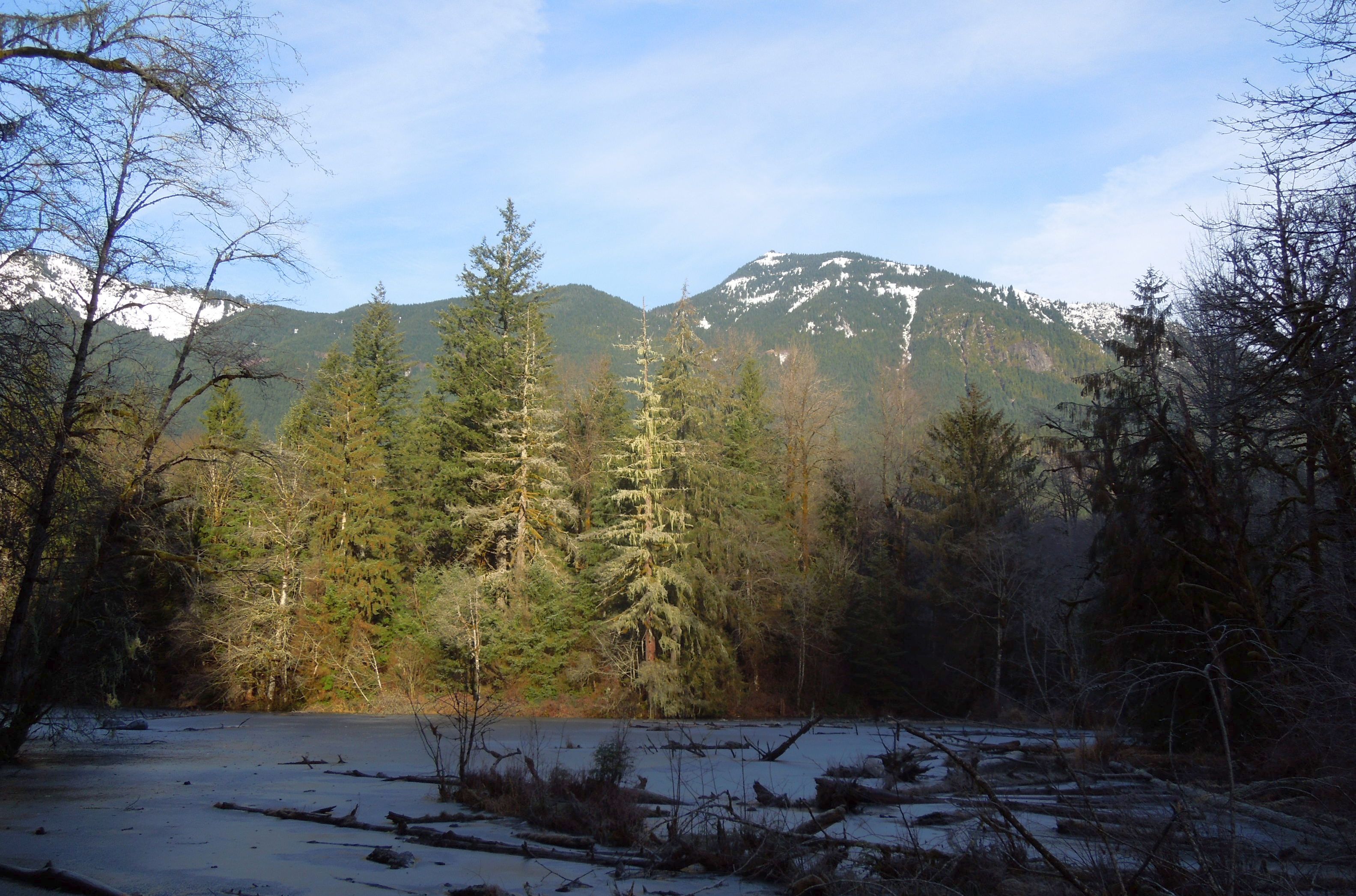
Past the Roaring Creek Trail junction, the route steepens significantly. Nearly three miles of switchbacks grind upward through increasingly mature forest. A built-in viewpoint partway up offers a rock bench and sweeping views down the Middle Fork Snoqualmie valley. The upper mountain transitions from old road to genuine trail through dense timber.
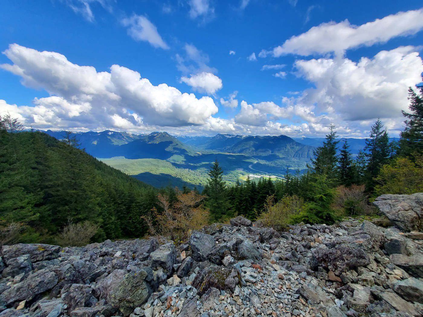
The summit requires a short rocky scramble up exposed rock. The reward is a full 360-degree panorama: Mount Rainier to the south, the Olympic Range to the west, Mount Si directly across the valley, and the Cascade crest marching north and east. This is a big day out with serious elevation gain. Strong hikers finish in 6 to 8 hours.
Forecast
Astronomy
Trail Conditions
Scorecard
Safety & Considerations
Today's Hazard
- Strong sun — sunscreen, hat, and sunglasses recommended
Persistent Hazards
- Rocky scramble to summit
- Slippery rocks and steep dropoffs at Teneriffe Falls
- Gate closes at dusk - check seasonal hours
- Snow on upper trail into late spring
Getting There
Discover Pass required. Large 70-car paved lot off SE Mount Si Road, 2.9 miles north of North Bend. Accessible restrooms at the trailhead. The gate opens roughly one hour after dawn and closes one hour before dusk; check seasonal hours before heading out. The old school bus turnaround area is closed to parking. Dogs allowed on leash.
The first 2 miles follow an old logging road, making navigation simple. After the Roaring Creek junction the trail narrows and steepens through switchbacks. The final push to the summit involves a short Class 2 scramble over rock. Stay on established trails to protect fragile alpine vegetation. Cell service is unreliable; download directions before leaving.
Start early to allow 6 to 8 hours round trip and to clear the gate before it closes at dusk. Summer mornings offer the best summit visibility. Parking fills by mid-morning on weekends.
Similar Hikes