Snoqualmie Lake
Snoqualmie RegionBest Jul–Oct
A long valley walk up the Taylor River to a large, quiet backcountry lake in the Alpine Lakes Wilderness.
About This Trail
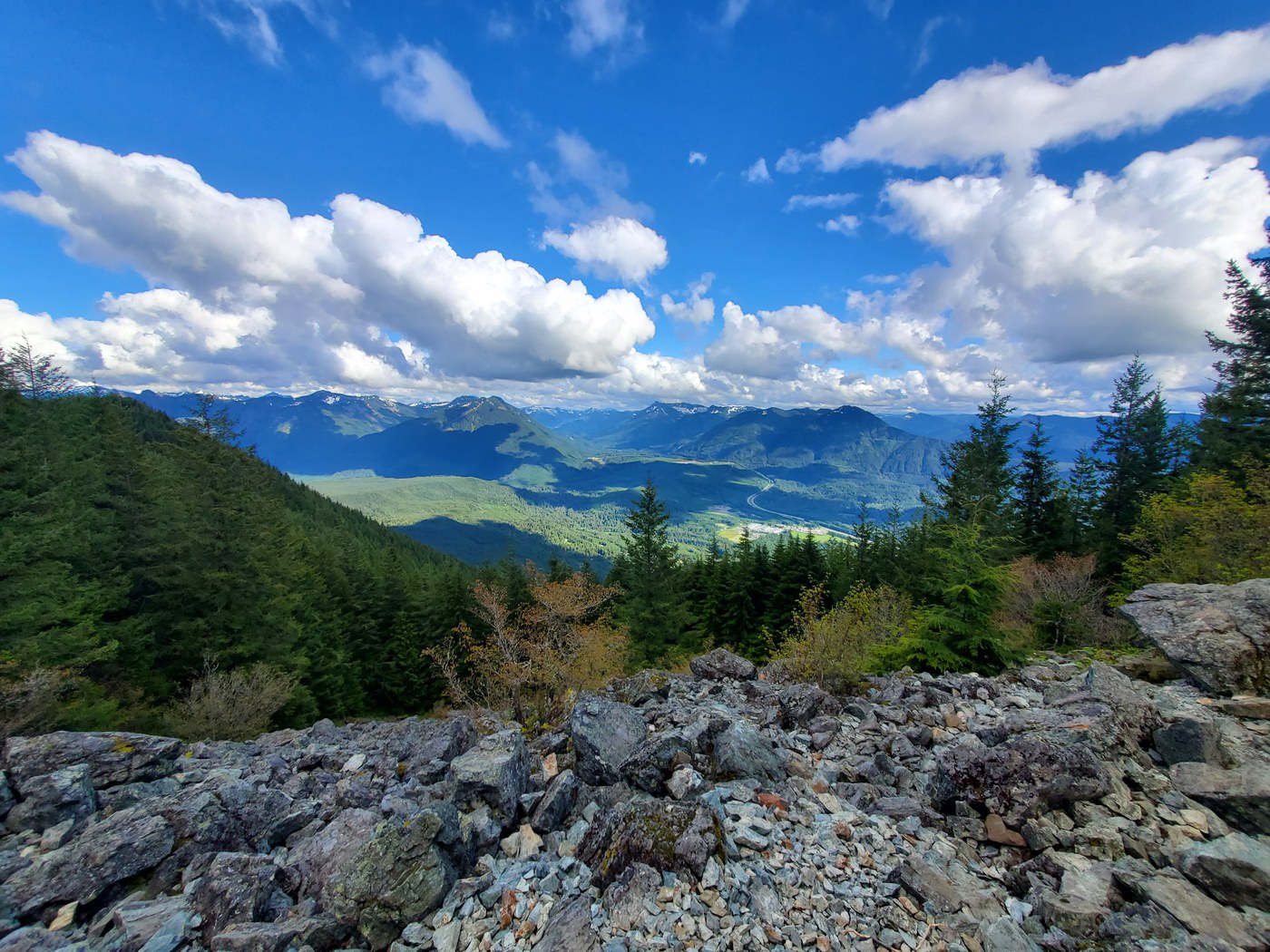
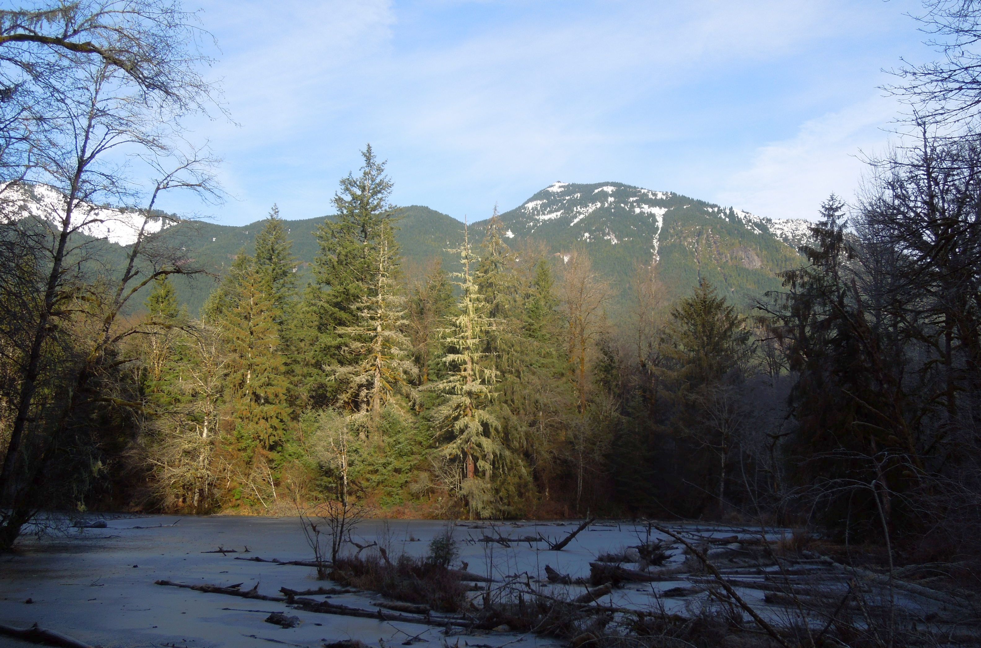
Snoqualmie Lake sits in a forested basin in the Alpine Lakes Wilderness, reached by a long approach up the Taylor River from the Middle Fork Snoqualmie road. Moss-laden birches, western redcedars, and hemlocks shade the old roadbed for the first miles, which give way to a narrower trail climbing past waterfalls and crossing side creeks. Nine miles in, the lake opens among subalpine forest at 3,147 feet.
The full round trip from the Middle Fork trailhead is 18 miles with 1,900 feet of gain, so most hikers turn this into an overnight. Established campsites ring the north shore. Strong day hikers can do it in a long summer day with an early start.
The alternate approach from Highway 2 adds a four-mile road walk because the final road is washed out. Northwest Forest Pass required. Leashed dogs are welcome. WTA has done maintenance work here repeatedly; expect the first miles of roadbed to be in good shape.
Seasonal Highlights
Astronomy
Trail Conditions
“One creek croossing is a bit washed out and a bit of a scramble.”
Last report: Apr 5, 2026
Scorecard
Distance filters crowds. Weekends see backpackers; weekdays are usually empty past the first river crossings.
Permits / Passes
Safety & Considerations
Today's Hazards
- Strong sun — sunscreen, hat, and sunglasses recommended; water reflection adds glare near the lake
- Washed Out
- Trees Down
Persistent Hazards
- Highway 2 approach road washed out — adds four miles of road walking
- Remote mileage: plan for a long day or overnight
- Creek crossings swell during rain and snowmelt
Getting There
Large gravel lot at the Middle Fork trailhead. A smaller 20-space lot at the Highway 2 trailhead exists but the access road is washed out and adds four road miles.
Recent Reports
Backpacked out to Snoqualmie Lake on April 5th for a little early season treat! The trail conditions are fine until the Snoqualmie Lake Junction.
My original plan was to hike to Snoqualmie Lake along with Deer, Bear, and Dorothy Lakes via Taylor River Trail (following this trail from AllTrails). Unfortunately, I was only able to reach Snoqualmie Lake due to conditions which I'll describe here.
Backpacked up to Snoqualmie Lake from the Snoqualmie Lake Trailhead. Road to the trailhead was OK, there's a couple washouts on the road from the highway to the trailhead, but they're well marked and you can drive around them.
Similar Hikes