Middle Fork Snoqualmie River
Snoqualmie RegionBest Apr–Nov
A long, gentle river walk through old-growth forest and quiet backcountry along the Middle Fork Snoqualmie.
About This Trail
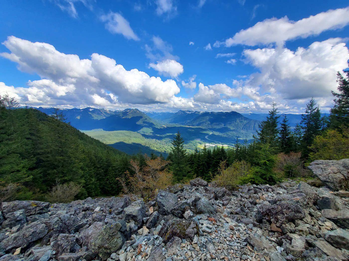
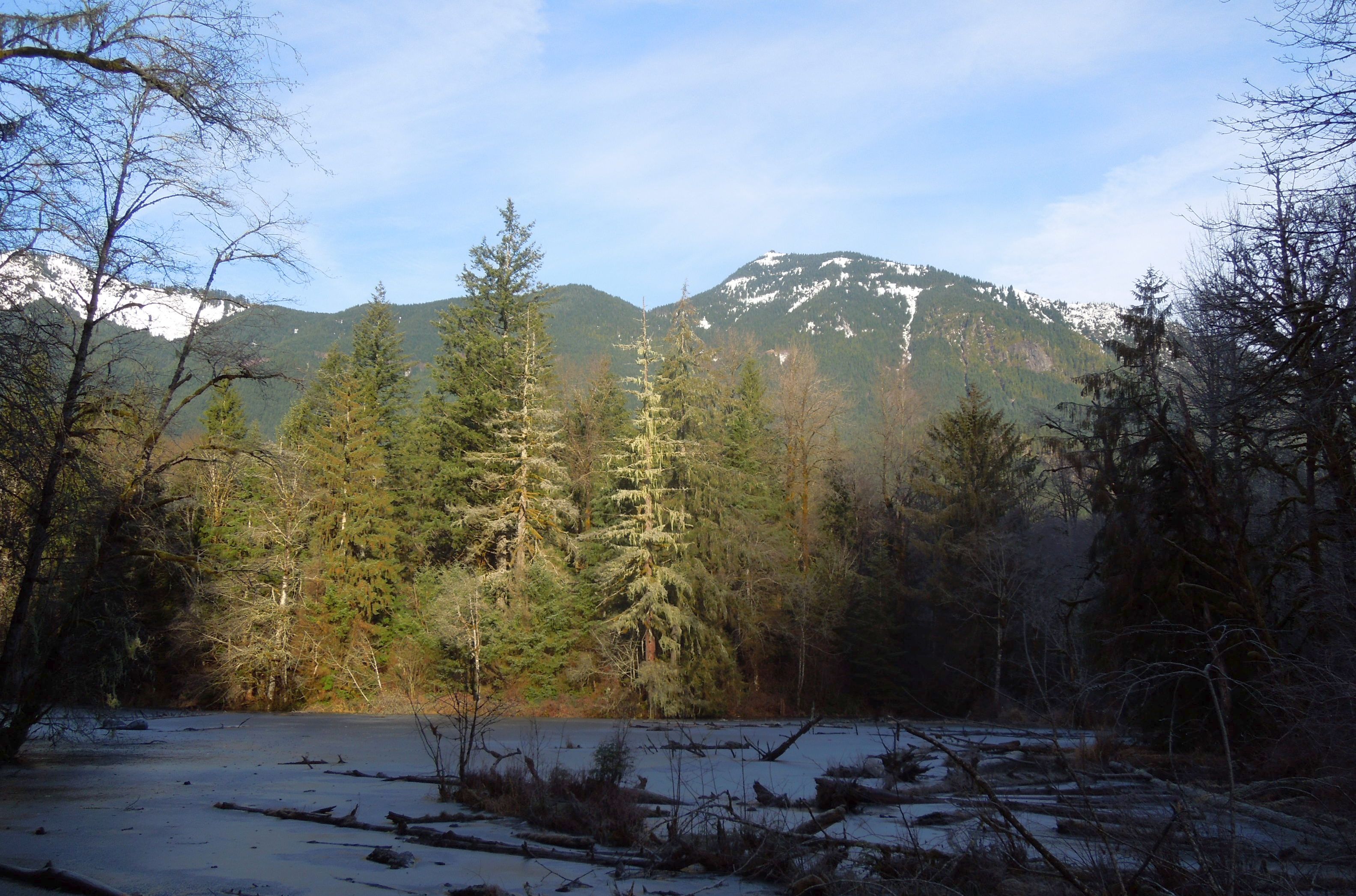
The trail follows the Middle Fork of the Snoqualmie River upstream through one of the more accessible old-growth corridors in the I-90 area. The grade stays gentle for miles, tracing an old railroad grade from the valley's logging era. A volunteer-built footbridge crosses the river early on, and from there the path pushes deeper into increasingly wild terrain.
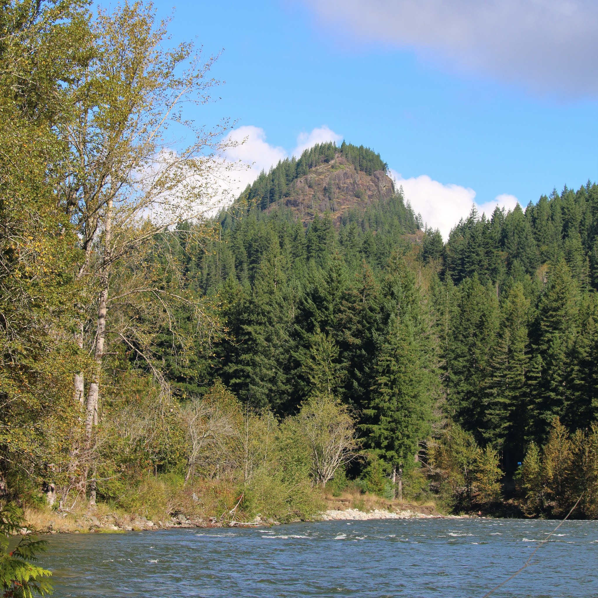
Stegosaurus Butte appears at three-quarters of a mile, a fun landmark for younger hikers. The route passes overhanging cliffs, crosses multiple creek drainages, and winds through stands of massive Douglas fir and western red cedar. At 5.8 miles, a large bridge over Dingford Creek marks a natural turnaround point for day hikers. Backpackers continue into the Alpine Lakes Wilderness beyond.
The trail sees shared use with mountain bikes on odd-numbered calendar days from June through October. Weekdays and early mornings tend to be quiet. Recent volunteer work has cleared major blowdowns for the first several miles, though downed trees remain a recurring feature of this low-elevation valley trail. Mud patches appear in spring and after heavy rain.
Astronomy
Trail Conditions
Scorecard
Safety & Considerations
Today's Hazard
- Strong sun — sunscreen, hat, and sunglasses recommended; water reflection adds glare near the lake
Persistent Hazards
- Blowdowns and downed trees
- Mud in spring and after rain
- Mountain bike traffic on odd calendar days Jun-Oct
- Long access road (FR 56) can be rough
Getting There
Northwest Forest Pass required. Toilet at the trailhead. The access road (Forest Road 56) runs 11.8 miles from I-90 Exit 34 and can be rough in spots. Parking lot stays well below capacity on most days; weekend mornings see moderate use. Dogs allowed on leash.
From the trailhead, a footbridge crosses the Middle Fork early in the hike. The route is flat to gently rolling for the first several miles along the old railroad grade. Creek crossings are bridged. Dingford Creek bridge at 5.8 miles makes a good turnaround. Navigation is straightforward with no junctions to cause confusion until deeper in the wilderness. Mountain bikes share the trail on odd-numbered calendar days June through October.
The long access road adds 30 to 40 minutes of driving from I-90. Start times are flexible since the trail stays shaded and cool. Allow 5 to 7 hours for the full out-and-back to Dingford Creek. Shorter turnarounds work well for families.
Similar Hikes