Muir Snowfield
Mount Rainier AreaBest Mar–Jul
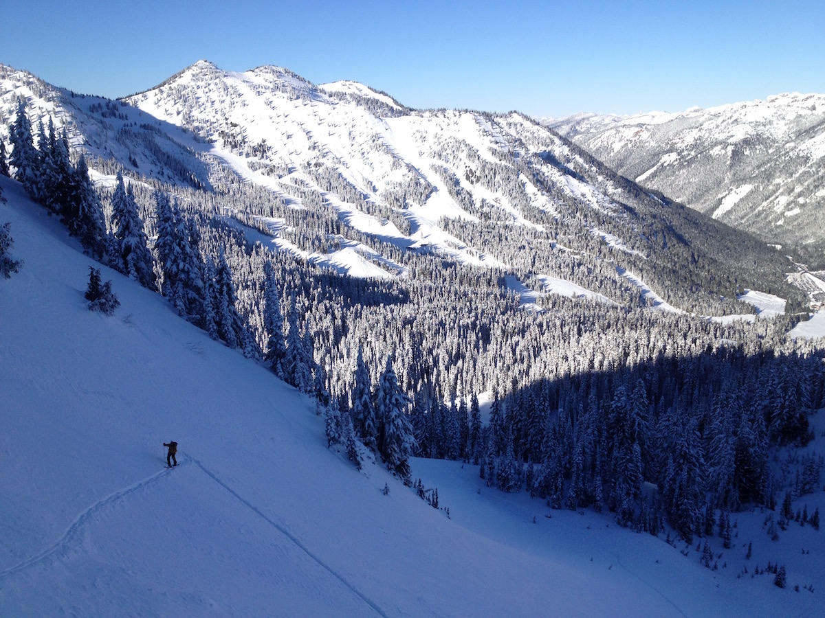
The classic Mt. Rainier ski tour — Paradise to Camp Muir, 4,600 feet of vertical on the south flank of the volcano.
About This Trail
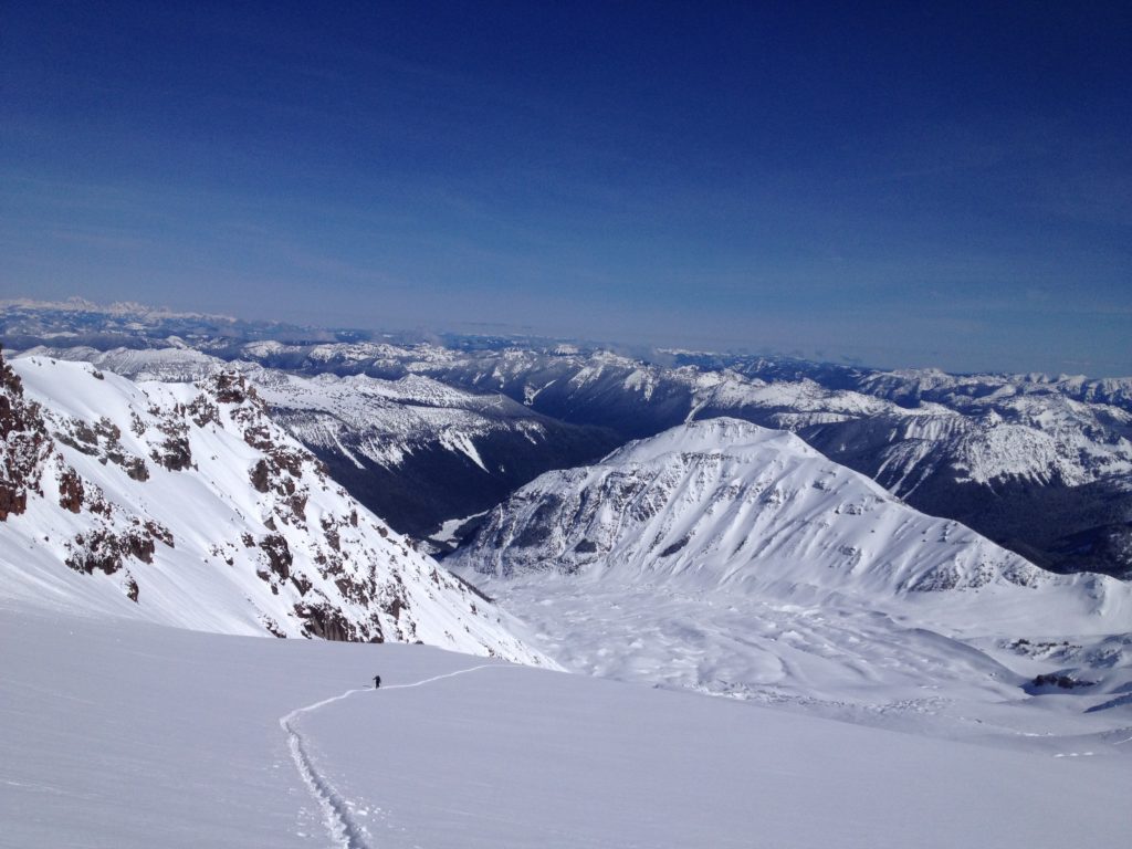
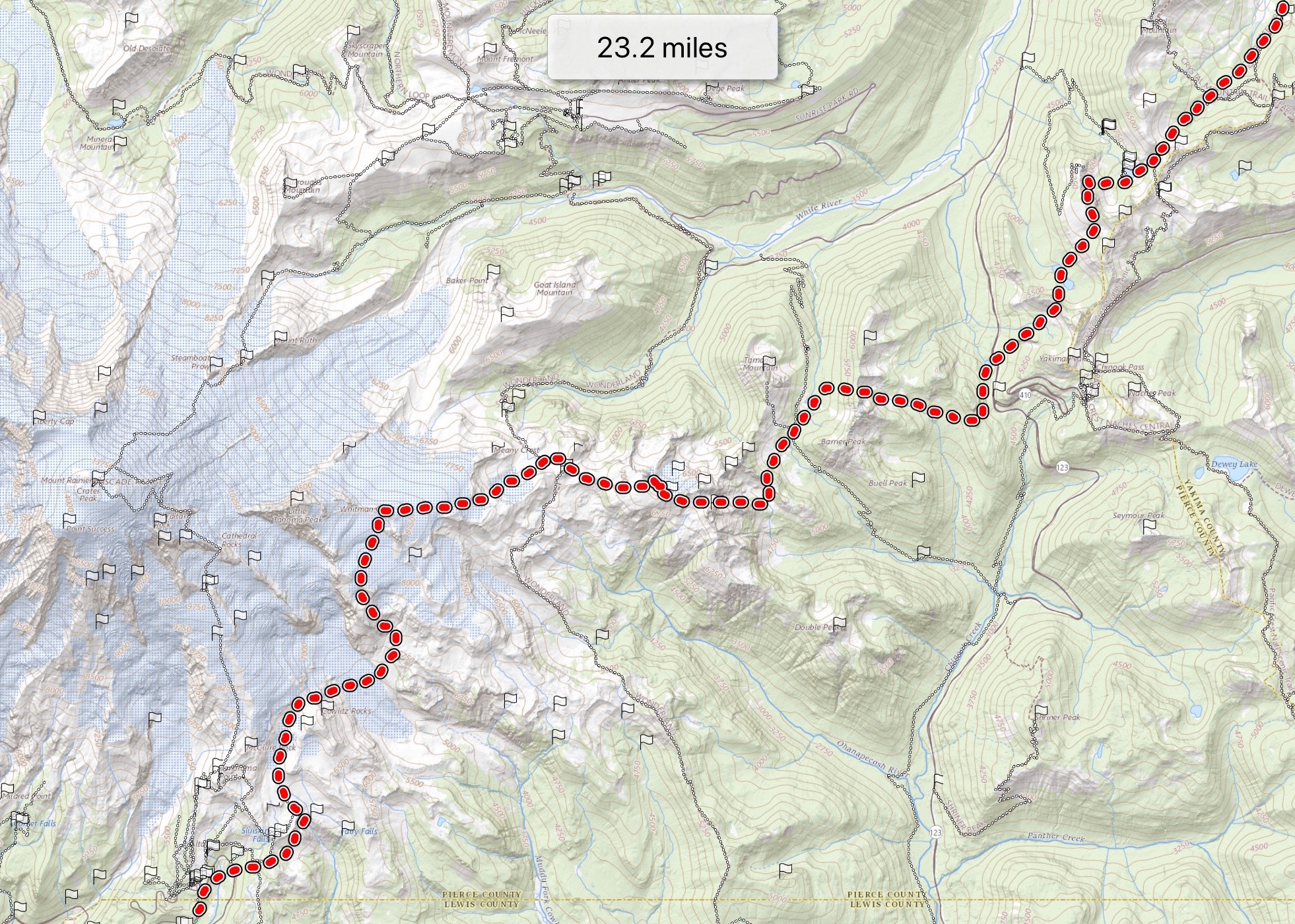
The Muir Snowfield is the standard ski touring objective on Mount Rainier — a forty-six-hundred-foot climb from the Paradise parking lot at five thousand four hundred feet to Camp Muir at ten thousand one hundred and eighty-eight feet, all on the broad south-facing snowfield that gives the route its name. The snowfield is non-glaciated above the lower transition from the Nisqually Glacier crossing, which keeps the avalanche hazard manageable through most of the season.
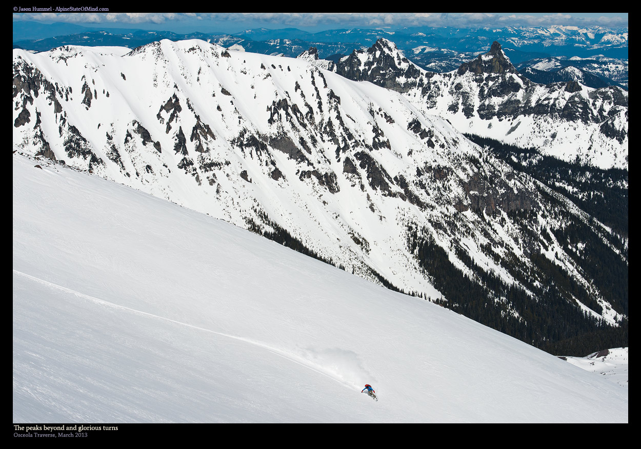
The skiing is what people come for. Open snowfield turns from Camp Muir down through the broad upper bowl, with Panorama Point's rock exposures setting the only hard line on the descent. Conditions vary across the year — mid-winter delivers cold powder over hard base with sastrugi at the top, spring corn cycles fill the snowfield through May and June, and the route stays skiable into October most years.
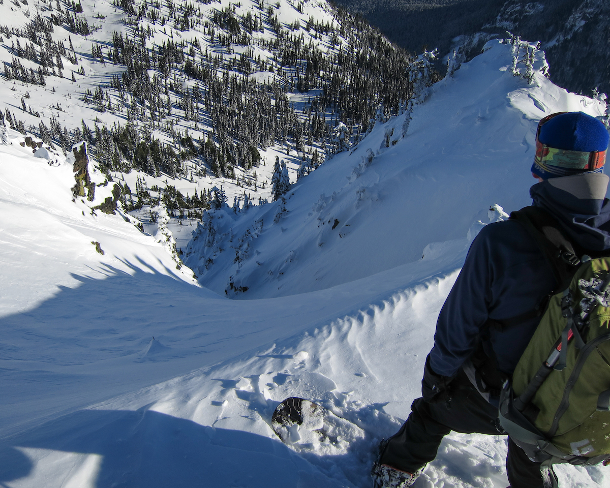
Mt. Rainier weather makes its own rules. Lenticular clouds over the summit, freezing-level swings, and sudden whiteouts can turn this from a casual climb into a serious epic. Ski crampons help on the typical hard mid-winter snow. Climb time of three to five hours from Paradise to Camp Muir is typical for fit parties.
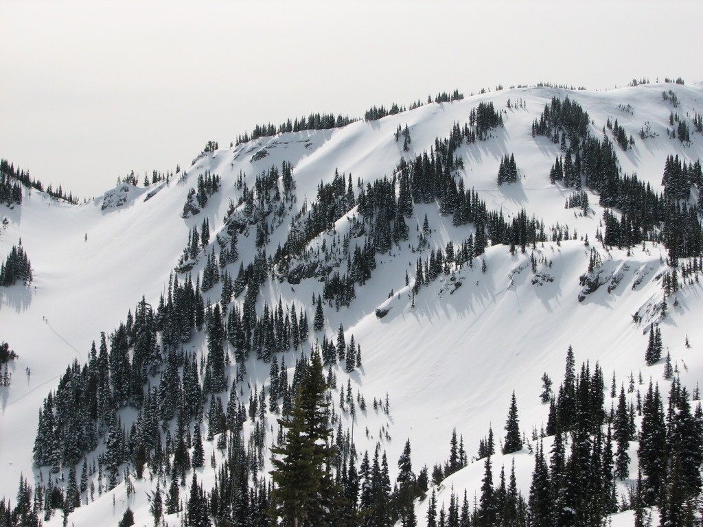
Open snowfield skiing on the broad south face of Mt. Rainier. Mid-winter delivers cold powder over hard base with sastrugi at top. Spring corn fills the snowfield through May-June. Wide-open turns from Camp Muir down to Pebble Creek; lower section gets cut up and crusty.
Established skin track typical from Paradise through Pan Point. Trail-breaking common in mid-winter after fresh snow. Boot-track to Camp Muir often visible spring through summer.
Seasonal Highlights
Astronomy
Trail Conditions
Scorecard
Spring weekends see steady traffic from Seattle. Mountaineering parties bound for the upper mountain share the route May through July. Weekday mornings stay quieter.
Safety & Considerations
Persistent Hazards
- Whiteout and rapid weather change — lenticulars and sudden cloud-up are common
- Crevasse hazard at lower transition near Nisqually Glacier crossing
- Sastrugi and hard ice above 8,000 ft in midwinter — ski crampons help
- Rock exposures at Panorama Point and the lower snowfield transitions
- Altitude effects above 8,000 ft for unacclimatized parties
Getting There

Paradise parking lot. National Park Pass required. Lots fill on weekend powder days; arrive early.
Similar Hikes