Osceola Traverse
Mount Rainier AreaBest Apr–Jun
A four-day, 36-mile ski traverse of Rainier's north side, linking Carbon River to White River across three glaciers.
About This Trail
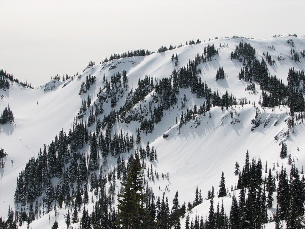
The Osceola Traverse links Carbon River to White River across Mount Rainier's entire north side, covering 36 miles and 18,000 feet of vertical gain over four days. The route strings together prominent ridgelines, glaciers, and alpine passes into one continuous ski traverse of the mountain's wildest terrain.
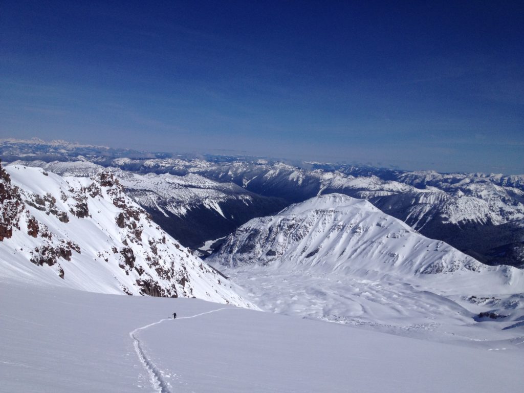
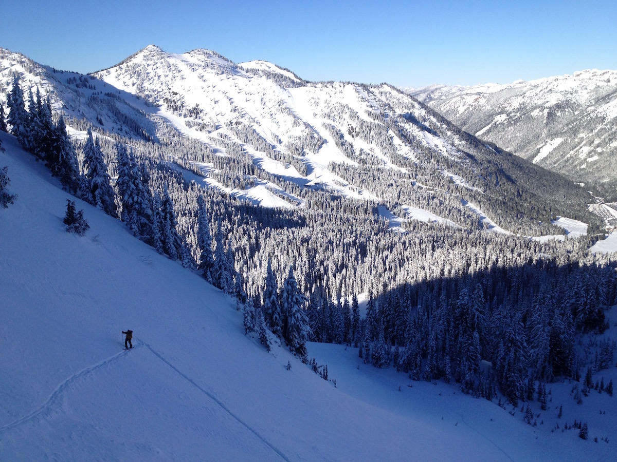
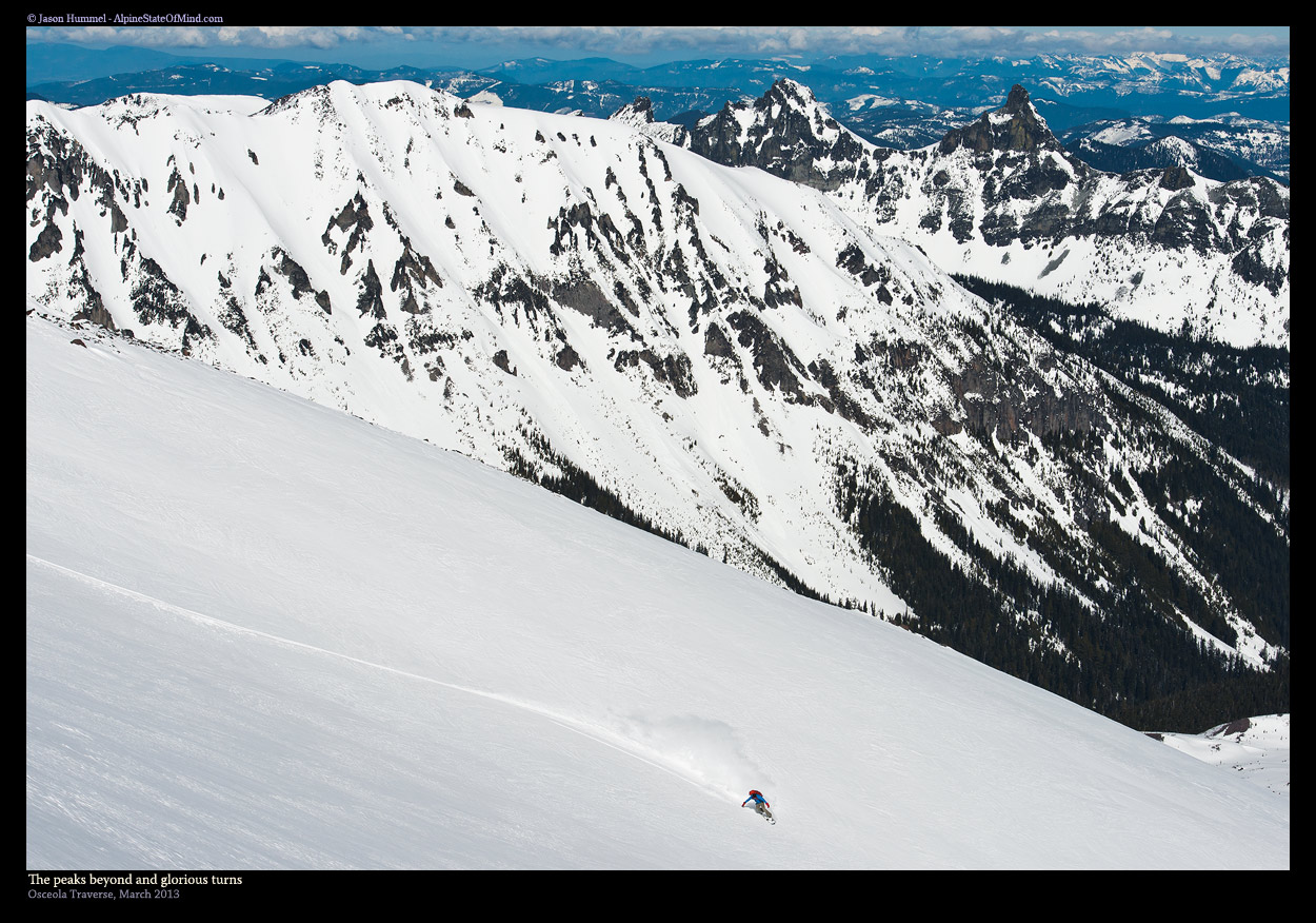
From Carbon River Ranger Station at 1,700 feet, the route climbs Alki Crest to Tolmie Peak Lookout, then drops to Mowich Lake. From Mowich, the line pushes through Knapsack Pass into Mist Park and over Mount Pleasant to Spray Park. The middle section crosses the Russell Glacier shoulder and descends past the Carbon Glacier, where 3,000-foot northeast-facing descents drop through open powder fields. The route then gains Curtis Ridge before traversing toward the Burroughs and descending to the White River corridor.
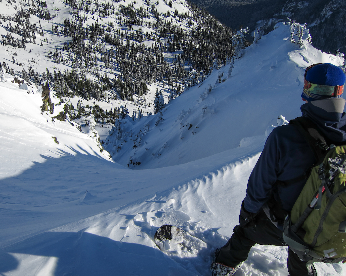
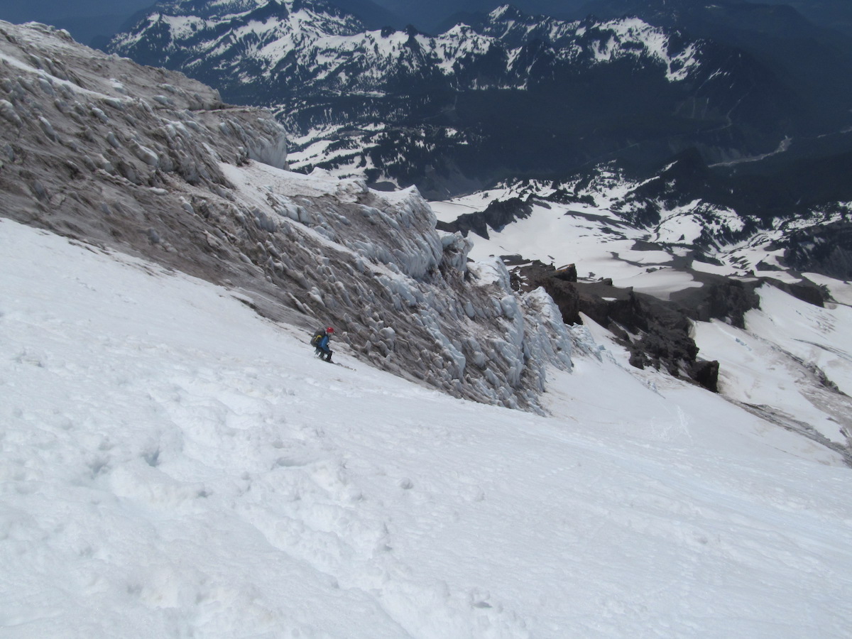
Three glacier crossings define the technical character: Russell, Carbon, and Flett. Crevasse rescue gear is mandatory. The steep descents demand stable snowpack and confident skiing in consequential terrain. High-altitude camping at exposed ridgeline sites brings extreme cold and wind.
This is one of the most ambitious ski traverses on Mount Rainier. It demands advanced mountaineering skills, route-finding in unmarked terrain, and the fitness to sustain 18,000 feet of climbing across four days. The reward is uninterrupted views of Willis Wall, the Carbon Glacier icefall, and Rainier's north face from angles few people ever see.
Forecast
Astronomy
Trail Conditions
Scorecard
Safety & Considerations
Today's Hazard
- Strong sun — sunscreen, hat, and sunglasses recommended
Persistent Hazards
- ATES Complex: steep descents with serious avalanche exposure throughout
- Three glacier crossings: Russell, Carbon, and Flett; crevasse rescue gear mandatory
- Exposed ridgeline camping with extreme cold and wind
- Route-finding in unmarked alpine terrain; navigation skills essential
- 3,000-foot descents on steep northeast-facing slopes require stable snowpack
- 36 miles and 18,000 feet of gain over 4 days; fitness and self-sufficiency critical
Getting There

Car shuttle required. Start at Carbon River Ranger Station, finish at White River. Both are accessed from Highway 410 and Highway 165 respectively.
Begin at Carbon River Ranger Station at 1,700 feet. Climb Alki Crest to Tolmie Peak, then descend to Mowich Lake. From Mowich, push through Knapsack Pass to access the high traverse. Alternative: start at Mowich Lake to skip the Alki Crest approach.
Multi-day objective. Plan for four days with high-altitude camps. Weather windows are critical; exposed ridgeline travel in storms is dangerous. Spring conditions with stable snowpack and long days are optimal.
Similar Hikes