Kautz Glacier
Mount Rainier AreaBest Apr–Jun
An 11,200-foot vertical descent from Rainier's summit through glacier terrain to the valley floor, one of the longest ski runs in the Cascades.
About This Trail
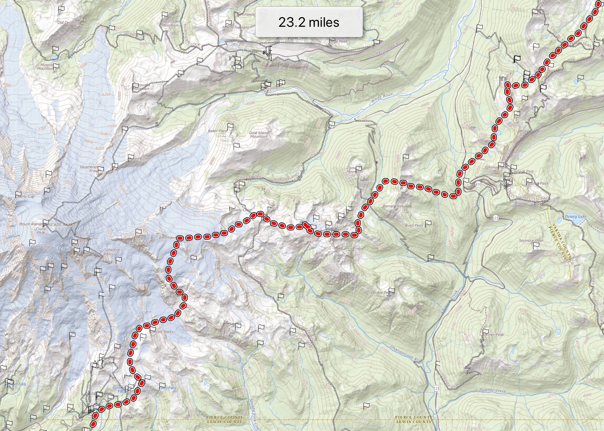
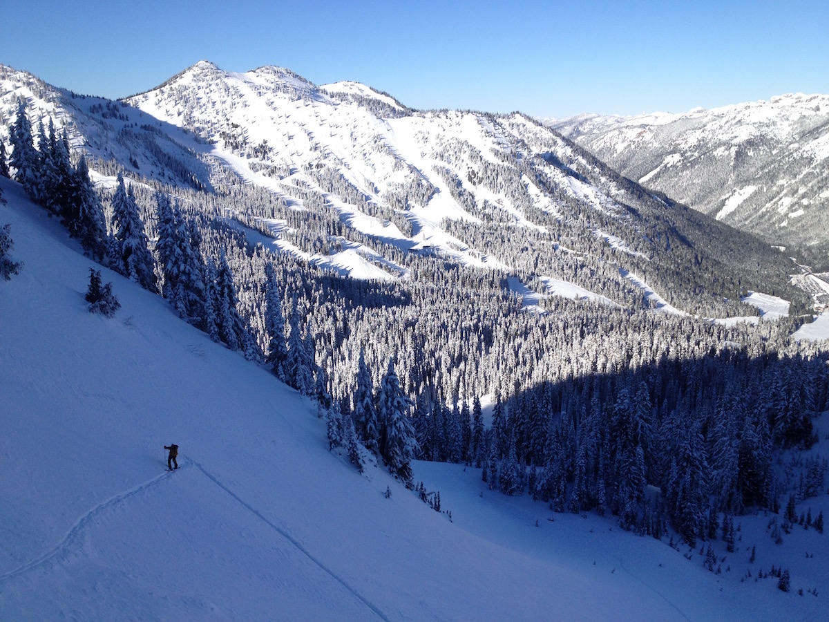
The Kautz Glacier route delivers an 11,200-foot vertical descent from the summit of Mount Rainier to the Nisqually Bridge parking area at 3,200 feet. This is among the longest continuous ski descents in the Cascades. The approach follows the standard Muir Snowfield route from Paradise to Camp Muir on day one, then ascends the Ingraham Glacier route to the 14,411-foot summit early on day two before transitioning to the Kautz for the descent.
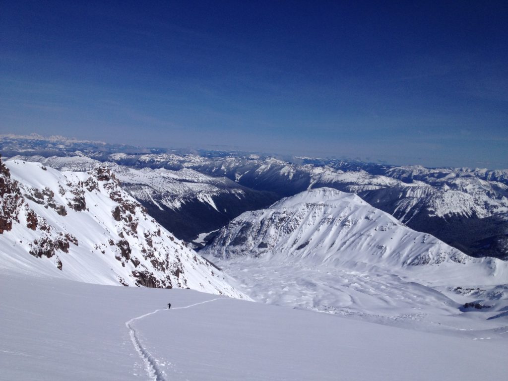
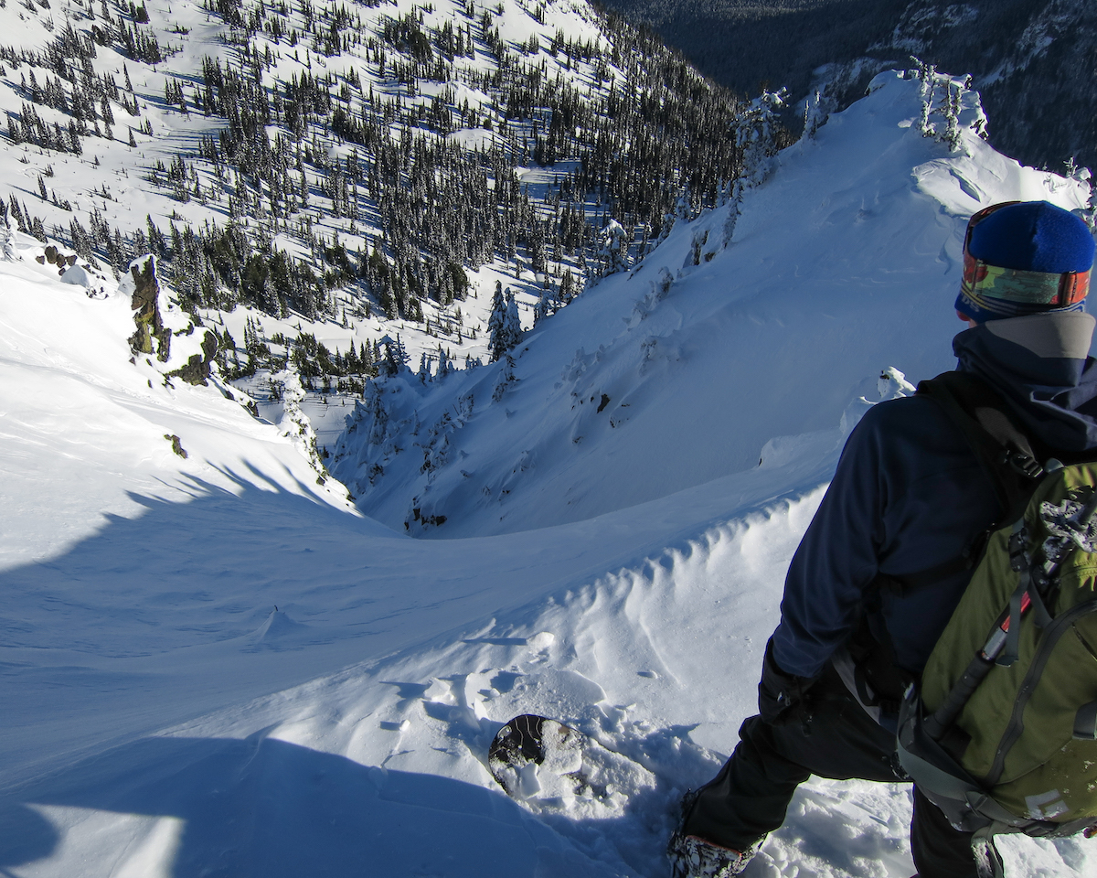
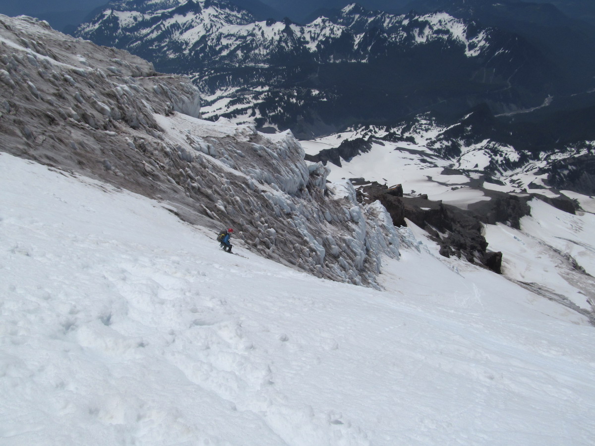
The upper Kautz drops steeply through a clean bergschrund crossing, then funnels into the main glacier choke flanked by a 300-foot ice cliff. Timing this descent correctly is everything: the choke must still hold snow cover, as late-season conditions expose bare glacial ice and make the passage dangerous or impossible. Below the choke, the route traverses to a feature called "the Turtle," then exits via the Nisqually Glacier to wide-open slopes above the parking lot.
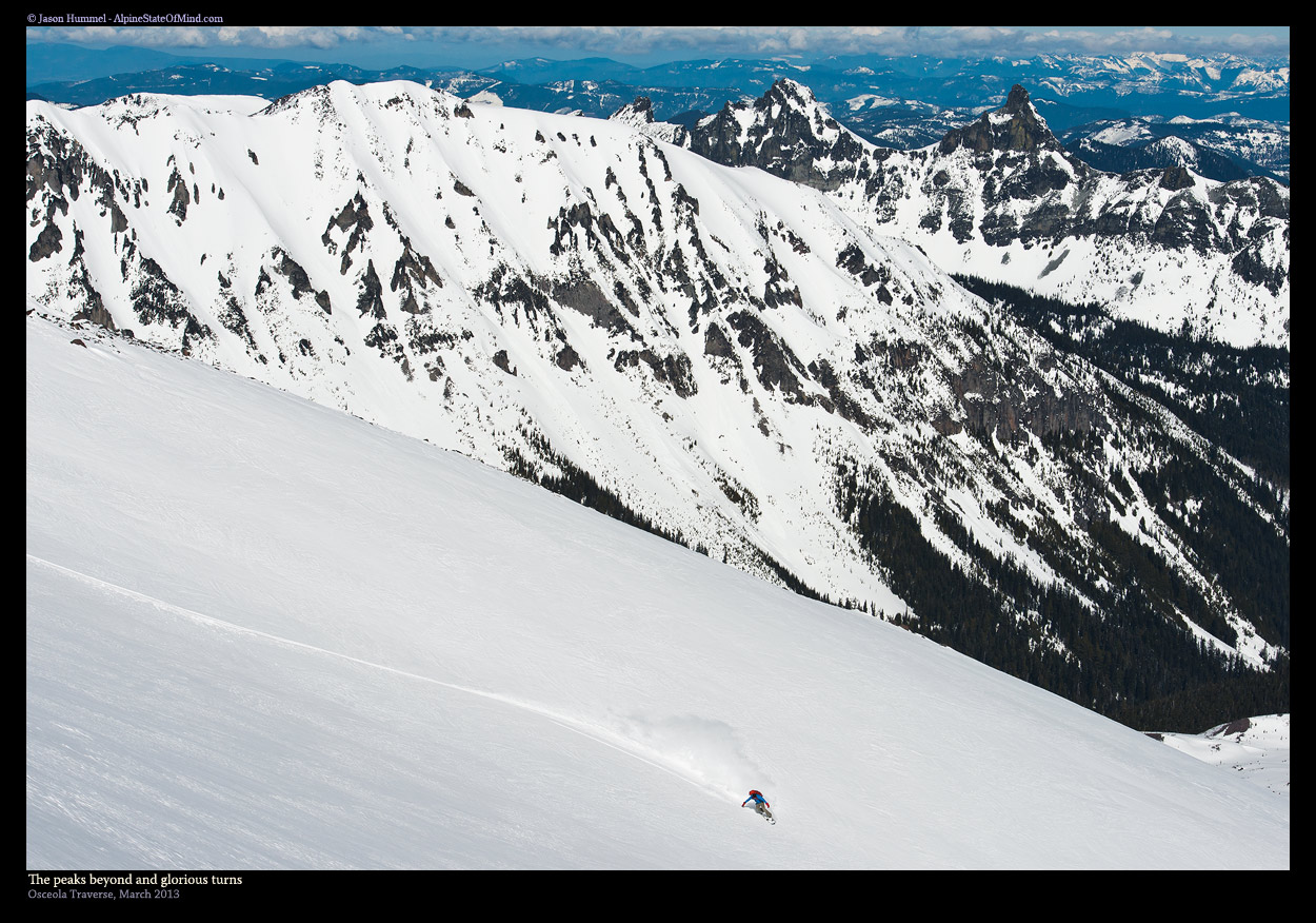
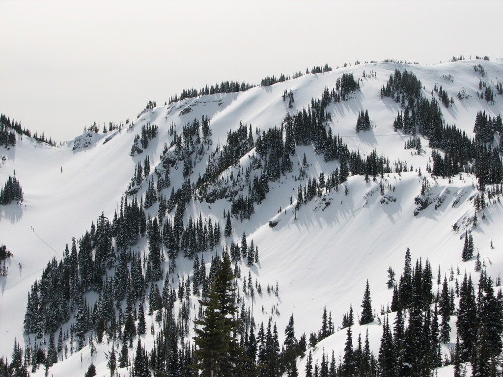
Spring corn conditions transform the lower mountain into perfect edgeable turns with views of Adams, Saint Helens, Goat Rocks, and the Tatoosh Range spread across the southern horizon. The upper mountain may hold new snow from recent storms, adding variety to the descent. Rope up for the glacier sections and carry full crevasse rescue gear. This route rewards precise timing and strong glacier skills with a descent that just keeps going.
Forecast
Astronomy
Trail Conditions
Scorecard
Safety & Considerations
Today's Hazard
- Strong sun — sunscreen, hat, and sunglasses recommended
Persistent Hazards
- Bergschrund crossing on upper glacier
- 300-foot ice cliff flanking the main choke
- Crevasse fields requiring roped travel
- Late-season bare glacial ice in the choke
- High altitude weather exposure above 14,000 feet
- Car shuttle required between Paradise and Nisqually Bridge
Getting There

Paradise area, Mount Rainier National Park. National park entrance fee required. Large parking lot but fills early on spring weekends. Descent ends at Nisqually Bridge parking area, so a car shuttle or pickup is needed.
Day one: Hike the Muir Snowfield from Paradise to Camp Muir at a brisk pace. Day two: Early alpine start up the Ingraham Glacier route to the summit. Transition to skis at the summit and descend the Kautz Glacier. Navigate the bergschrund, the main choke below a 300-foot ice cliff, traverse to the Turtle, then exit via the Nisqually Glacier to the road.
Summit push starts well before dawn from Camp Muir to reach the top while upper snow is still firm. Descend the Kautz as corn cycles soften through mid-morning. The timing window for the glacier choke is seasonal, not daily: go when it still holds snow cover.
Similar Hikes