Mt. Rainier Tahoma Glacier
Mount Rainier AreaBest May–Jun
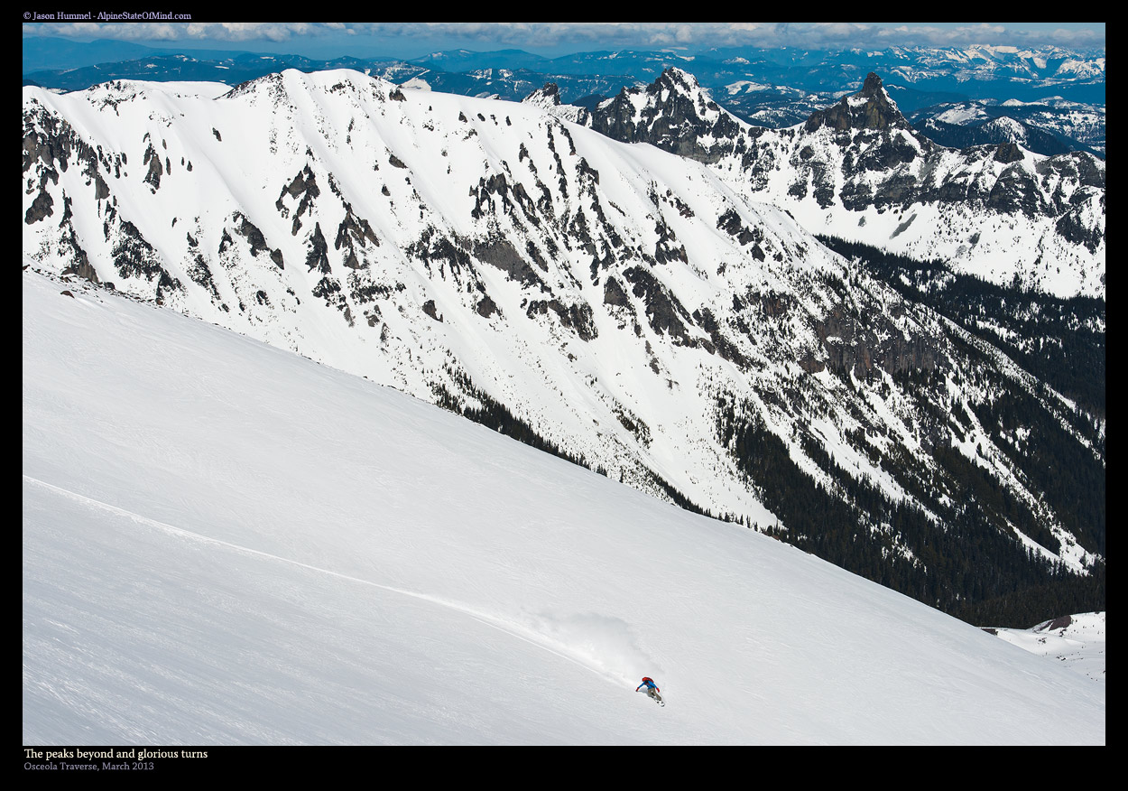
A west-side ski descent of Mt. Rainier — summit via DC, twelve thousand feet down the Tahoma to Westside Road.
About This Trail
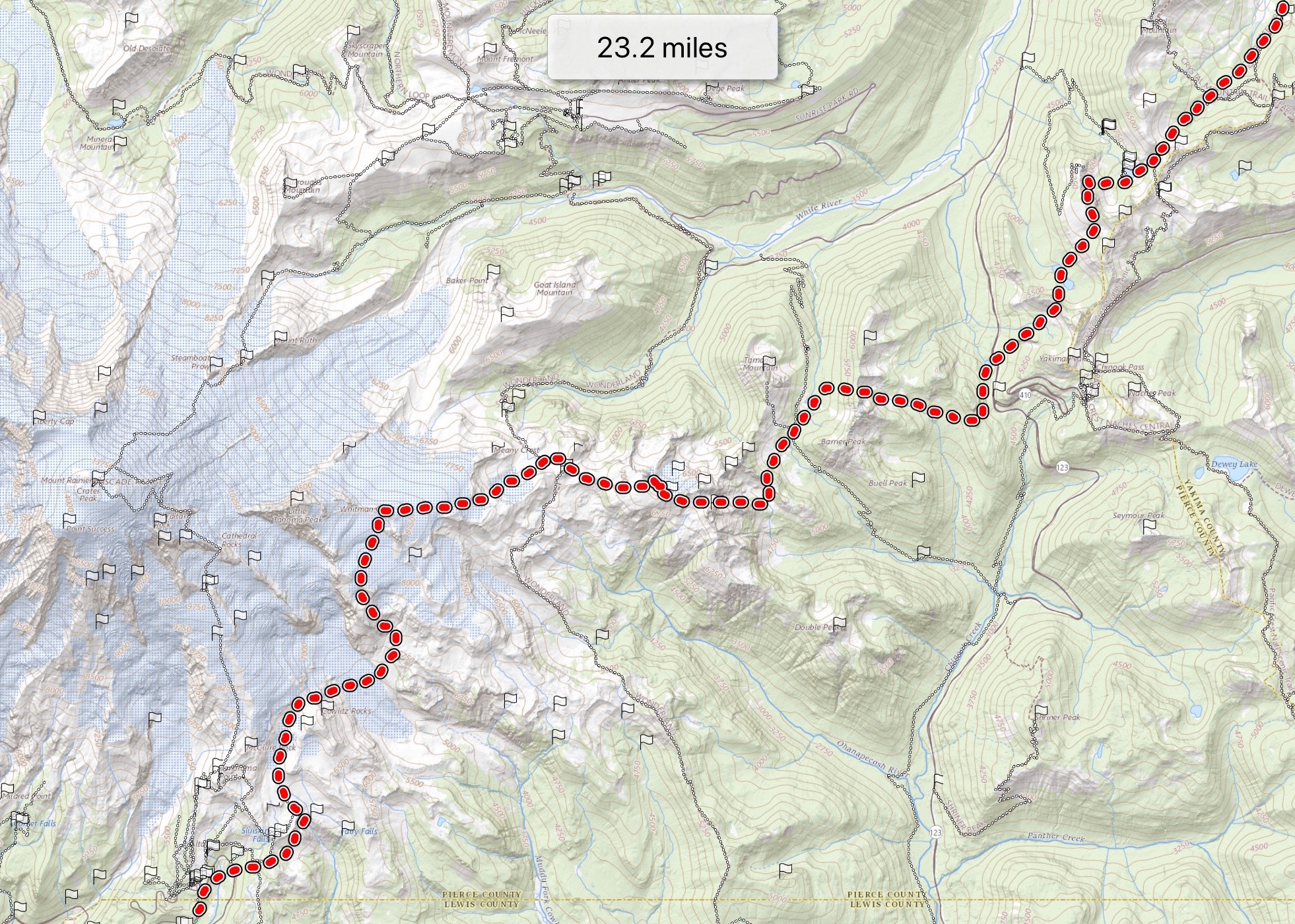
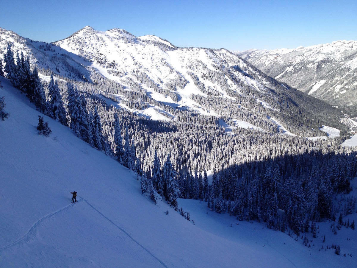
The Tahoma Glacier descent is one of Mt. Rainier's classic west-side ski mountaineering objectives — summit the mountain via the Disappointment Cleaver, then drop the Tahoma's mile-wide western flank for a twelve-thousand-foot descent to the Westside Road exit at Tahoma Creek. The standard execution is a fourteen-hour car-to-car day from Paradise, with a shuttle for the Westside Road pickup.
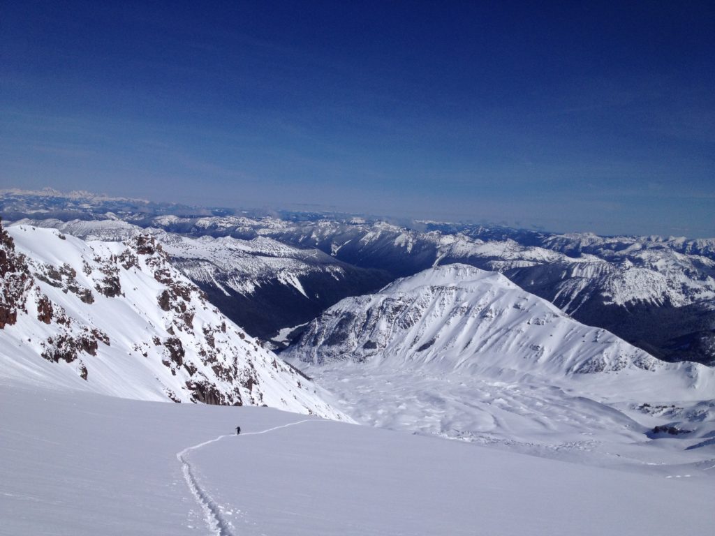
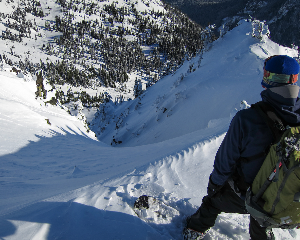
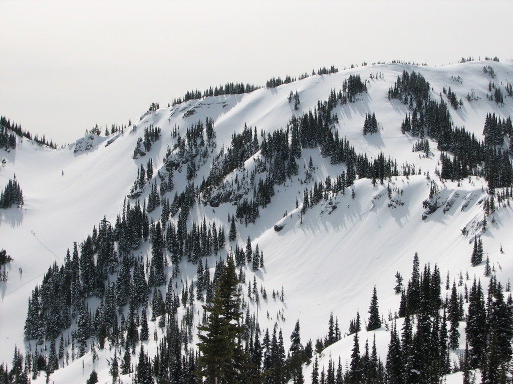
The Tahoma is the dramatic side of Rainier — a mile wide, flanked by steep rock walls, and littered with some of the biggest seracs on the mountain. The crevasse maze in low-snow years demands two ropes, short ski pitches, and constant route-finding. Snow conditions move from firm at the summit through good middle pitches into sloppy at the lower glacier.
This is committing terrain demanding the full ski mountaineering toolkit. Snow bridge testing, serac avoidance, summit weather management, and a long shuttle exit all combine. Late May offers the standard window before crevasses open too far. National Park Pass and climbing permit required.
Mile-wide west-facing glacier with steep rock walls flanking. Firm at summit, good middle pitches, sloppy lower glacier. Crevasse maze navigation throughout.
DC route skin track set up by climbing parties through May-June. Bootpack on the upper transitions; descent navigation through the crevasse fields.
Seasonal Highlights
Astronomy
Trail Conditions
Scorecard
Few parties attempt the Tahoma in any season. Climbers on the DC route share the upper mountain only.
Safety & Considerations
Today's Hazard
- Strong sun — sunscreen, hat, and sunglasses recommended
Persistent Hazards
- Glacier travel through extensive crevasse maze — two ropes recommended
- Massive seracs threaten parts of the descent line — timing critical
- Snow bridge testing required — careful line choice
- High wind at summit shuts down the route — check forecasts tightly
- Long shuttle exit on Westside Road
- Climbing permit and Wilderness permit required from MRNP
Getting There

Paradise lot for the start. Westside Road / Tahoma Creek pickup for the exit — shuttle required. National Park Pass required.
Similar Hikes