Ruby Mountain
Stevens Pass AreaBest Apr–May
A 360-degree summit perch in the heart of the North Cascades with quality spring skiing through larch meadows.
About This Trail
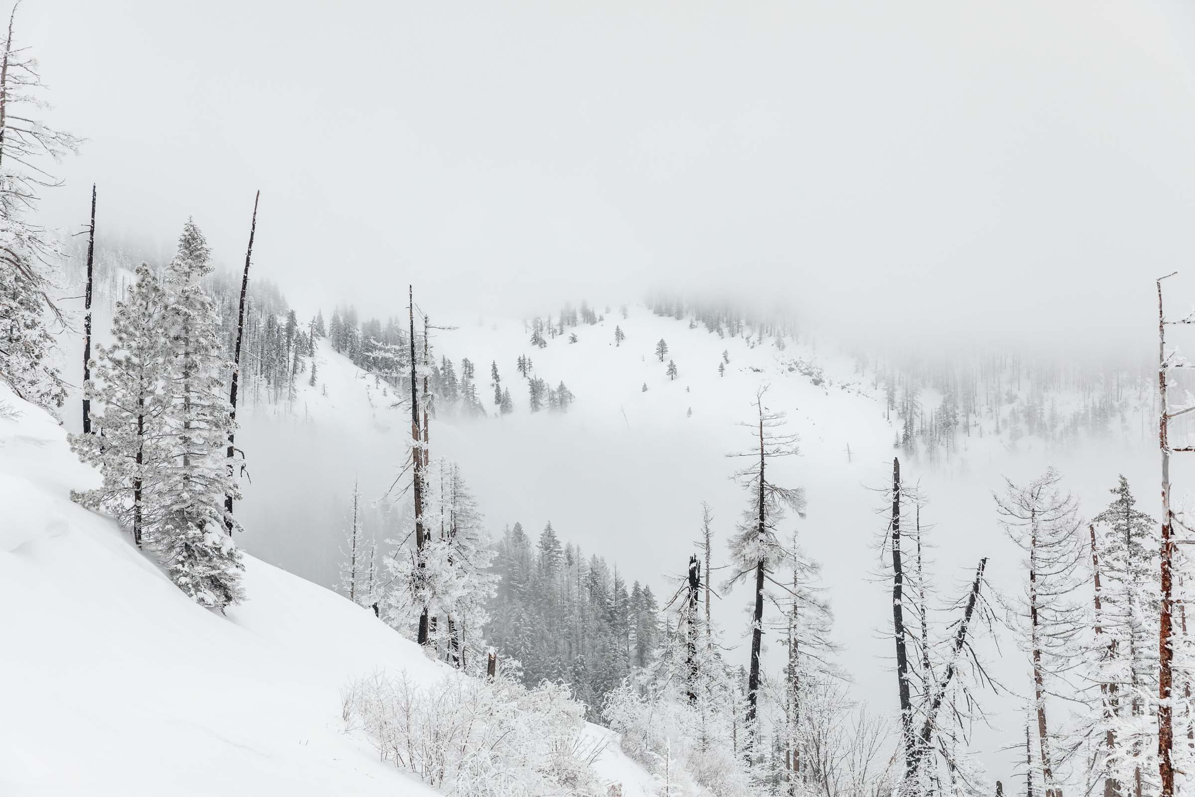
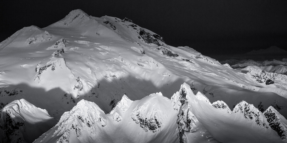
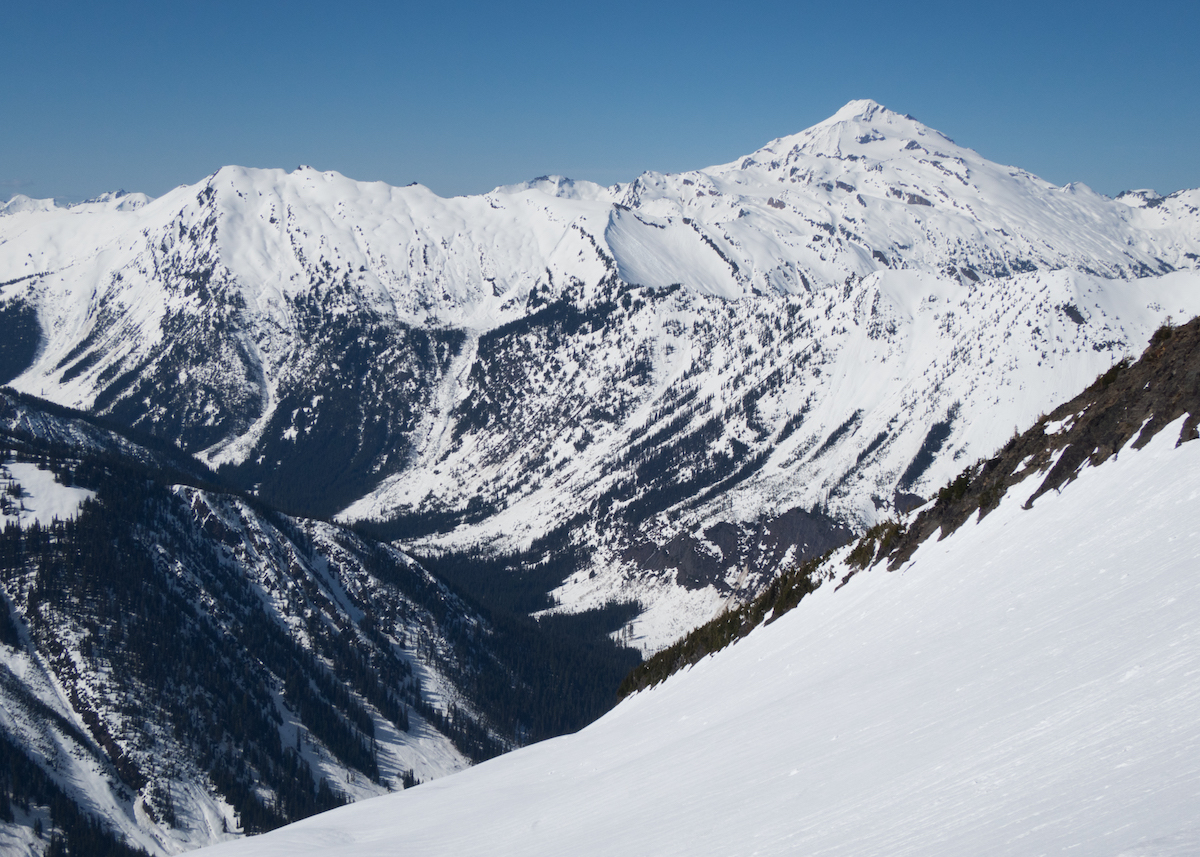
Ruby Mountain stands at the center of the North Cascades Highway corridor, surrounded by taller 8,000-foot peaks that create an unbroken horizon in every direction. The tour begins at the Highway 20 winter gate near Happy Creek, following the boardwalk trail before gaining the ridge that leads up through larch meadows and into open alpine terrain. The north bowl route keeps skiers on manageable terrain while offering flexible descent options, from mellow open slopes to steeper couloir lines.
The approach covers about 2,000 feet of lower-elevation travel where freeze-thaw cycles leave the snow firm and sometimes icy. Ski crampons are essential gear here. Above treeline, conditions improve dramatically as the snow softens through the morning. The descent delivers roughly 4,000 vertical feet of quality spring turns through open meadows and well-spaced trees, with careful navigation needed near the bottom to avoid getting cliffed out in the steeper forest sections.
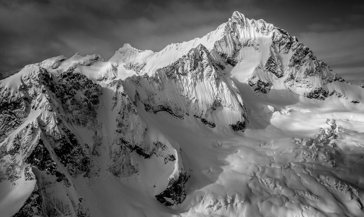
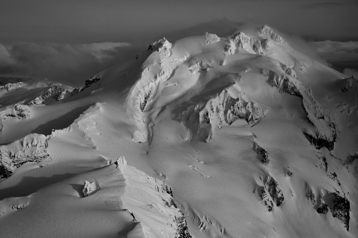
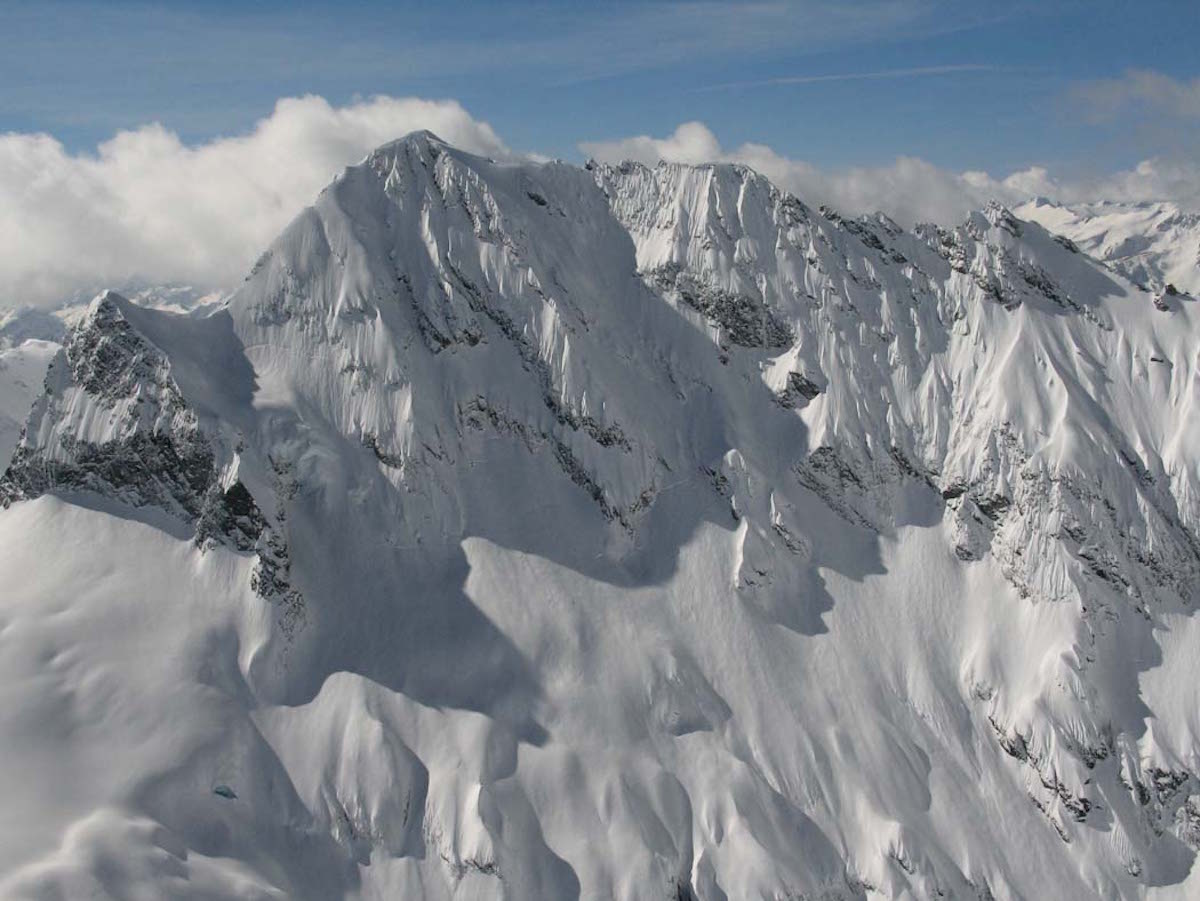
Summit views define this tour. Mount Baker rises to the northwest, Canadian peaks line the northern horizon, and the surrounding North Cascades create that rare sensation of standing in the middle of an endless mountain range. Larch groves above treeline add color and texture to the upper mountain in both spring and fall seasons.
Forecast
Astronomy
Trail Conditions
Scorecard
Safety & Considerations
Today's Hazard
- Strong sun — sunscreen, hat, and sunglasses recommended
Persistent Hazards
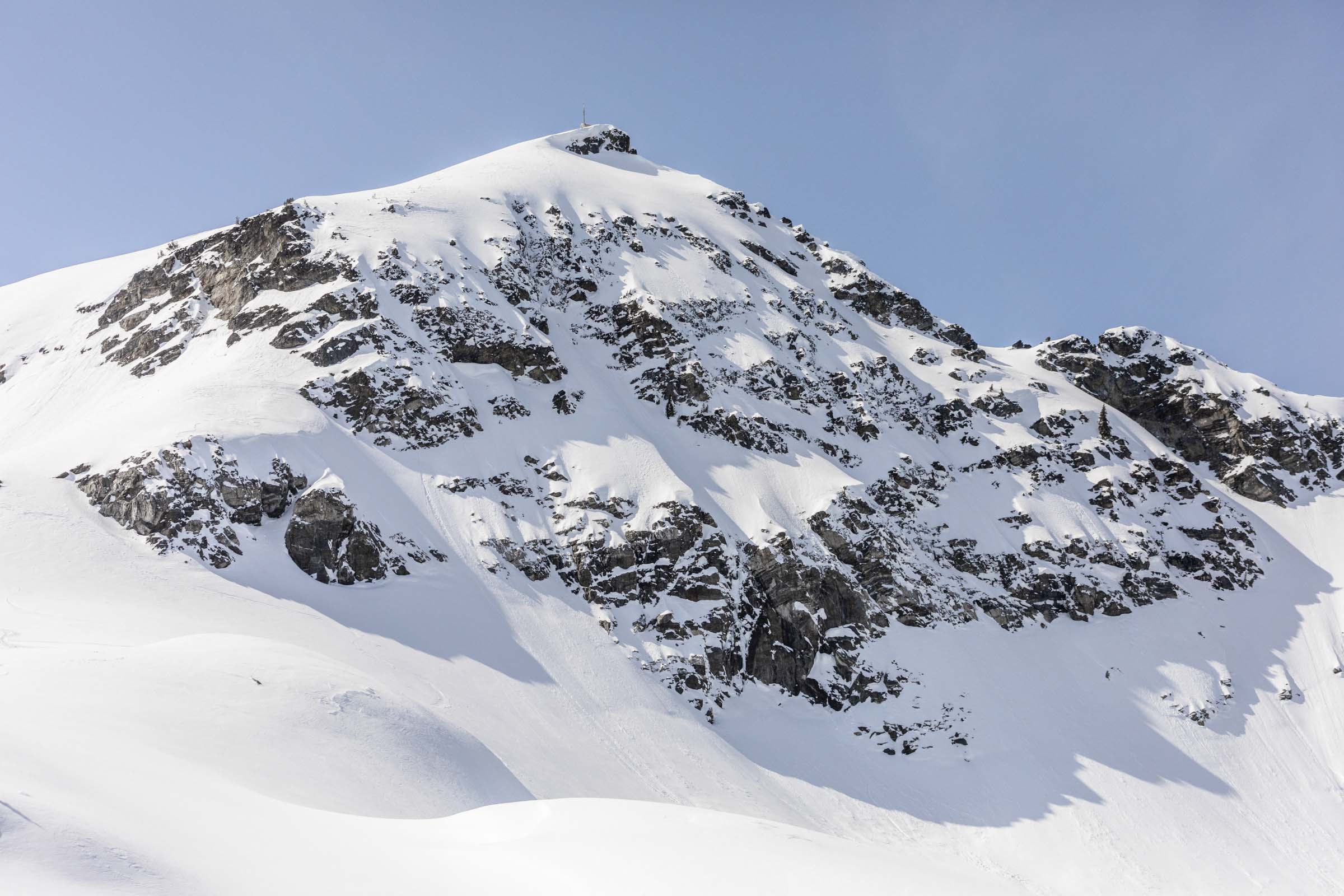
- Cliff bands in lower forest requiring careful route-finding on descent
- Avalanche terrain on steeper aspects off the main ridge
- Icy freeze-thaw conditions on lower approach
- Remote location with limited cell service
Getting There
Park at the pullout just before the Highway 20 winter closure gate, near the Happy Creek trailhead past Diablo Lake. Limited space; arrive early on weekends. No fee required.
Follow the Happy Creek boardwalk trail from the highway, then gain the ridge heading east. The ridge route avoids most avalanche terrain. Lower sections may be icy or bare, requiring trail shoes for the initial road walk and boot packing until consistent snow. Ski crampons are critical for the firm morning snow above treeline. Navigation through trees on the lower descent requires attention to avoid cliff bands.
Start at first light, especially on warm forecast days. The 6.5-hour average ascent means skiers want softening corn snow by the time they reach the summit and begin descending. Late starts risk refreezing or overly wet conditions lower down.
Similar Hikes