Scimitar Glacier Traverse
Stevens Pass AreaBest Mar–May
A multi-day glacier traverse on Glacier Peak's remote north side, with 5,000 feet of fall-line skiing off the Scimitar Glacier.
About This Trail
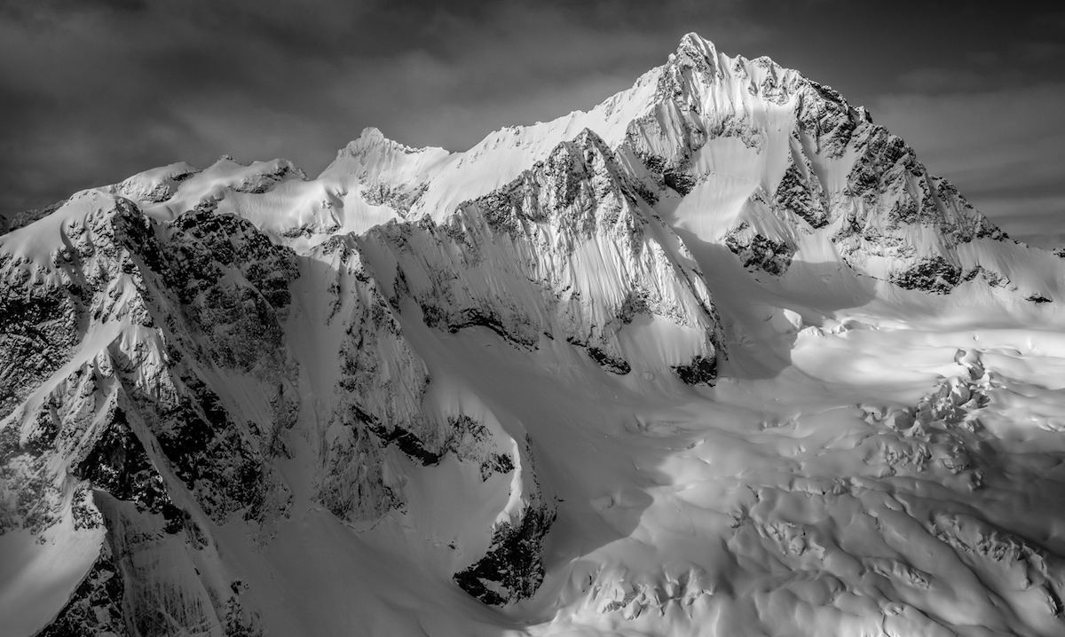
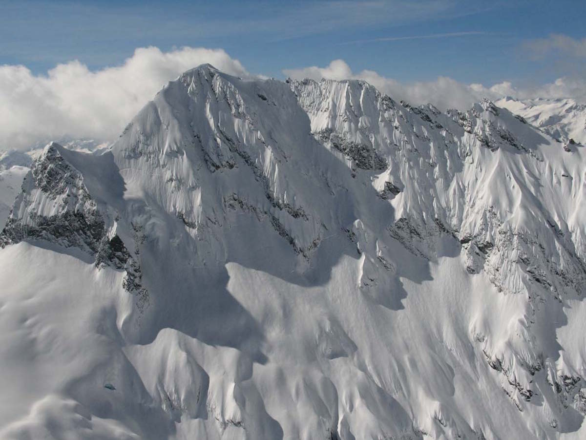
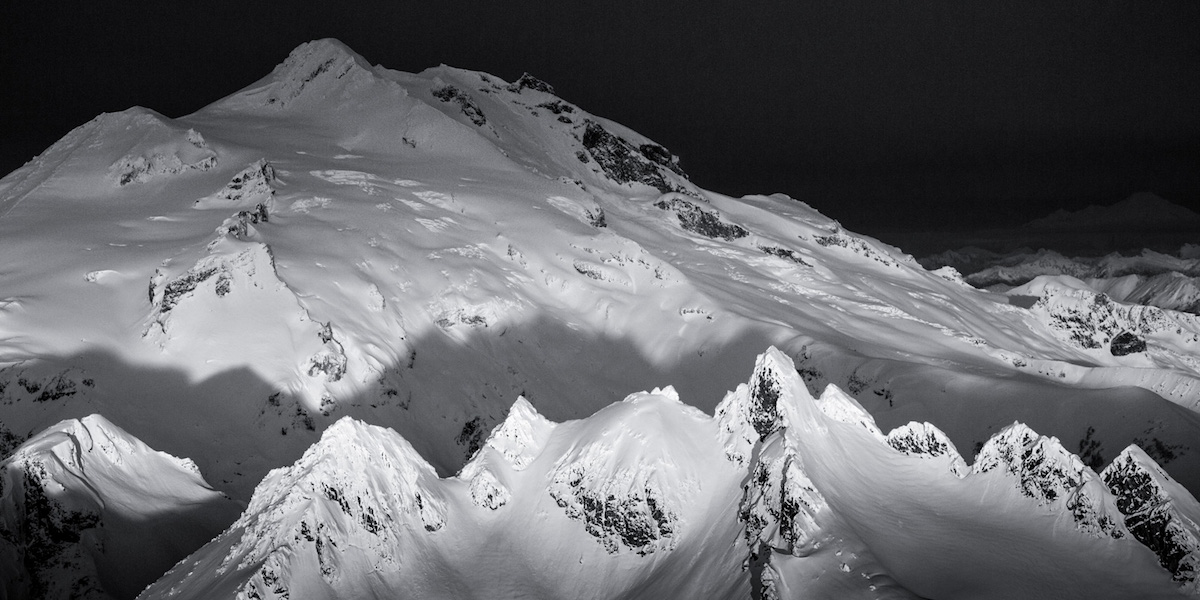
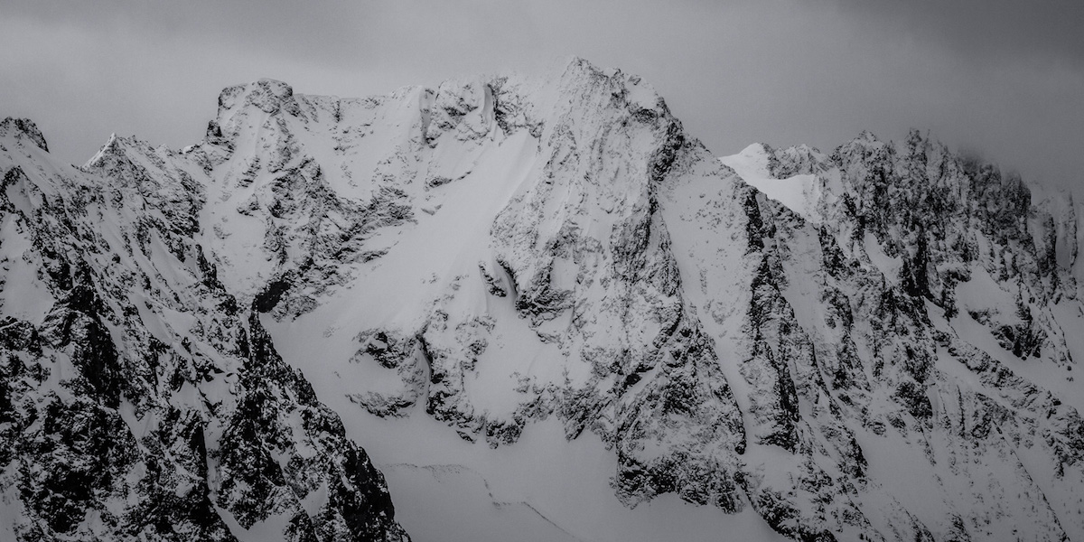
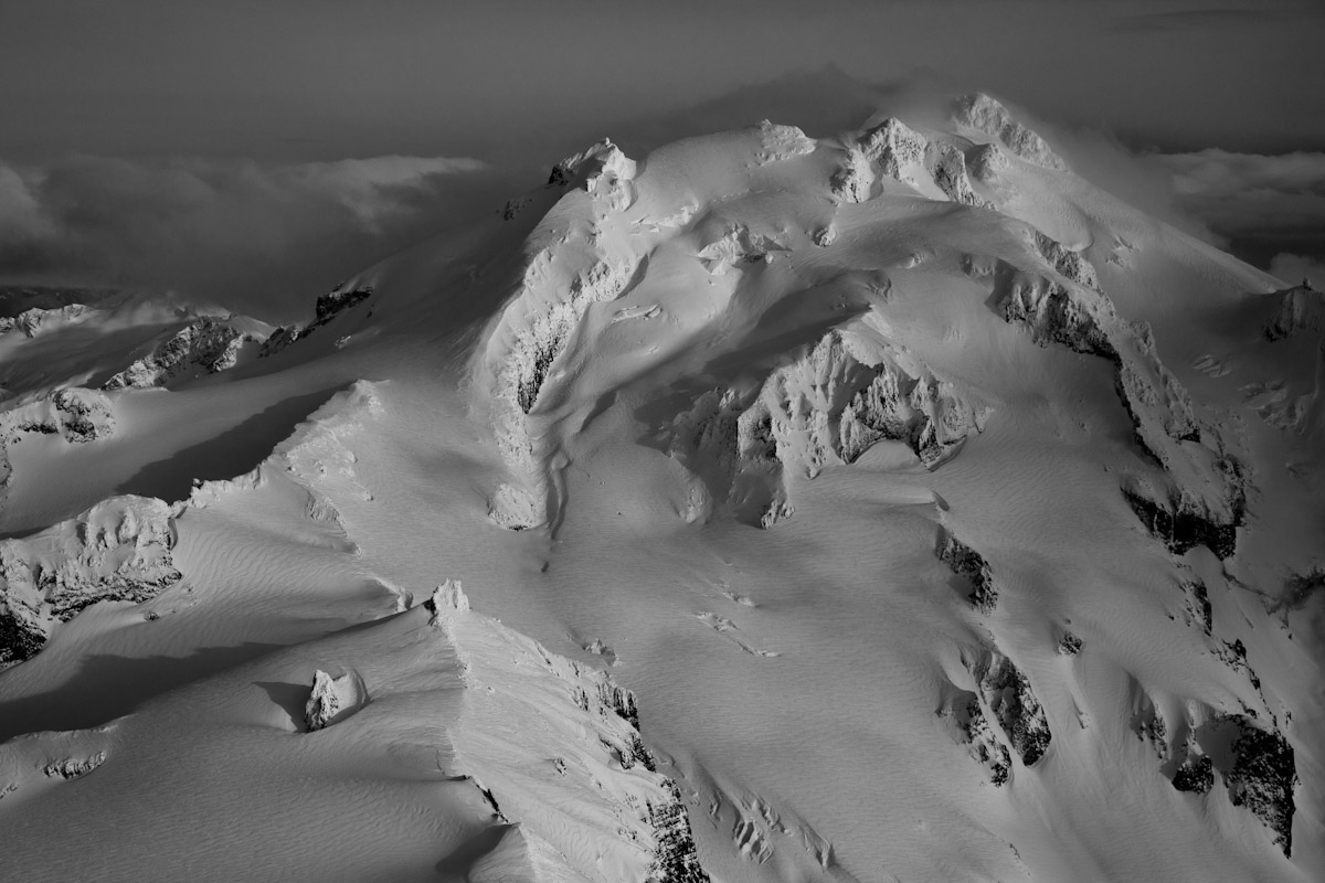
The Scimitar Glacier traverse approaches Glacier Peak from the north, accessing one of the most remote and least-visited glacier systems in the Washington Cascades. This 3-to-5-day ski tour covers roughly 30 miles through old-growth forest, across multiple glaciers, and up to Glacier Peak's 10,541-foot summit. The Scimitar Glacier itself drops 5,000 vertical feet in a direct fall line back to camp, one of the longest continuous ski descents in the North Cascades.
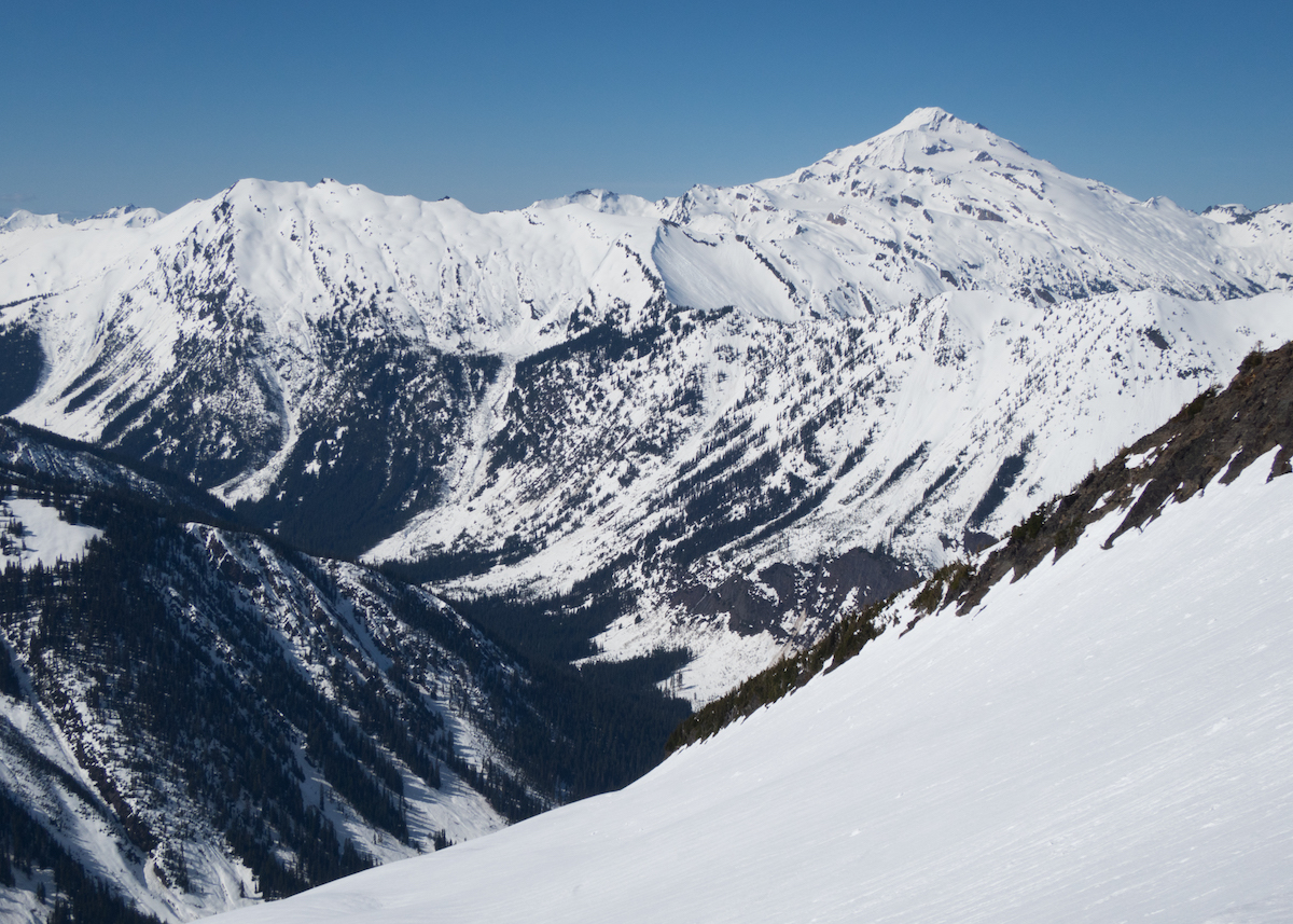
The approach from White Chuck River Road near Darrington starts rough. Hundreds of fallen old-growth trees block the Kennedy Hot Springs Trail, forcing bushwhacking detours through dense forest. Once past Pumice Flats and into the alpine zone, the terrain opens onto the Kennedy, Ermine, Scimitar, and Chocolate Glaciers. Each carries significant crevasse hazards. The north-facing aspects on the Scimitar and Ermine Glaciers hold powder longer than south-facing routes, making this side of the mountain prime for spring skiing when conditions align.
Camp at alpine elevation northwest of the summit sits exposed to extreme weather. Windstorms at 10,000 feet can bury camps and reduce visibility to zero within hours. This is a fully committed wilderness objective with no bailout options, no cell service, and no nearby rescue infrastructure. Rope travel, crevasse rescue skills, and 4-season camping competence are baseline requirements, not extras.
Forecast
Astronomy
Trail Conditions
Scorecard
Safety & Considerations
Persistent Hazards
- Extensive crevasse fields on Kennedy, Ermine, Scimitar, and Chocolate Glaciers
- Extreme alpine weather with rapid onset windstorms and whiteout conditions
- No bailout options or rescue infrastructure for the entire route
- Heavily blowdown-choked approach trail requiring bushwhacking
- Avalanche terrain on all aspects above treeline
- Complete remoteness with no cell service
Getting There
White Chuck River Road near Darrington, Washington. Road is passable to approximately 450m (1,500 ft) elevation depending on snow conditions. Check road status with the Darrington Ranger District before driving out. No facilities at the trailhead.
The Kennedy Hot Springs Trail is the starting corridor but blowdown from old-growth trees makes the established trail difficult to follow. The recommended route diverges toward Pumice Flats via bushwhacking, then drops to Glacier Creek and follows Kennedy Creek drainage upward into the alpine zone. Camp locations exist in the basin northwest of Glacier Peak's summit. GPS and map navigation are critical; trail markers are unreliable.
Budget a full day for the approach through forest blowdown to reach alpine camp. Summit and glacier ski days should start at dawn to catch firm snow on the glaciers. Plan 3 to 5 days total depending on weather windows and number of glacier descents. Early spring offers the best snowpack continuity from trailhead to summit.
Similar Hikes