Dakobed Traverse
Stevens Pass AreaBest May–Jul
A week-long glacier traverse through Washington's most remote volcanic wilderness, linking six glacier systems to the summit of Glacier Peak.
About This Trail
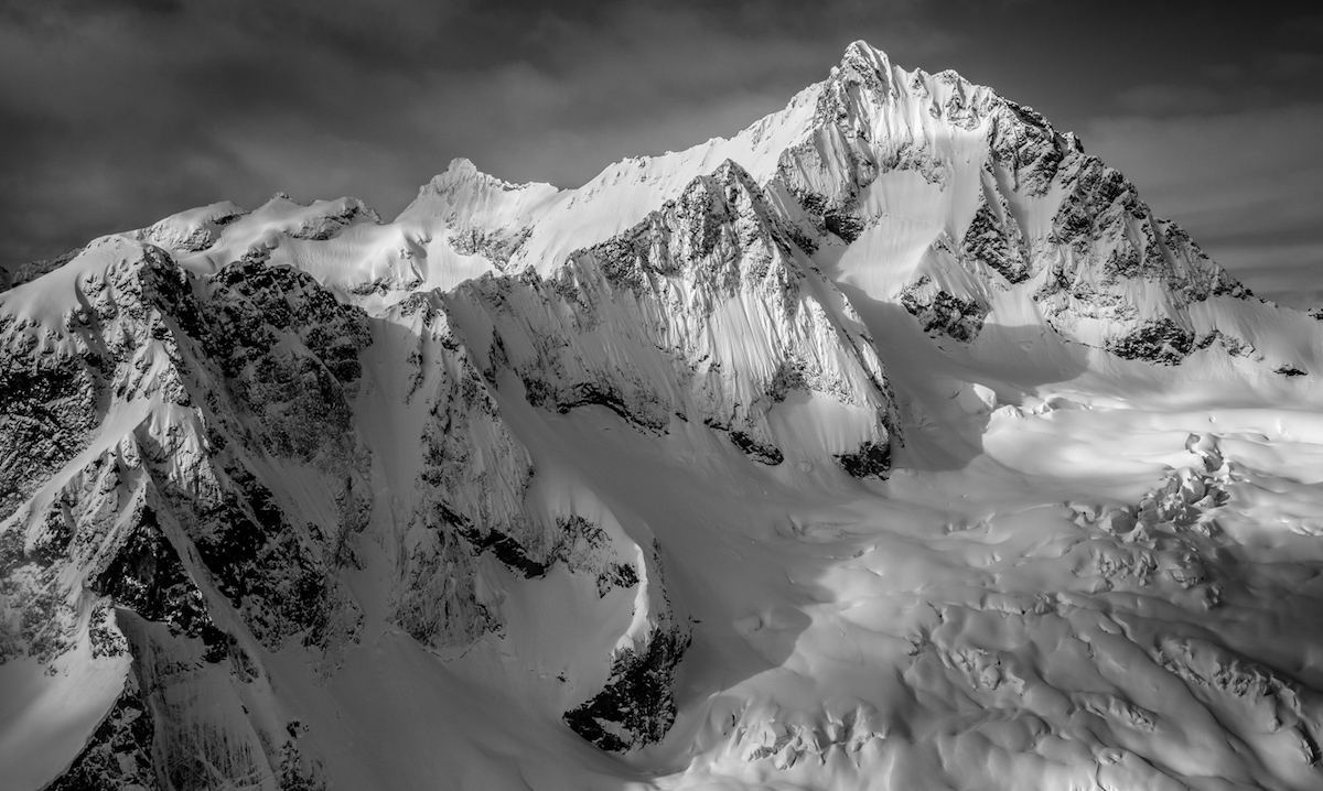
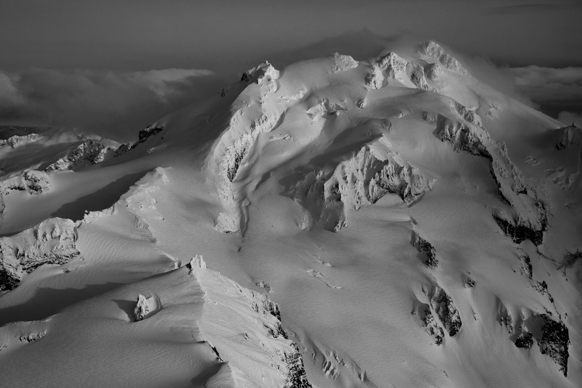
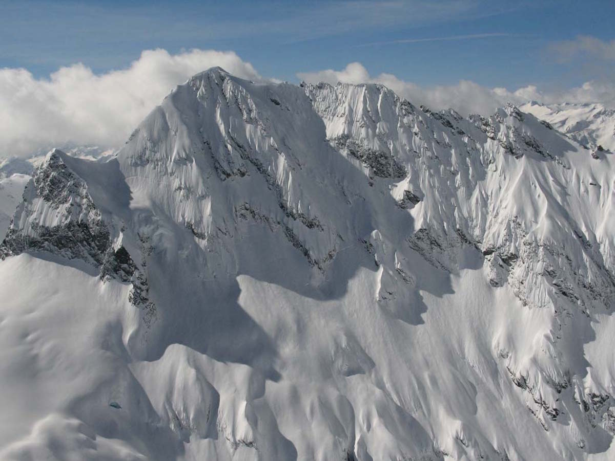
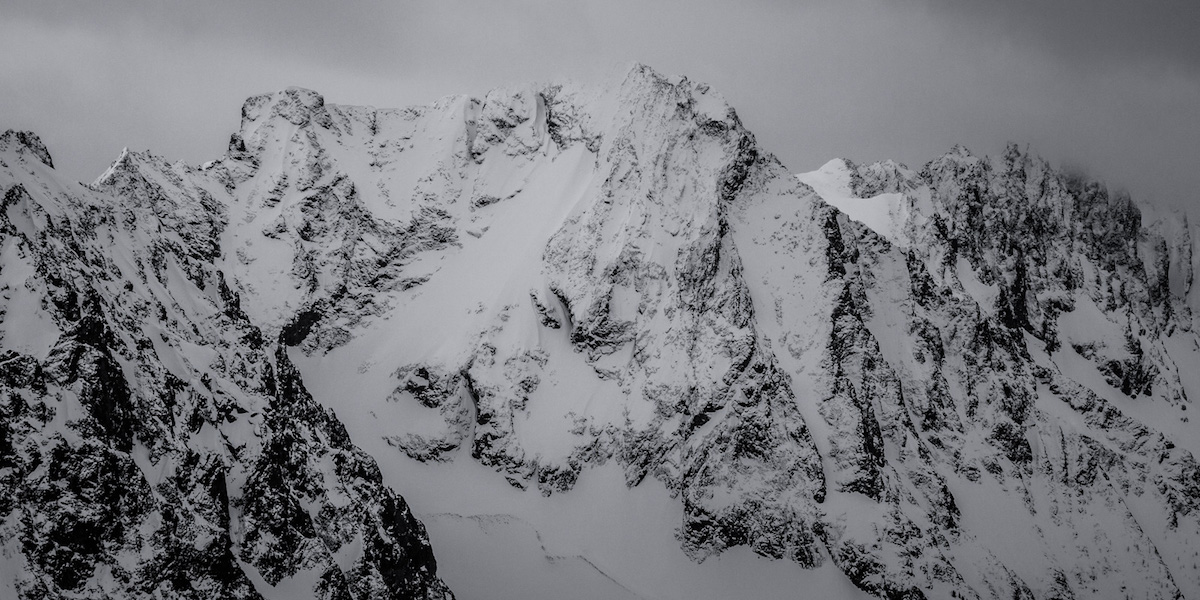
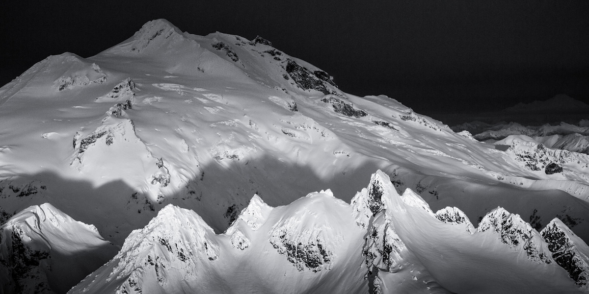
The Dakobed Traverse links the remote glacier systems of the Dakobed Range to the summit of Glacier Peak, Washington's most isolated major volcano. Over seven days, the route crosses the Walrus, Richardson, Pilz, Butterfly, Honeycomb, and Chocolate Glaciers, threading crevasse fields, knife-edge ridges, and steep couloirs between brief camps on glacial benches. This is deep wilderness ski mountaineering at its most committing.
The route begins at the White River Trailhead off Forest Road 6400, climbing through forest and avalanche paths to Boulder Pass before entering sustained glacier terrain. Each day brings a new glacier crossing with its own crevasse hazards and route-finding challenges. The crux traverse from Butterfly Glacier to the Ten Peak area involves a grueling mile-and-a-half section of mixed dirt, rock, creek crossings, and vegetation between skiable snow patches. One wrong step near the steep-walled creek drainages puts you above concealed waterfalls.
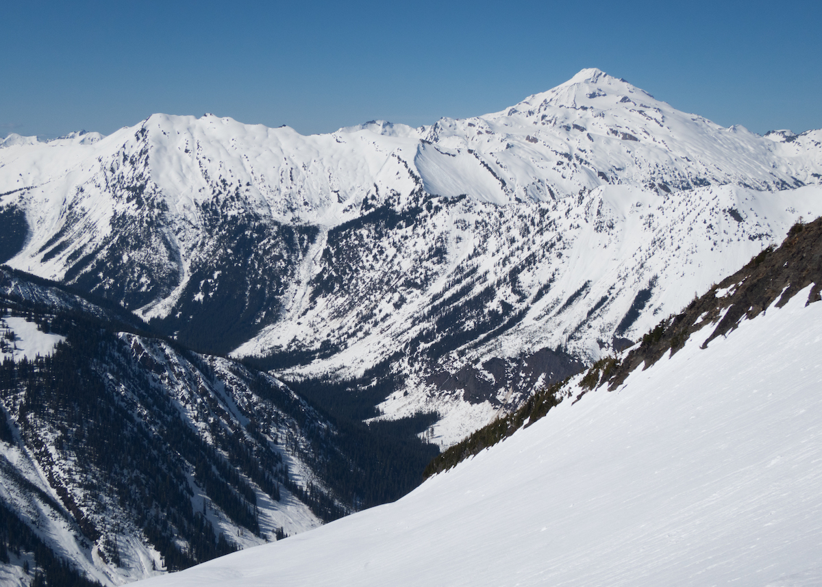
Glacier Peak itself stands at the end of the traverse as the culminating objective, but the real substance of this trip is the traverse itself. Tiger-striped granite walls, massive serac bands, corn snow descents of 2,000 feet or more, and views spanning Baker to Rainier across the full North Cascades make this one of the finest multi-day ski traverses in the lower 48. Parties need full glacier rescue gear, crampon proficiency, and self-arrest skills. There is no bailout once committed to the interior glacier sections.
Forecast
Astronomy
Trail Conditions
Scorecard
Safety & Considerations
Persistent Hazards
- Crevasse fields on six active glaciers
- Serac collapse zones
- Bergshrund crossings requiring self-arrest capability
- Concealed waterfalls in steep creek drainages
- Cliff bands requiring rock downclimbing
- Swift creek crossings during snowmelt
- No bailout options from interior glacier sections
- Sustained mosquito pressure at lower elevations
Getting There
White River Trailhead, accessed via Forest Road 6400 on the east side of the Cascade crest. Road condition varies by season and may require high clearance. No services at the trailhead.
From the White River Trailhead, hike through forest and avalanche terrain to Boulder Pass over the first two days. Boulder Creek crossings can run swift during snowmelt. The route is unmarked through glacier terrain and requires constant navigation. Plan on 30+ miles of approach before reaching Glacier Peak.
Pre-dawn starts are critical for firm glacier crossings and safe crevasse navigation. Afternoon sun softens slopes into corn but also destabilizes seracs. Plan each day around the freeze-thaw cycle.
Similar Hikes