Sauk River to Highway 2
Stevens Pass AreaBest Apr–May
Six days and 50 miles through Glacier Peak Wilderness, linking the Sauk River drainage to Stevens Pass on skis.
About This Trail
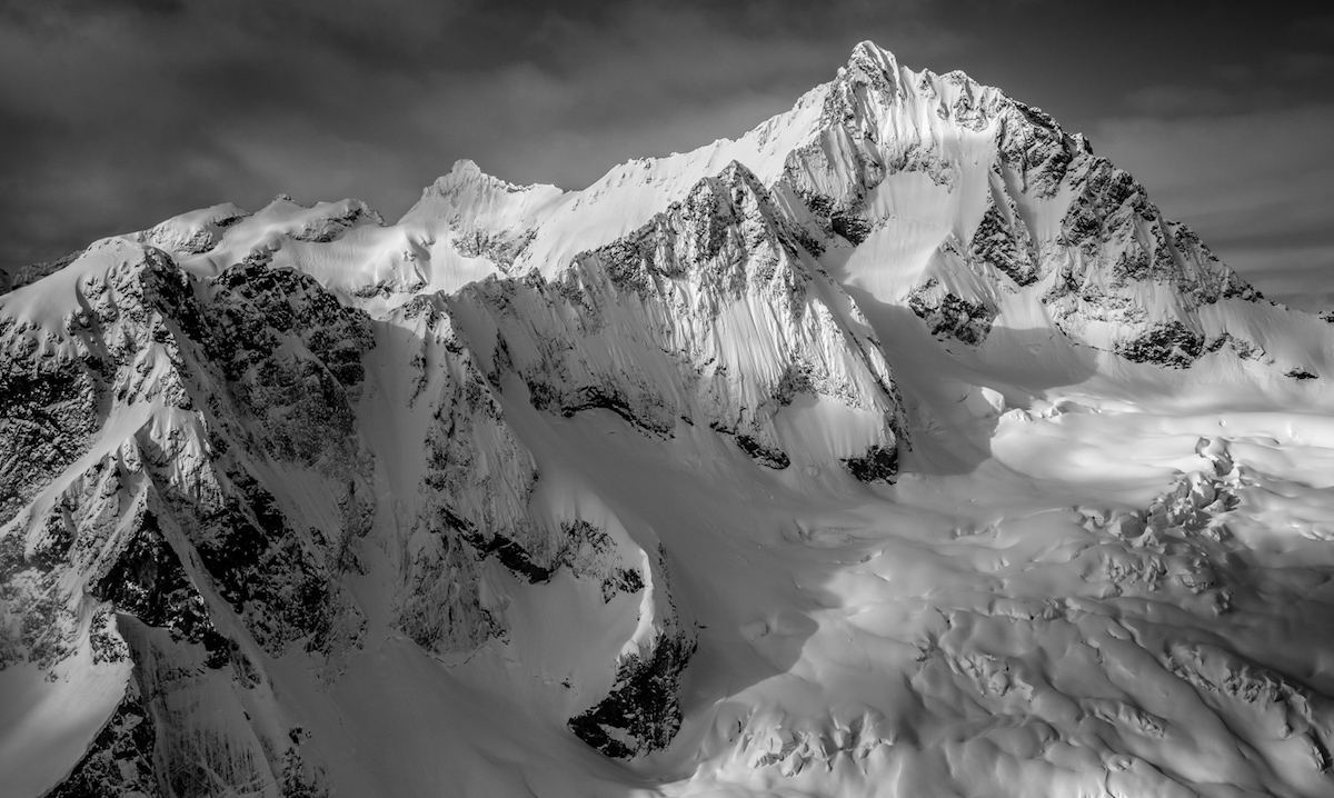
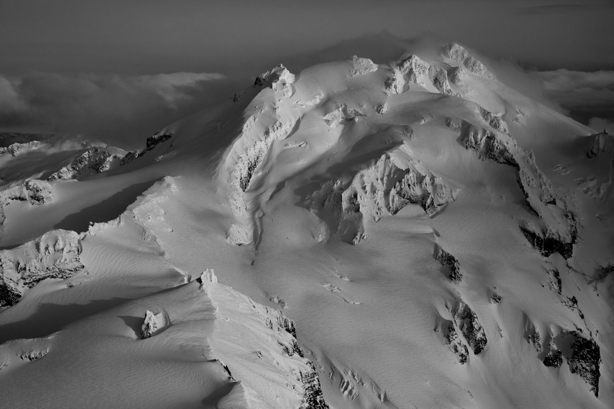
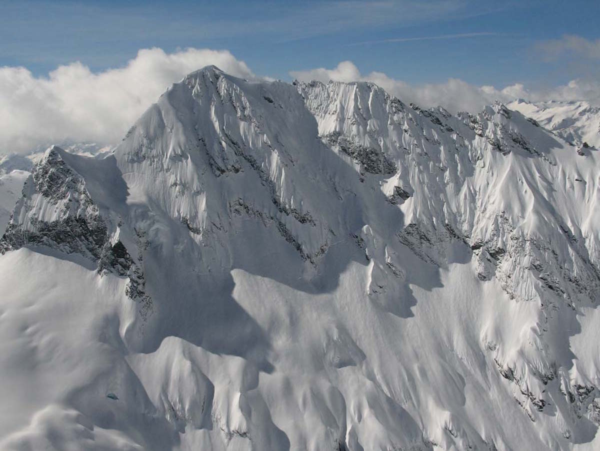
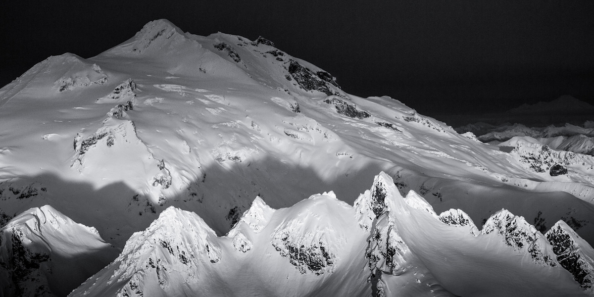
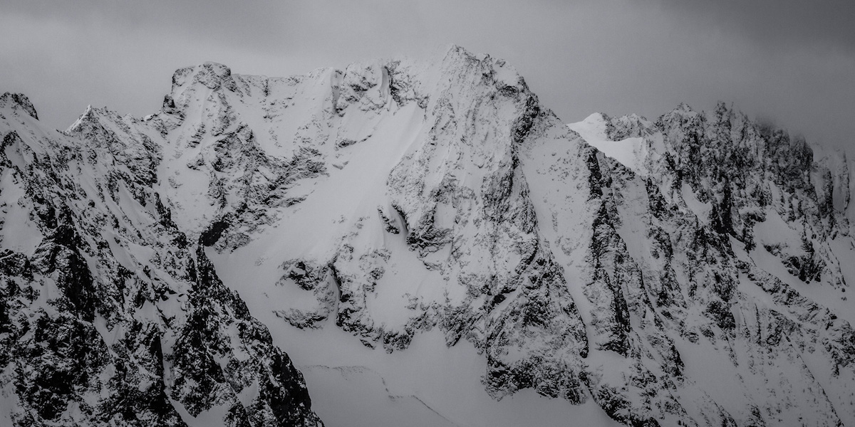
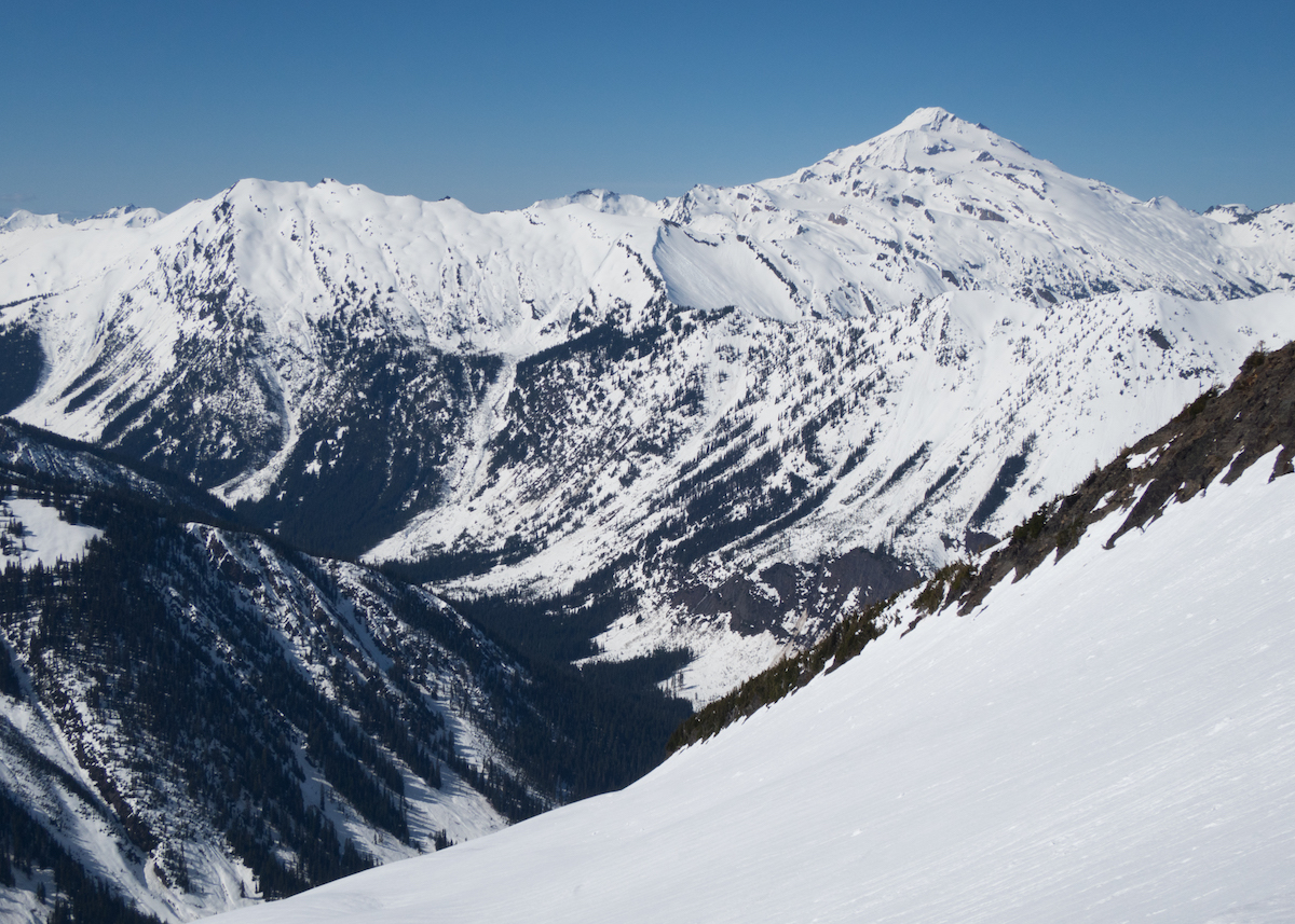
This six-day traverse covers over 50 miles from the North Fork of the Sauk River to Stevens Pass, threading through Glacier Peak Wilderness along a route that loosely follows the Pacific Crest Trail. It connects Kyle Miller's 14 Lakes Traverse to the Suiattle Traverse, forming the middle link in the American Alps chain. The route climbs out of old-growth forest into the Poet Range, crosses White Pass, tags Indian Head Peak with its 3,500-foot southeast face descent, and pushes through the remote Whittier Valley before reaching Highway 2.
Route-finding is the defining challenge. Cliff bands, avalanche paths, and dense forest force constant decision-making about line selection, and the consequences of poor choices compound over six days with heavy packs. Creek crossings in the Whittier Valley add another layer of uncertainty, especially as avalanche bridges deteriorate through the spring season. The terrain rewards skiers who read snow and terrain instinctively.
Glacier Peak and the Dakobed Range fill the northern horizon for most of the traverse, while the Monte Cristo peaks rise to the west. The valleys here see almost no human traffic, even in summer. On skis in spring, expect to see no one else for the duration. This is among the most remote and committing ski traverses in the Lower 48, demanding strong backcountry judgment and the fitness to sustain multi-thousand-foot days back to back.
Forecast
Astronomy
Trail Conditions
Scorecard
Safety & Considerations
Persistent Hazards
- Avalanche terrain throughout with multiple slide paths crossing the route
- Cliff bands requiring careful route-finding to avoid dead ends
- Creek crossings on deteriorating avalanche bridges
- Extremely remote with no bailout for days at a stretch
- Heavy pack weight for six-day self-support adds fatigue risk
Getting There
Starts at the North Fork Sauk River trailhead off Mountain Loop Highway. The access road is notorious for washouts; check conditions before driving. Exit at Stevens Pass on Highway 2. Requires a long vehicle shuttle between start and finish.
From the North Fork Sauk trailhead, skin through old-growth forest into the alpine. The route traverses the Poet Range heading southeast, crosses White Pass, descends Indian Head Peak, passes through Whittier Valley, and follows the PCT corridor south to Stevens Pass. Carry six days of food and fuel; no resupply points exist along the route.
Requires a multi-day stable weather window in late April or early May. Start early each day to maximize firm snow on steep terrain. The Whittier Valley section benefits from afternoon warmth for creek crossings but the alpine sections demand pre-dawn departures.
Similar Hikes