Cape Flattery
Olympic PeninsulaBest Year-round
Stand at the northwesternmost point of the contiguous United States and watch Pacific waves crash against offshore rocks.
About This Trail
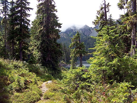
A short, graveled path through coastal forest leads to three viewing platforms perched above the Pacific Ocean. Each platform offers a different angle on the sea caves, surging whitewater, and Tatoosh Island with its lighthouse. On clear days, the views extend to the open ocean. Whales, sea otters, and seabirds frequent the waters below.
The trail sits on Makah Reservation land and requires a Makah Recreation Pass, available in Neah Bay or online. Boardwalks span the boggy sections, making this accessible to most hikers. The drive from Port Angeles takes about two hours along Highway 112, winding through the northern edge of the Olympic Peninsula.
This works well as a standalone stop or combined with a trip to Shi Shi Beach, which shares the same recreation pass. The Makah Museum in Neah Bay is worth a visit on the way through town.
Astronomy
Trail Conditions
Scorecard
Safety & Considerations
Persistent Hazards
- Exposed viewing platforms above steep cliffs: stay behind railings
- Trail can be muddy and slippery in wet weather
Getting There
Multiple parking areas near the trailhead accommodate several dozen vehicles total, including newer overflow lots. Pit toilet at trailhead.
From Port Angeles, take Highway 101 west 5 miles, then Highway 112 west 64 miles to Neah Bay. Follow Bayview Avenue, Fort Street, Third Street, and Cape Flattery Road 7.6 miles to the parking area. Makah Recreation Pass required. Purchase at the Neah Bay visitors center or online.
No timing constraints. The walk takes 30-60 minutes. Pairs well with a Neah Bay visit and the Makah Museum.
Similar Hikes