Yakima Skyline Trail
AQI 62 · moderateCentral WashingtonBest Mar–Jun
Canyon rim walking through peak wildflower season with bighorn sheep and sweeping Yakima River views.
About This Trail
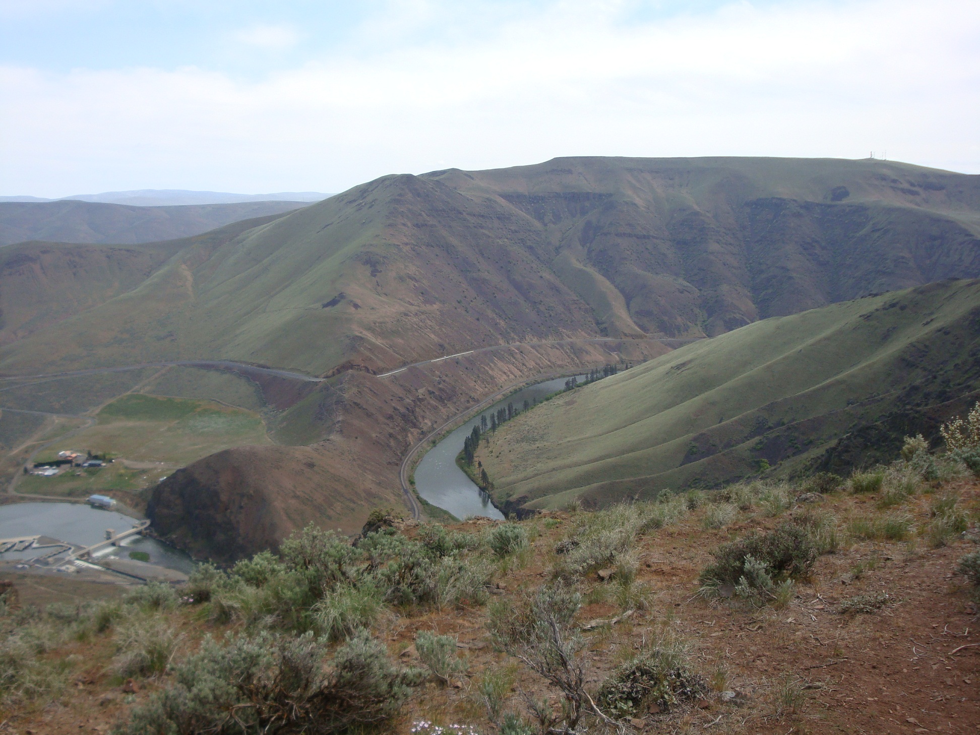
The Yakima Skyline Trail follows the rim of Yakima Canyon through some of the finest wildflower country in Central Washington. From the trailhead off Buffalo Road, you walk a short stretch of road past a chained gate before gaining the ridge proper, where fenceposts mark your path along the canyon edge. Below, the Yakima River carves through basalt walls. Above, bighorn sheep pick their way across the slopes and pelicans ride thermals up from the water.
Spring is the main event here. Balsamroot carpets the hillsides in gold, and if your timing is right you will find bitterroot, larkspur, buckwheat, and clover filling in every gap. The trail climbs in a staircase pattern along the rim, never quite vertical but steep enough that you want to keep kids close to the edge. An old hitching post at the 2-mile mark makes a solid turnaround, though stronger hikers push on to Gracie Point for a full 360-degree panorama that takes in Roza Dam and the irrigation country beyond.
The access road is rough gravel and gets rutted after wet weather. Drive past the gate to the actual trailhead lot rather than parking at the first wide spot. There are no facilities out here, so come prepared. The area dries out early in the season, making this a reliable March-through-May option when higher trails are still buried.
Astronomy
Trail Conditions
“Don't park at the gate, keep going to the trailhead lot!”
Last report: Apr 18, 2026
Scorecard
Safety & Considerations
Today's Hazard
- Strong sun — sunscreen, hat, and sunglasses recommended; water reflection adds glare near the lake
Persistent Hazards
- canyon rim exposure
- rough access road
Getting There
Drive past the chained gate on Buffalo Road to the actual trailhead lot. Do not park at the gate. Road is rough gravel, passable for most vehicles in dry conditions. Room for several cars at the widening. No facilities.
From the trailhead lot, walk less than three-quarters of a mile on the road past the gate to reach the unmarked trail. The ridge trail climbs in a staircase pattern along the canyon rim. The old hitching post at 2 miles is a natural turnaround. Gracie Point adds more distance and elevation for a bigger day.
Morning starts avoid the midday heat that builds quickly on this exposed ridge. Spring weekends draw crowds, so early arrival also helps with parking.
Recent Reports
Trail: Yakima Skyline Trail (extended to Gracie Point) Roundtrip Distance: ~10. 4 miles (to Gracie Point and back) Elevation Gain: ~2,600 feet Twelve members of Yakima Valley Trekkers made the full push to Gracie Point today and were rewarded with one of the better days this trail has offered in a while — wildflowers, sweeping Cascade views, and a surprisingly quiet trail despite a packed parking lot.
Don't park at the gate, keep going to the trailhead lot! The road was passable but a little rough.
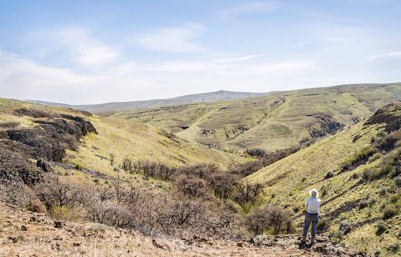
Gracie Point is a prominence along a stretch of the Yakima Rim Trail not as often visited as the segment to the south. You can expect sweeping 360 views on a clear day, with a trail that is easy to access and less crowded than the more popular section.
Similar Hikes


.jpg)