White Bluffs - North
AQI 60 · moderateCentral WashingtonBest Mar–May, Oct–Nov
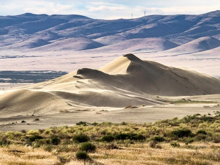
White sand dunes and ancient river bluffs along the last free-flowing stretch of the Columbia.
About This Trail
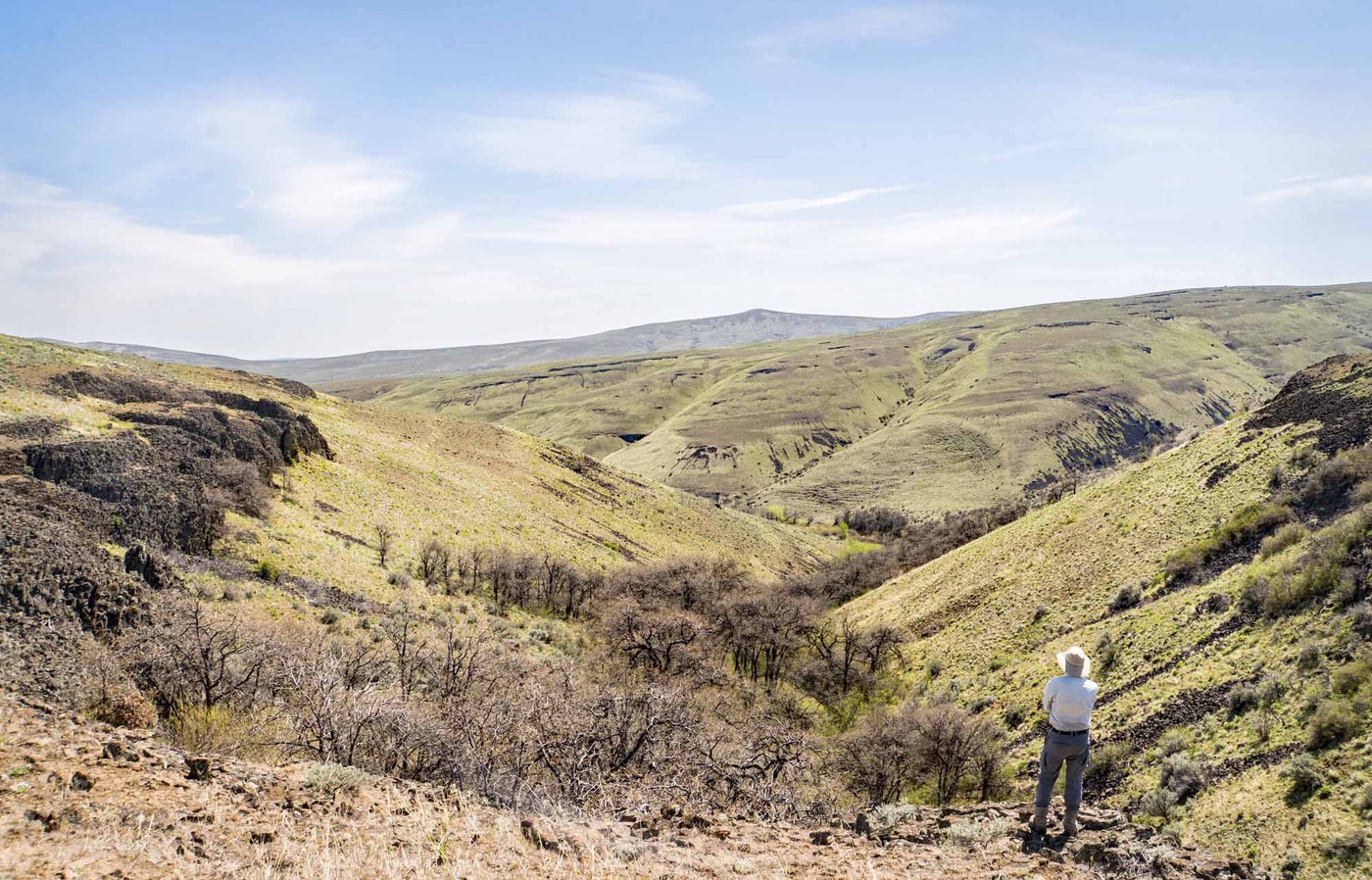
The trail follows the Columbia River northward through shrub steppe and sand dunes within the Hanford Reach National Monument. The landscape here looks unlike anywhere else in Washington: bright white cliffs of the Ringold Formation rise above the river while inland dunes shimmer with embedded granite crystals. The route passes through two major dune formations, each offering elevated views of the river corridor and surrounding desert.
The first dune at roughly 2 miles makes a natural turnaround for a shorter outing. More ambitious hikers continue another 1.5 miles to a second, larger dune. Beyond that, the trail fades into open desert. The terrain underfoot alternates between packed dirt and deep sand. Cryptobiotic soil crusts cover portions of the dune areas. These fragile biological formations take decades to regrow, so staying on established paths matters here.
This stretch of the Columbia runs free and undammed, one of the last such reaches in the river system. Eagles, osprey, and other raptors patrol the bluffs year-round. Summer temperatures regularly exceed 38 C with zero shade, making fall through spring the practical hiking season. Carry significantly more water than the distance suggests.
Astronomy
Trail Conditions
“We took the long way to Yakima and did the white bluff trail in the Hanford Reach National Monument.”
Last report: Apr 24, 2026
Scorecard
Safety & Considerations
Today's Hazard
- Strong sun — sunscreen, hat, and sunglasses recommended; water reflection adds glare near the lake
Persistent Hazards
- extreme heat exposure (summer)
- no water or shade on trail
- cryptobiotic soil (stay on trail)
- rattlesnakes
- deep sand sections
Getting There
Small dirt turnout on the right side of the road, just before the boat launch. No signage at the trailhead. Look for a single fence post with a "no horses" graphic. No restrooms. The gravel access road off Highway 24 is in good condition and passable in a standard sedan.
From Highway 24, cross the Vernita Bridge and continue 19 miles. Turn right onto the gravel wildlife refuge road, drive 4 miles, then turn right downhill 1.3 miles to the turnout. The trailhead starts at the fence post on the north side. Head north along the unsigned footpath. The first dune at 2 miles makes a good shorter destination.
Start at dawn in warm months. There is no shade on this entire route. Spring and fall provide comfortable temperatures. Winter visits offer solitude and pleasant hiking weather.
Recent Reports
We took the long way to Yakima and did the white bluff trail in the Hanford Reach National Monument. We came here because there is no shooting this time of the year (I hate hearing gun shots when hiking).
What a crazy place -- to be walking on land not converted to agriculture high above an undammed stretch of the Columbia, yet look across and see those gigantic buildings left over from developing the devastating Nagasaki and Hiroshima atomic bombs. We went as far as the first dune, and it is HUGE.
Trail and road in good condition, beautiful this time of year. We saw one other party, otherwise no one else on the trail.
Similar Hikes


.jpg)