Three Corner Rock
Southwest WashingtonBest May–Oct
PCT summit with five-volcano panorama, beargrass meadows, and a scramble to a former fire lookout.
About This Trail
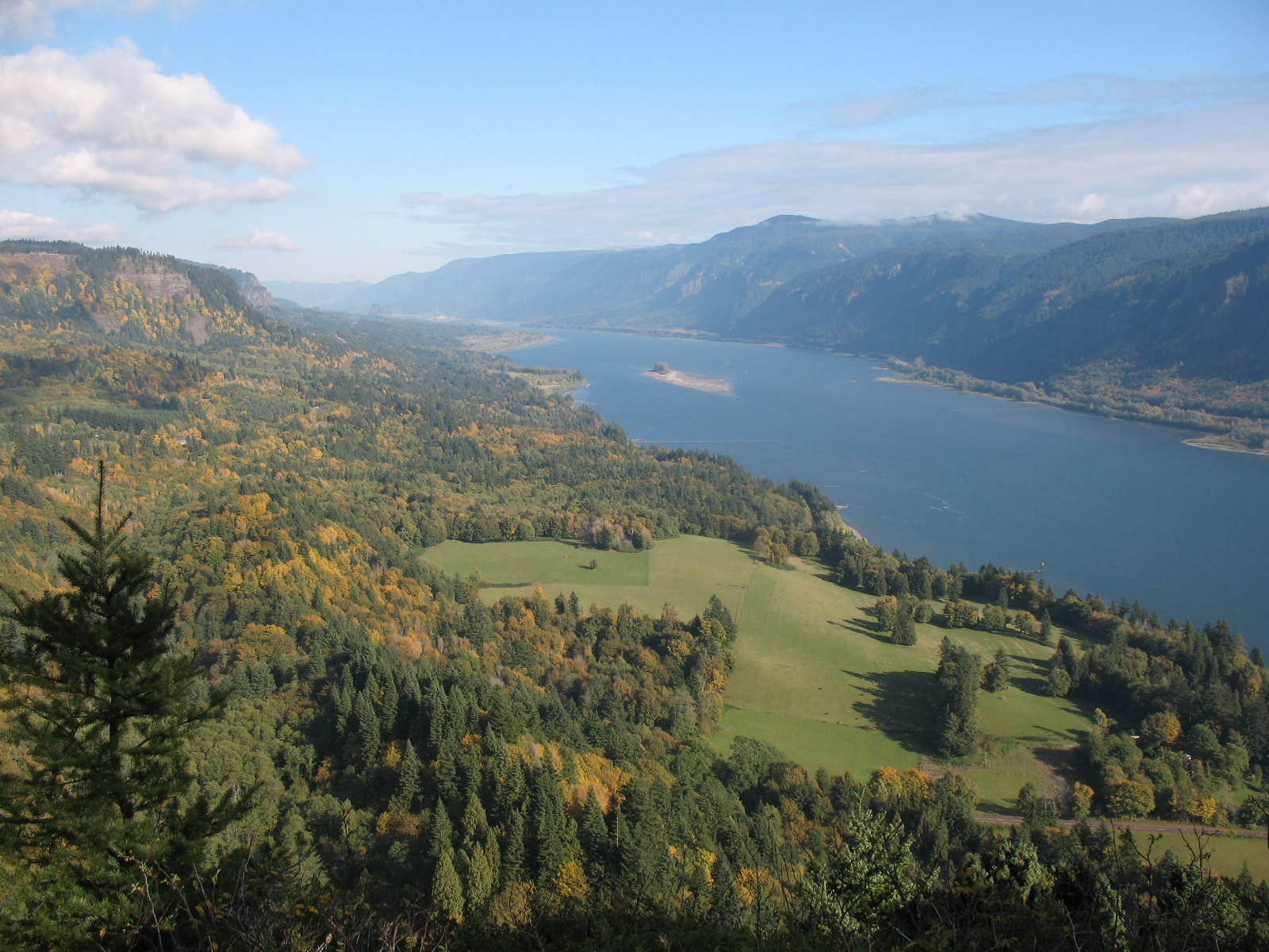
Three Corner Rock sits at 3,550 feet on the Pacific Crest Trail north of the Columbia River Gorge, offering a 360-degree panorama of five Cascade volcanoes: Hood, Jefferson, St. Helens, Rainier, and Adams. The former fire lookout site still has concrete steps leading to the summit pinnacle, which requires a short scramble to top out.
The standard approach follows the PCT south from Rock Creek Pass through mountain hemlock and fir forest. The trail rolls gently through the woods before opening into beargrass meadows that bloom spectacularly in late June and July. Huckleberries ripen along the trail in late summer. The forest section stays quiet and shaded, making the summit reveal all the more dramatic.
Access requires navigating a network of DNR forest roads that can be confusing without careful attention to directions. Road 2000 provides the main access, with a turn onto unmarked CG 2090 for the shorter trailhead. The western trailhead on W-2000 Road has a closure, so plan to approach from the east via the PCT or use CG-1440 Road as an alternate. This is a rewarding destination that feels remote without requiring big mileage.
Forecast
Astronomy
Trail Conditions
“The meteorologists forecast clearing so we set out to hike to Three Corner Rock to see the beargrass bloom.”
Last report: Jul 4, 2025
Scorecard
Safety & Considerations
Today's Hazard
- Strong sun — sunscreen, hat, and sunglasses recommended
Persistent Hazards
- Short scramble to summit pinnacle
- Confusing forest road network to trailhead
- Western trailhead closure on W-2000 Road
Getting There
Small pullout at the PCT crossing on Road CG 2000 (Rock Creek Pass) for the longer approach, or drive further on CG 2090 for the shorter trailhead. Discover Pass required. No facilities at either trailhead.
From Rock Creek Pass, follow the PCT south. The trail rolls through forest before opening into meadows near the summit. For the summit itself, follow concrete steps from the old lookout foundation, then scramble the final rock. The western trailhead on W-2000 is closed; use the PCT from Rock Creek Pass or approach via CG-1440 Road.
Clear weather is essential for the five-volcano payoff. Morning starts avoid afternoon clouds that build over the Cascades. The shorter approach takes 2 to 3 hours round trip; the full PCT route from Rock Creek Pass takes 4 to 5 hours.
Recent Reports
Happy Fourth All!! Red Huckleberries, Blue Berries, and plenty of White (and other) flowers🇺🇸🇺🇸 Enjoying the out-of-doors and our flag are for all to enjoy!
The meteorologists forecast clearing so we set out to hike to Three Corner Rock to see the beargrass bloom. We started the hike at the Rock Creek Pass trailhead, where we experienced light showers and heavy moisture dripping from the trees.
We hiked to 3 Corner Rock via the PCT before today's work party. We successfully fought off the temptation to honk our horn as we passed the WTA camp location, on our way to our trailhead.
Similar Hikes