Yacolt Burn State Forest - Silver Shadow Trail
Southwest WashingtonBest May–Oct
Forest connector trail in the shadow of Silver Star Mountain, through recovering Yacolt Burn timber with wildflowers and loop options.
About This Trail
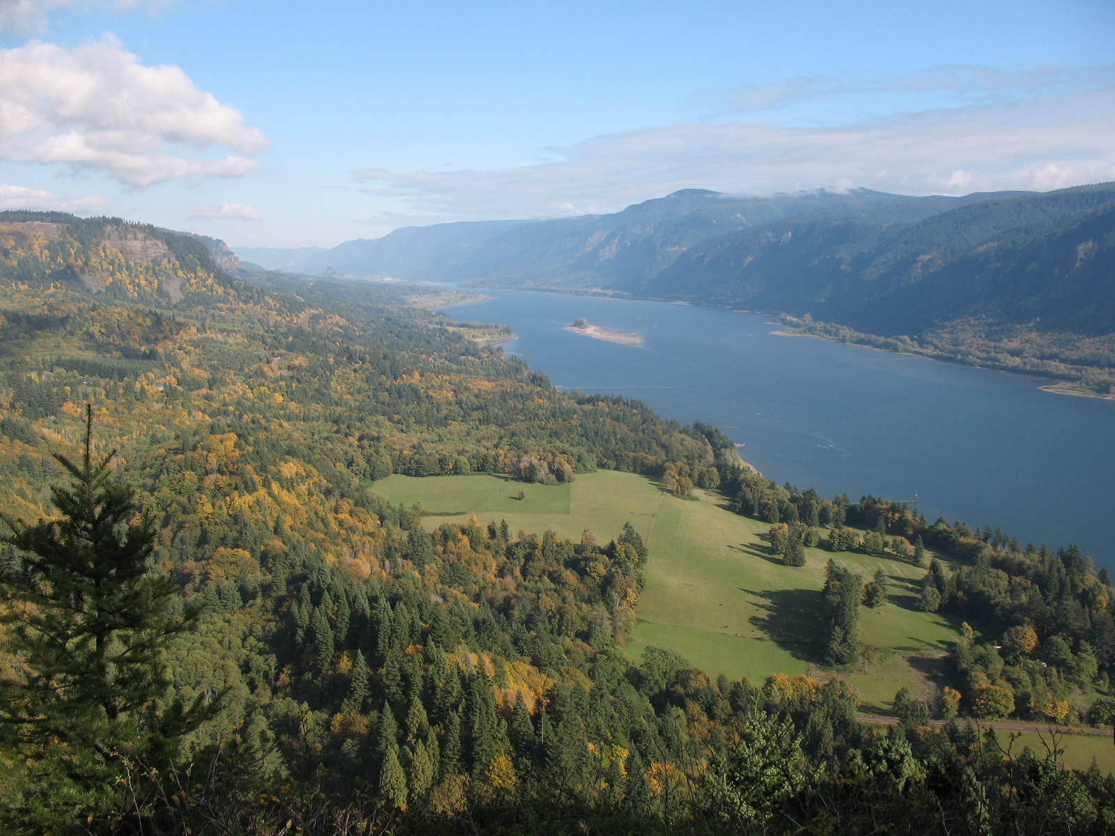
Silver Shadow Trail is a connector route through the Yacolt Burn State Forest, named for the fact that it sits in the shadow of Silver Star Mountain to the north. The Yacolt Burn, one of the largest fires in Washington history back in 1902, scorched this whole area. Over a century later, the forest has come back in a thick stand of Douglas fir and western red cedar with a carpet of salal, Oregon grape, and seasonal wildflowers. Foxglove lines the trail in early summer.
The trail itself starts from the Tarbell Trailhead. You walk 1.2 miles on the Tarbell Trail before reaching the signed junction for Silver Shadow. From there, the connector runs about 2.8 miles through gentle terrain with only 87 feet of elevation gain. You can turn it into a 5-mile loop by linking back with the Tarbell Trail, or combine it with the Appaloosa Trail for a longer day. Ambitious hikers have strung together 16-plus mile loops through this trail system.
You will need a Discover Pass for the trailhead parking. The drive in follows gravel forest roads for the last stretch, so give yourself a few extra minutes. The area sees very little traffic, which makes it a good pick when you want forest walking without the crowds.
Forecast
Astronomy
Trail Conditions
“4 miles and 3242 feet of elevation gain by Gaia's count.”
Last report: Jun 15, 2023
Scorecard
Safety & Considerations
Today's Hazard
- Strong sun — sunscreen, hat, and sunglasses recommended
Persistent Hazards
- Gravel forest road access (L-1100)
- Mud and intermittent snow in winter months
Getting There
Discover Pass required. Park at the Tarbell Trailhead parking area. Small lot but rarely full given low visitor traffic. Trailhead has a toilet.
From I-5 exit 11, head east on SR 502 then north on SR 503. Past Lewisville County Park, turn right at Rock Creek Road and follow Lucia Falls Road, Sunset Falls Road, and Dole Valley Road. Take the L-1100 gravel road to the Tarbell Trailhead.
Start early if planning a longer loop. For the Silver Shadow connector alone, any time of day works. Wildflowers peak in June.
Recent Reports
I did a big loop here yesterday -- 16. 4 miles and 3242 feet of elevation gain by Gaia's count.
We hiked a loop to visit Hidden Falls starting at the Tarbell Picnic Area using the Tarbell Trail, Appaloosa Trail, road L1120 and the Silver Shadow Trail to complete the circuit. We began around 8:40am and were the first vehicle in the smallish lot.
Similar Hikes