Yacolt Burn State Forest - Sword Fern Trail
Southwest WashingtonBest Mar–Jun, Sep–Nov
A wide forest loop in the Yacolt Burn State Forest, threading recovering Douglas fir between three logging roads.
About This Trail
The Sword Fern Trail forms part of a longer lollipop in the Yacolt Burn State Forest, the working timber land east of Battle Ground that takes its name from the catastrophic 1902 fire which leveled most of the area. The route runs four feet wide through third-growth Douglas fir and western hemlock, with banked turns engineered for shared mountain bike use. Three logging road crossings break up the climb.
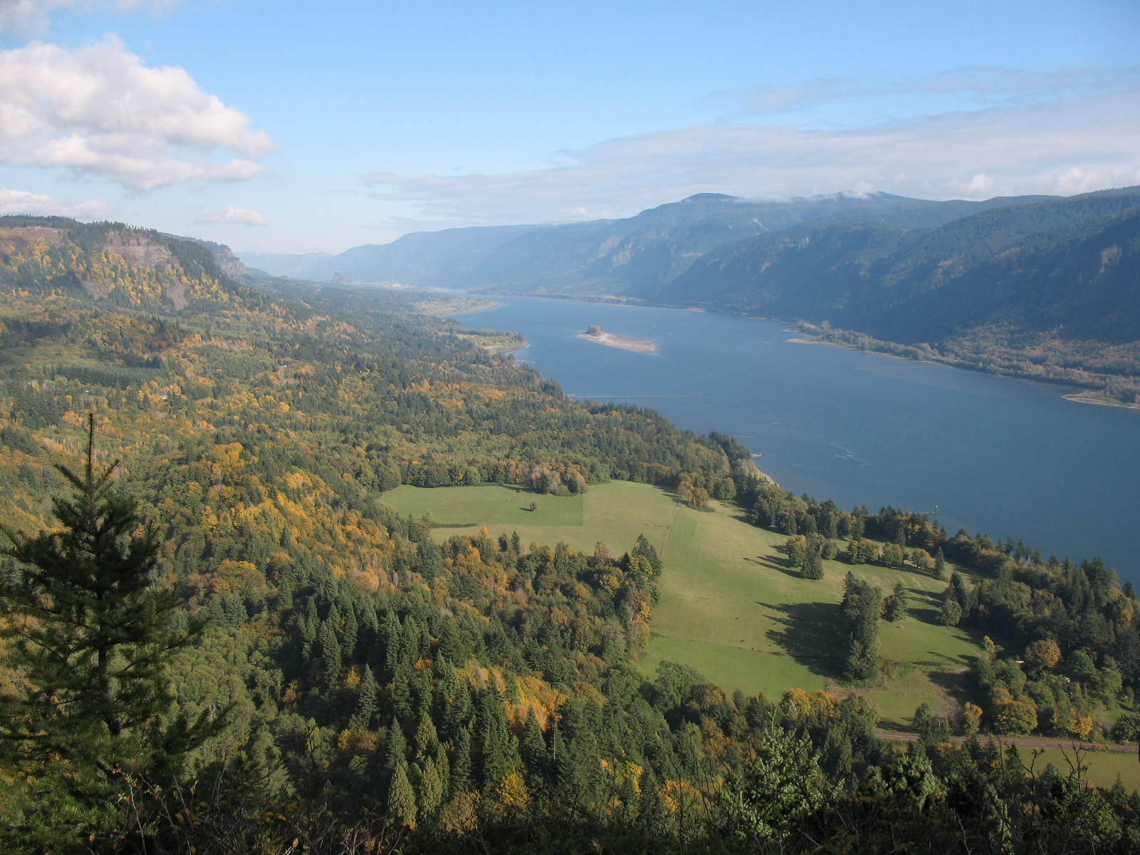
The forest is young by Northwest standards. Hundred-year-old Doug fir is the dominant size class; sword fern carpets the understory at higher density than nearby federal land where elk browse keeps the ferns trimmed. Sparse openings give occasional glimpses east toward Silver Star Mountain and west across the Dole Valley.
This is a working forest, not a wilderness. Expect logging operations to close roads or reroute trails on short notice. No streams cross the route — carry the day's water in. The full loop runs about seven miles round trip with twenty-two hundred feet of climbing. Free parking at the secondary lot above the falls; transit access via the larger Moulton Falls County Park lot nearby.
Seasonal Highlights
Astronomy
Trail Conditions
Scorecard
Mountain bikers use the trail on dry weekends. Hiker traffic stays light most of the year.
Safety & Considerations
Today's Hazard
- Strong sun — sunscreen, hat, and sunglasses recommended
Persistent Hazards
- Shared with mountain bikes — yield on banked turns
- Logging operations can close roads or trails on short notice
- No streams — carry full day's supply
- Three logging road crossings demand attention to traffic
Getting There
Secondary lot above Moulton Falls, capacity ~20 vehicles. No pass required.
Similar Hikes