journey to valhalla | lichtenberg and valhalla
Snoqualmie RegionBest Feb–May
Two peaks, two aspects: south-facing corn on Lichtenberg, then north-facing powder at Lake Valhalla.
About This Trail
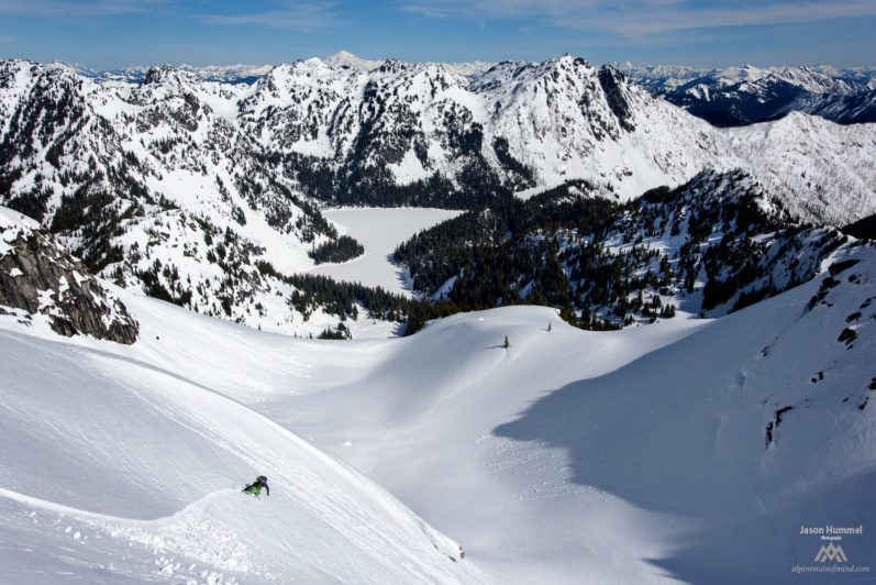
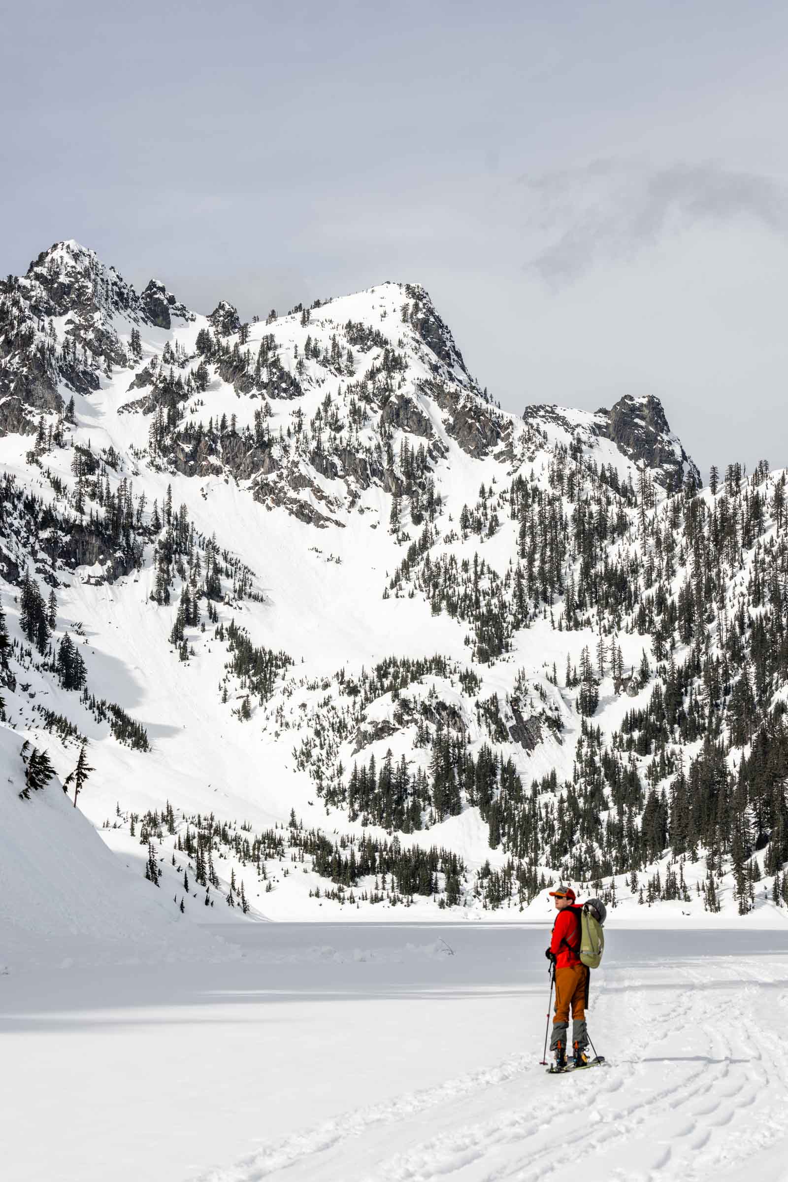
Lichtenberg Mountain and Lake Valhalla combine into a full-day ski tour from Stevens Pass, linking a south-facing summit with a north-facing powder bowl in the Henry M. Jackson Wilderness. The route gains 4,000 feet over 9 miles, touching two distinct snow aspects and terrain types.
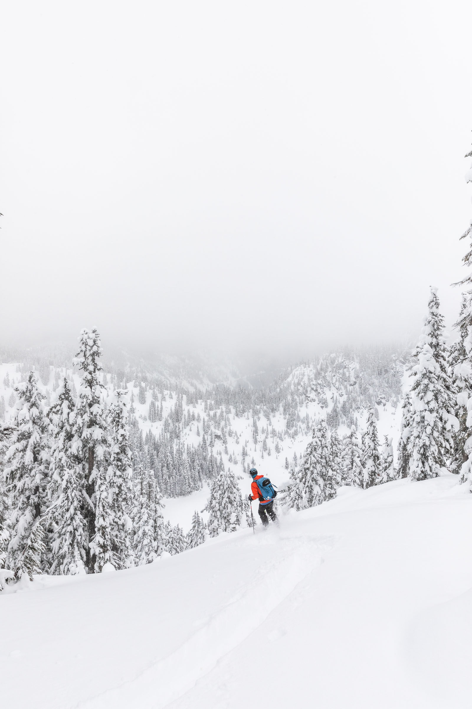
From the Yodelin lot east of Stevens Pass, the approach crosses Highway 2 and skins up Stevens Road before dropping roughly 200 feet to Nason Creek. The route then climbs through forested terrain, staying low beneath overhead avalanche paths on steeper slopes above. The skin track trends toward Lichtenberg's 5,825-foot summit through progressively opening terrain.
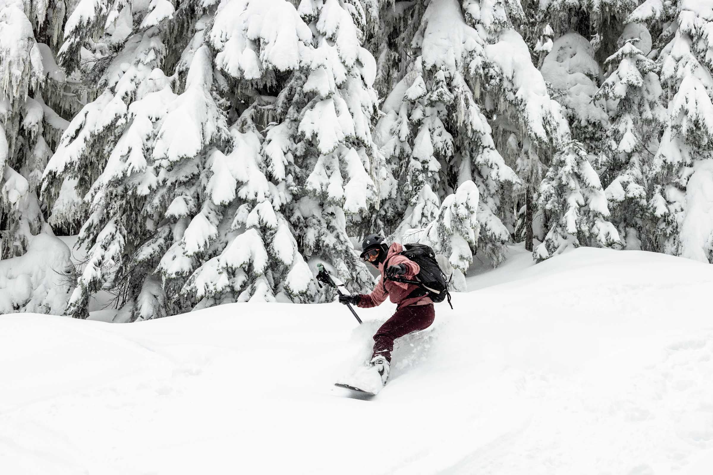
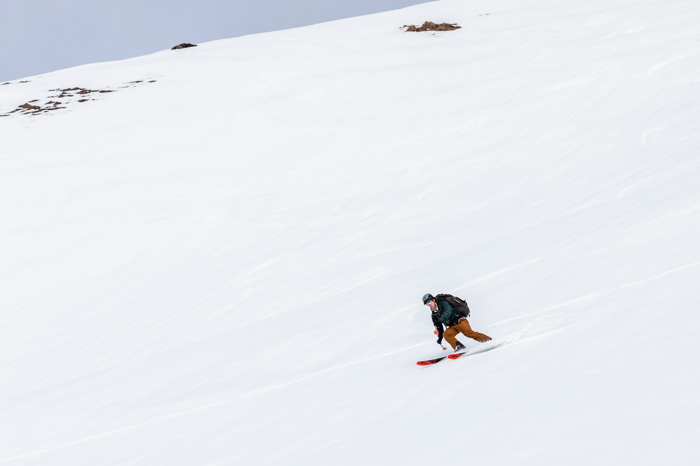
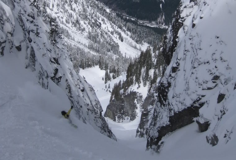
Lichtenberg's summit views are limited, but the skiing begins immediately. An 800-foot descent drops south-facing slopes before the route traverses toward Lake Valhalla. From the lake, skins go back on for the climb into a north-facing bowl on the lake's west side. This bowl holds the day's best snow. North aspects preserve powder or develop cold smoke long after south-facing slopes have baked to crust. The exit follows a gentle mandatory uphill on the road back to the car.
The terrain stays moderate throughout. Slopes are low-angle enough to avoid the worst avalanche paths, though the north-facing bowl and overhead hazards on the approach require avalanche awareness. This tour rewards patience with snow timing: south-facing corn on Lichtenberg in the morning, then north-facing powder at Valhalla in the afternoon.
Forecast
Astronomy
Trail Conditions
Scorecard
Safety & Considerations
Today's Hazard
- Strong sun — sunscreen, hat, and sunglasses recommended
Persistent Hazards
- ATES Challenging: overhead avalanche terrain on the approach requires careful route selection
- Highway 2 crossing at the start; use caution with traffic
- North-facing bowl at Valhalla holds higher avalanche risk than the south-facing Lichtenberg slopes
- 200-foot mandatory uphill on the road exit
Getting There
Yodelin lot at Stevens Pass, first lot east of the ski resort. Free, first-come. Can fill on busy powder days.
Cross Highway 2 from Yodelin lot, skin up Stevens Road, then descend 200 feet to Nason Creek. Ascend through forest staying below overhead avalanche terrain. Trend toward Lichtenberg summit. After the 800-foot descent, traverse to Lake Valhalla and re-skin into the north-facing bowl.
Early start for a full day. Allow 5-7 hours round trip depending on conditions and how much time is spent at Valhalla. The dual-aspect nature means timing is less critical than on a pure corn tour.
Similar Hikes