
Rocky Top and Cowiche Mountain
AQI 79 · moderateCentral WashingtonBest Mar–Jun, Sep–Nov
Rocky, exposed traverse to Cowiche Mountain through Central Washington's biggest shrub-steppe trail network.
About This Trail
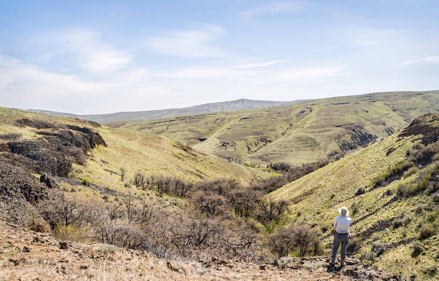
Rocky Top accesses the same Cowiche Mountain summit as Snow Mountain Ranch but from the southeast side, through a mountain bike trail network of 25 interconnected paths across open shrub-steppe. The Walk N Roll trail and William O. Douglas Trail lead hikers through basalt-studded hillsides and old-growth sagebrush to the 2,970-foot summit, where Adams and Rainier anchor the western skyline.
The full network spans about 20 miles, offering countless loop combinations. The terrain is rocky and exposed throughout, living up to the trail's name. Spring wildflowers carpet the hillsides and draw the biggest crowds, but the lack of shade and water means summer visits require serious heat planning. The land is jointly managed by the Single Track Alliance, Cowiche Canyon Conservancy, and William O. Douglas Trail Foundation, with trails crossing private property.
Be aware that many spur trails have been permanently closed, and blasting activity from nearby operations occasionally forces temporary closures. The conservancy also shuts things down during muddy early-spring conditions. Always check current status before heading out. For hikers who want a through-route, a car shuttle between Rocky Top and Snow Mountain Ranch trailheads makes a solid 7-mile traverse over the summit.
Astronomy
Trail Conditions
“The trail up to Cowiche Mountain is in great shape as it has dried out, so there is no mud.”
Last report: Mar 7, 2026
Scorecard
Safety & Considerations
Today's Hazard
- Strong sun — sunscreen, hat, and sunglasses recommended
Persistent Hazards
- rattlesnakes
- ticks
- extreme-heat
- rocky-terrain
Getting There
Basalt boulder-ringed parking area at the end of Rocky Top Road. Portable restroom available. No fee.
From SR 12 north of Yakima, exit at 40th Avenue, south 1.5 miles to Summitview Avenue, right for 6.3 miles, then left onto Rocky Top Road for 0.5 mile. The most direct summit route follows Walk N Roll to the William O. Douglas Trail. Through-hikers can shuttle a car to the Snow Mountain Ranch trailhead for a one-way traverse.
Morning starts are strongly recommended in warm months. No water on trail. The rocky footing slows progress, so budget more time than the distance suggests.
Recent Reports
Beautiful day over in the Yakima area for a hike, as it was 60+ degrees and sunny out. The trail up to Cowiche Mountain is in great shape as it has dried out, so there is no mud.
Snow Mountain via Rocky Top trailhead is garbage. Literally garbage: you spend the first 2 miles of the hike circling around a landfill.
Brenda, Jonah, & I headed out to Rocky Top today to go up Cowiche Mtn, but when we arrived we found a sign at the trailhead that said: Danger, Blasting Zone, Authorized Personnel Only, so we went over to Snow Mtn Ranch. We went up the Wildflower and Cowiche Mtn Trail West to our usual lunch spot about 1/4 mile short of the summit.
Similar Hikes


.jpg)