
Manastash Lake
Central WashingtonBest Jun–Oct
Two backcountry lakes in larch and whitebark pine forest atop Manastash Ridge.
About This Trail
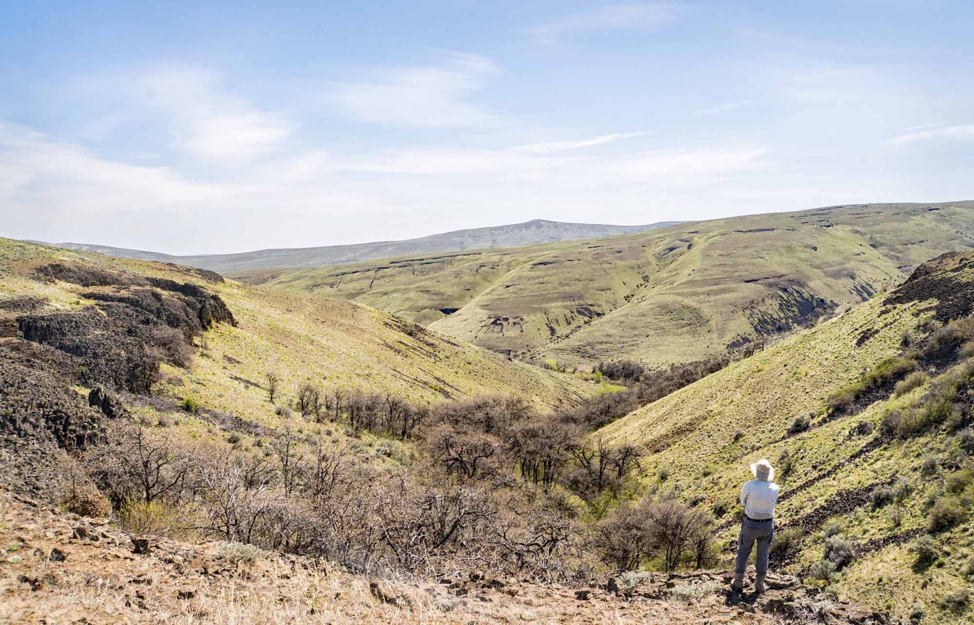
Manastash Lake Trail #1350 climbs through mixed conifer forest on the north side of Manastash Ridge to two backcountry lakes. Lost Lake appears at mile 2 in a quiet basin ringed by subalpine fir. Manastash Lake sits another two miles further and 200 feet higher, tucked beneath talus slopes with views east toward the Stuart Range and the Kittitas Valley wind farms.
The forest transitions through elevation zones: Ponderosa pine and Douglas fir at the trailhead give way to western larch, western white pine, and whitebark pine near the lakes. October brings golden larch color that draws visitors looking for a less-crowded alternative to the popular Enchantments larch hikes. Berry picking is productive in late summer, with huckleberries growing thick along the upper trail.
Multiple established campsites sit near both lakes. A bench at Manastash Lake makes a fine lunch spot. The trail surface runs loose and sandy in places, shared with equestrians and motorized vehicles in summer. Spring hiking, before motorized season opens, offers the quietest experience. The access road requires a high-clearance vehicle and 40 minutes of slow driving from the pavement.
Astronomy
Trail Conditions
Scorecard
Safety & Considerations
Today's Hazard
- Strong sun — sunscreen, hat, and sunglasses recommended; water reflection adds glare near the lake
Persistent Hazards
- Rough access road with potholes and washboard
- Shared trail with motorized vehicles and equestrians in summer
- Loose, sandy trail surface
Getting There
Small lot with space for 4-6 vehicles and a privy. Northwest Forest Pass required. The 9-mile drive on FR-31 from the end of pavement is rough, with washboard surface, dips, and potholes. High clearance recommended.
From I-90 exit 101, follow Thorp Way South to Cove Road, then Manastash Road west. The road transitions to FR-31; fork left to reach the trailhead. Trail passes Lost Lake at mile 2 before continuing to Manastash Lake at mile 4. Well-defined tread but loose surface throughout.
Budget 40 minutes for the drive from pavement to trailhead. Start early in summer to beat motorized traffic on the trail.
Similar Hikes


.jpg)