
Ginkgo Petrified Forest State Park Backcountry
Central WashingtonBest Mar–May, Oct–Nov
Desert bluffs above the Columbia with petrified wood, bighorn sheep, and rare wildflowers.
About This Trail
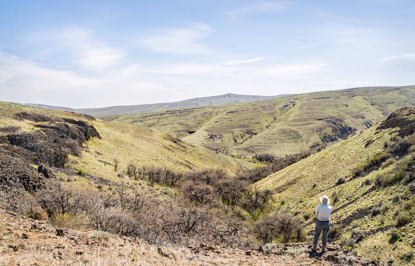
The backcountry routes at Ginkgo Petrified Forest State Park climb from the Columbia River basin into rolling shrub-steppe above basalt bluffs. The main route starts steep, gains a broad bench above the cliffs, traverses a side canyon, then follows an old two-track west to Sternberg Point. The view from the point takes in Babcock Bench, the Columbia River, and the Saddle Mountains.
Petrified wood from the Miocene epoch lies scattered across the backcountry, the remains of forests buried by lava flows 15 million years ago. Bighorn sheep inhabit the cliffs and are spotted regularly in spring and fall. Robinson's onion, a rare endemic wildflower, blooms here alongside balsamroot, lupine, phlox, and bitterroot in April and May.
The trailhead is easy to miss. Pull off the shoulder of Recreation Road 0.5 miles from Huntzinger Road. Trails are unmarked old two-tracks and game paths; navigation requires attention. The interpretive trails at the main park area sit a few miles west and offer a shorter, signed alternative for those wanting a quick introduction to the petrified wood story.
Astronomy
Trail Conditions
“The flowers are blooming and we didn't see any bugs or snakes.”
Last report: Apr 21, 2026
Scorecard
Safety & Considerations
Today's Hazard
- Strong sun — sunscreen, hat, and sunglasses recommended; water reflection adds glare near the lake
Persistent Hazards
- Unmarked trails - navigation skills required
- No shade or water sources
- Steep initial climb on loose surface
- Rattlesnakes in rocky terrain
- Petrified wood is protected - do not collect specimens
Getting There
Shoulder parking on Recreation Road, 0.5 miles from Huntzinger Road exit off I-90 (exit 136). Discover Pass required. The trailhead is unmarked and easy to miss. Lower lot near a vault toilet also works.
From I-90 exit 136, drive 1 mile on Huntzinger Road, turn right onto Recreation Road, and park on the shoulder after 0.5 miles. The trail starts with a steep climb on the north side of the road. Follow the bench above the basalt cliffs west toward Sternberg Point. Trails are unmarked two-tracks; carry a map or GPS track.
Morning starts give cooler temperatures and better light on the Columbia River. Bighorn sheep are most active early and late in the day.
Recent Reports
Trails not well marked. My trail head was about 0.
This is a great time of year to visit this area. The flowers are blooming and we didn't see any bugs or snakes.
Speedwell and I did a 13 mile clockwise loop, see link. The flowers start slowly in Rocky Coulee, but there seems to be more lupine and showy phlox becoming established as you progress.
Similar Hikes


.jpg)