
Devils Gulch
Central WashingtonBest Apr–Jun, Sep–Oct
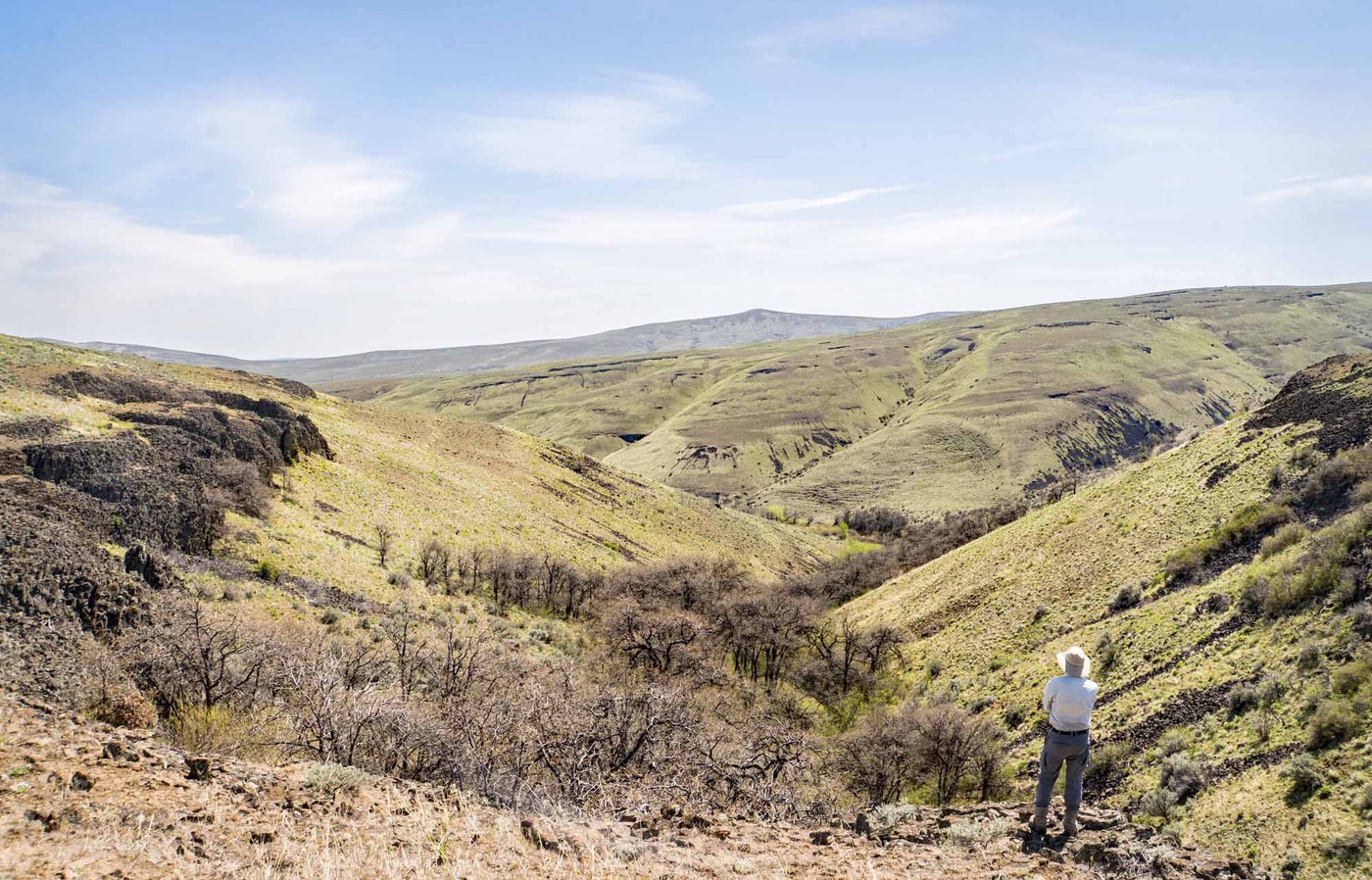
Shaded creek canyon and old-growth Ponderosa on a mountain bike network south of Cashmere.
About This Trail
Devils Gulch Trail #1220 follows a creek drainage through dry-side Ponderosa pine and old-growth forest south of Cashmere in the Wenatchee Mountains. The route shares a well-built network with mountain bikers, and hikers should expect to yield the trail frequently on weekends. Most parties combine it with the Mission Ridge Trail to make a satisfying loop through open ridgeline and forested canyon.
The gulch itself stays shaded and relatively cool through spring and early fall, but temperatures on the exposed upper sections climb fast once summer arrives. Wildflowers show well in May and June. Lewisia tweedyi, a rare endemic, grows on the rocky slopes above the creek. Birding picks up in the old-growth sections, where woodpeckers and warblers work the big Ponderosa bark.
Spring and fall deliver the best conditions. Summer heat makes this route punishing, and the shared surface with bikes means dust hangs in the air on dry days. Snow lingers into late April at higher elevations.
Astronomy
Trail Conditions
“I started at the North Tronsen Ridge Trailhead atop 5 mile road.”
Last report: Jun 25, 2024
Scorecard
Safety & Considerations
Persistent Hazards
- Frequent mountain bike traffic on shared trail
- Extreme heat in summer months
- Rattlesnakes in dry rocky areas
Getting There
Small trailhead lot off road south of Cashmere. Northwest Forest Pass required. Fills on good-weather weekends when mountain bikers are out in force.
The trail follows Devils Gulch Creek uphill through forest, gaining elevation steadily. Many hikers loop back via the Mission Ridge Trail for variety. The route is well-signed at junctions. Yield to mountain bikers on downhill sections.
Start early in warm months to beat the heat and the mountain bike traffic. Morning light fills the gulch nicely.
Recent Reports
I ventured to the Wenatchee Mountains for a big ol' loop utilizing a bunch of trails. I started at the North Tronsen Ridge Trailhead atop 5 mile road.
Beautiful scenery and a nice escape from the rainy west side of the Cascades! We made a loop starting at Devil’s Gulch trailhead, took Devil’s Gulch out and up, and came back down on Mission Ridge.
This hike starts about 10 miles south from Cashmere. I combined the 2 trails and did a loop hike.
Similar Hikes


.jpg)