
Cowiche Canyon Preserve
AQI 79 · moderateCentral WashingtonBest Mar–May, Oct–Nov
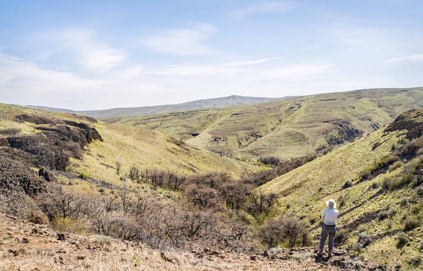
Twenty miles of interconnected trails through a basalt-walled canyon and rolling sagebrush uplands outside Yakima, with a winery at the end of one spur.
About This Trail
The Cowiche Canyon Preserve packs a surprising amount of terrain into a compact area just northwest of Yakima. The canyon trail follows an old railroad grade along Cowiche Creek, crossing the water nine times beneath basalt and andesite cliffs. Above the canyon, the uplands open into rolling grasslands with long views toward Mount Rainier and Mount Adams on clear days.
The trail network supports loops of varying length. The canyon out-and-back covers about 5.8 miles round trip on mostly flat gravel. The uplands trails (Jeep Road, Summit, Radio Flyer, Col Barnhill, Coyote Way) add elevation and mileage for those looking to extend. The Winery Trail drops steeply to Wilridge Winery's tasting room, making it one of the few hikes in the state that ends at a wine pour.
Wildflower season starts early here. Grass widows appear in February, followed by balsamroot, lupine, and desert parsley through April and May. Raptors and magpies patrol the canyon year-round. Summer brings real heat with minimal shade, so carry extra water and plan accordingly. Fall color in the canyon is worth the trip. No parking pass required at any of the four trailheads.
Astronomy
Trail Conditions
“Getting hot and dry already, but lots of flowers out.”
Last report: May 22, 2026
Scorecard
Safety & Considerations
Today's Hazard
- Strong sun — sunscreen, hat, and sunglasses recommended
Persistent Hazards
- rattlesnakes
- ticks
- no water on trail
- extreme heat in summer with minimal shade
Getting There
No parking pass or fee required. Four trailheads: East Canyon, West (Weikel), Scenic Road, and Summitview. East canyon lot fills on sunny weekend afternoons in spring.
All trailheads accessible from I-82 Exit 31A near Yakima. The east canyon trailhead provides the most popular access. The Scenic Road trailhead serves the uplands loop trails. GPS coordinates available for all four access points.
Spring mornings offer the best wildflower light and comfortable temperatures. In summer, finish before noon or start in late afternoon to avoid peak heat.
Recent Reports
#Hikethestate - Love the high desert envir and hiking the 2. 9-mile Cowiche Canyon Trail, a former rail bed with eleven bridge crossings of Cowiche Creek, and looping up on Lone Pine trail to the ridgeline and back down the Tieton Andesite trails really enhanced the experience with some fantastic views for a 7.
Wide gravel surface, no shade
Trail run from the Scenic trailhead. Getting hot and dry already, but lots of flowers out.
Similar Hikes


.jpg)