
Candy Point Trail
Central Washington
Astronomy
MoonWaxing Gibbous (71%)
Stargazingfair
Trail Conditions
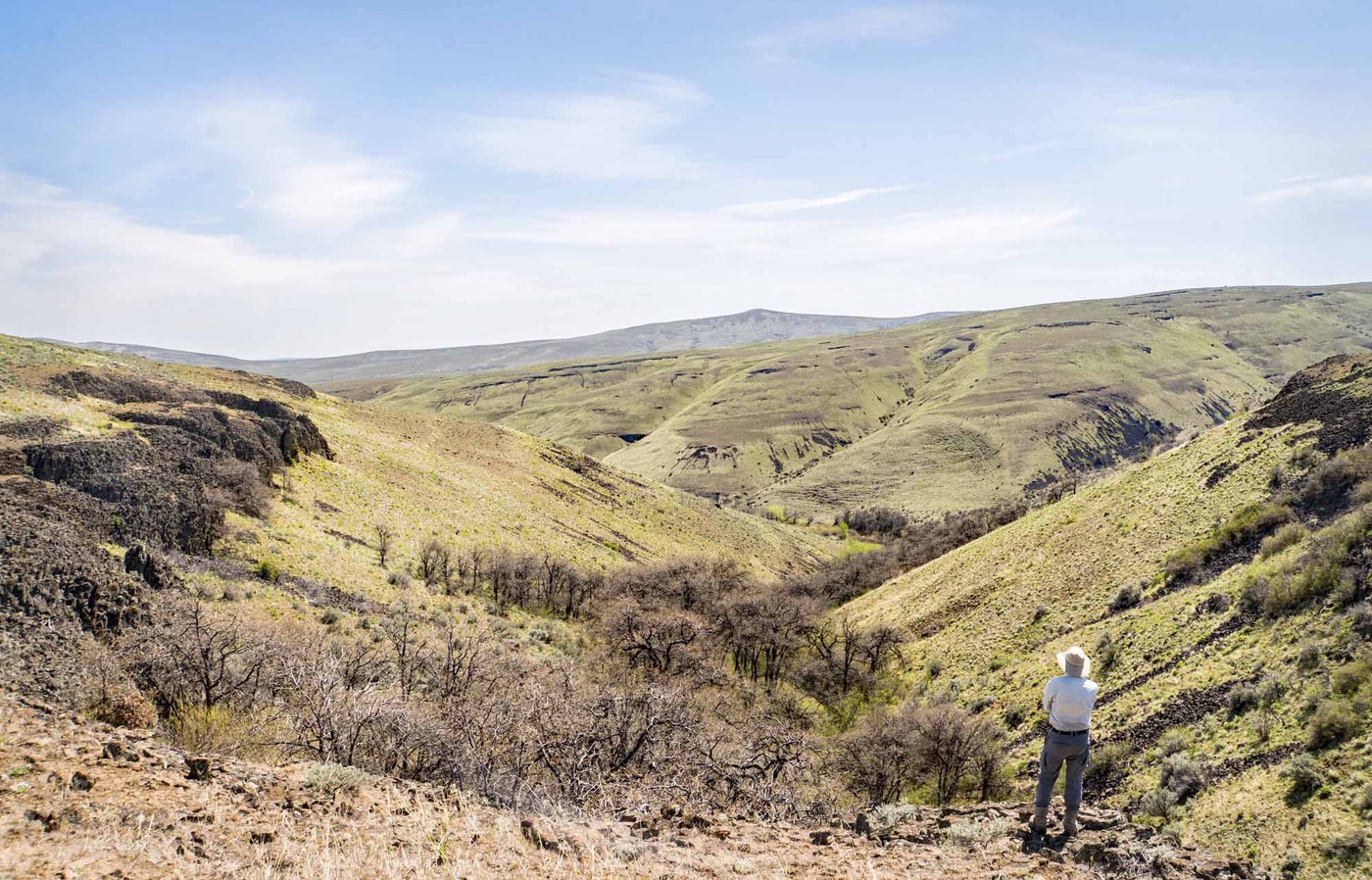
“Dozens of deer in the canyons, lots of birds in the skies and sweeping views all around.”
Last report: Apr 6, 2026
Safety & Considerations
Today's Hazard
- Strong sun — sunscreen, hat, and sunglasses recommended; water reflection adds glare near the lake
Getting There
Recent Reports
Apr 6, 2026
I just love this trail! Built in the1930s presumably as part of an aqueduct system and with terracing for fruit trees it is just a cool reminder of an era gone-by.
Dec 28, 2024
This trail is short, steep and sweet. Dozens of deer in the canyons, lots of birds in the skies and sweeping views all around.
Jun 7, 2022
The trailhead for Candy Point is a bit obscure but we found it, located on the west side of North Columbia Ave. As other write ups say, you cross over a lush green lawn, and ahead of you is another trailhead sign.
Similar Hikes

Lenore Lake CavesIce Age flood caves in columnar basalt above the Grand Coulee, a geology lesson in every footstep.
WildflowersWildlife

Frenchman CouleeA short desert walk through towering basalt columns to a seasonal waterfall carved by Ice Age floods.
WaterfallRiver

Cleman Mountain - Waterworks Canyon LoopA steep canyon-to-ridge loop through basalt formations and wildflower slopes on the dry side of the Cascades, with bighorn sheep and volcano views.
Scenic ViewsWildflowersWildlife

Sage HillsRolling sagebrush singletrack above the Columbia River with Cascade views and spring wildflowers.
WildflowersScenic ViewsWildlife
Box Spring CanyonShrub-steppe canyon walk through wildflower country west of Yakima, ending at a Garry Oak overlook above basalt cliffs.
Scenic ViewsWildflowersWildlife
.jpg)
Black CanyonA recovering burn zone in the Wenas Wildlife Area with wildflower explosions, birding, and wide-open ridgeline views of the Cascades.
Forest TrailWildflowersWildlife