Yacolt Burn State Forest - Appaloosa Trail
Southwest WashingtonBest Mar–Nov
A well-built forest connector to Hidden Falls, with three creek bridges and a mix of old roads and mature timber.
About This Trail
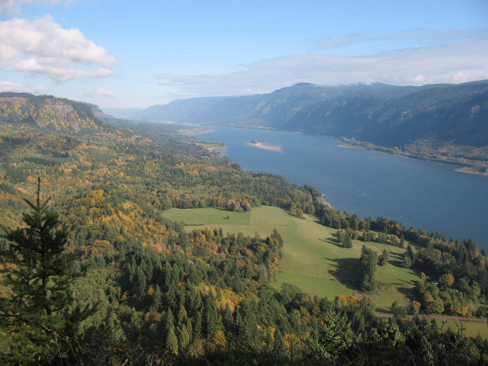
The Appaloosa Trail is a 6-mile round trip connector through the heart of the Yacolt Burn State Forest, linking the west and east sides of the larger Tarbell Trail loop. Recently reconstructed by DNR with help from several volunteer organizations, this is one of the better-maintained paths in the forest.
From Rock Creek Campground, the trail crosses Rock Creek three times on solid bridges, then follows Coyote Creek upstream through a mix of alder groves and mature Douglas-fir. The route rolls through old logging road sections (flat and easy walking) before steepening briefly into older forest. The payoff at the end is Hidden Falls, a tall, plunging cascade tucked in a lush green drainage with a bench placed perfectly for lunch.
This trail works well as a standalone out-and-back to the falls, or as one leg of a loop using the Tarbell Trail. Runners love the Tarbell-Appaloosa loop from Rock Creek Campground. The bridges and moderate grade make it a solid family option, and the forest is varied enough to hold interest. Expect to share the trail with horses on occasion.
Astronomy
Trail Conditions
“I went for a run from the Rock Creek campground and did a loop using the Tarbell trail and Appaloosa trail.”
Last report: Jan 10, 2026
Scorecard
Permits / Passes
Safety & Considerations
Persistent Hazards
- Equestrian trail - yield to horses
- Puddles and mud in wet months
Getting There
Park at Rock Creek Campground. The trailhead is at the east end of the campground. Discover Pass required. Restrooms available.
From the Rock Creek Campground trailhead, cross Rock Creek three times on bridges, then follow the trail along Coyote Creek. The path uses a flat old logging road section before steepening into mature forest near Hidden Falls. Well signed at junctions with the Tarbell Trail.
Morning light is best for photos at Hidden Falls. This trail pairs naturally with the Tarbell Trail for a loop back to Rock Creek Campground.
Recent Reports
I love the Yacolt Burn! I went for a run from the Rock Creek campground and did a loop using the Tarbell trail and Appaloosa trail.
Hiked in from the gate on L-1210 making it a 6. 5 mile out and back.
Hiked it on a rainy day - some puddles and blocked drains but otherwise the trail is pretty decent.
Similar Hikes