Mt. Pilchuck Spring Ski Route
North CascadesBest Jan–Mar
A short-approach winter ski tour to Mt. Pilchuck, accessing the lookout-topped summit from the Mountain Loop Highway.
About This Trail
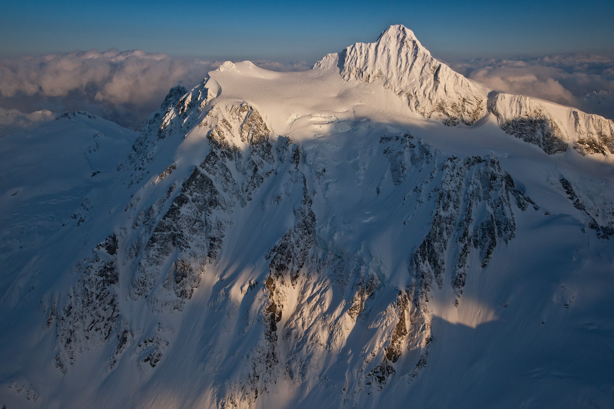
Mt. Pilchuck rises fifty-three hundred feet over the Stillaguamish valley, the southern outpost of the North Cascades and one of the more accessible ski touring summits in the region. The standard climb leaves the Mt. Pilchuck State Park trailhead off the Mountain Loop Highway and follows the summer hiking route up Gunsight Pass to the summit ridge. Total push runs about three thousand feet across three miles.
Skiing is opportunistic. Steep shaded sections require booting and benefit from crampons. Sun-exposed slopes deliver corn on the right cycle but need careful timing. Lower descent often involves significant boot travel as snow coverage breaks up. The summit hosts a restored fire lookout — a rare reward for a winter touring summit.
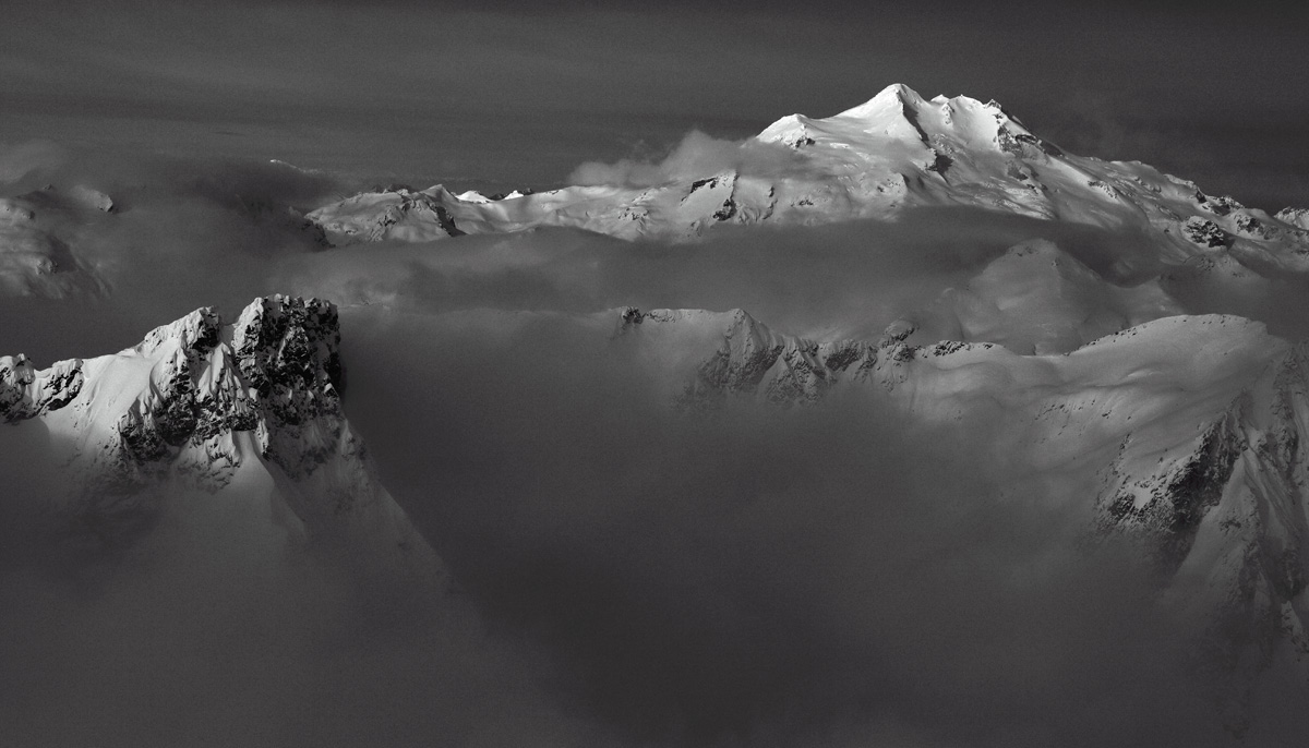
Spring access depends on the Pilchuck road status — closures push the approach to e-bike or foot for the first miles. Trip reports often note the route is not worth the effort if coverage is poor. February through early April is the more reliable window when the snow line stays low enough to make the descent skiable.
Mixed forest skiing with steeper open sections near the summit. Crampons and ski-mountaineering tools needed for the upper pitches. Variable coverage on descent.
Skin track on the summer trail in good snow years. Bootpack on the steepest sections through Gunsight Pass to the summit ridge.
Seasonal Highlights
Astronomy
Trail Conditions
Scorecard
Popular hiking destination summer; ski traffic light. Road closures further filter winter access.
Safety & Considerations
Today's Hazard
- Strong sun — sunscreen, hat, and sunglasses recommended
Persistent Hazards
- Steep shaded sections require booting — crampons recommended
- Deep tree wells and creek holes near the trail
- Variable snow coverage — expect significant boot travel on descent
- Gunsight Pass section requires careful navigation in poor visibility
- Avalanche terrain on the upper face — NWAC West Slopes Central forecast required
Getting There
Mt. Pilchuck State Park lot off Mountain Loop Highway. Northwest Forest Pass typically required. Road closures common in winter — confirm before driving out.
Similar Hikes