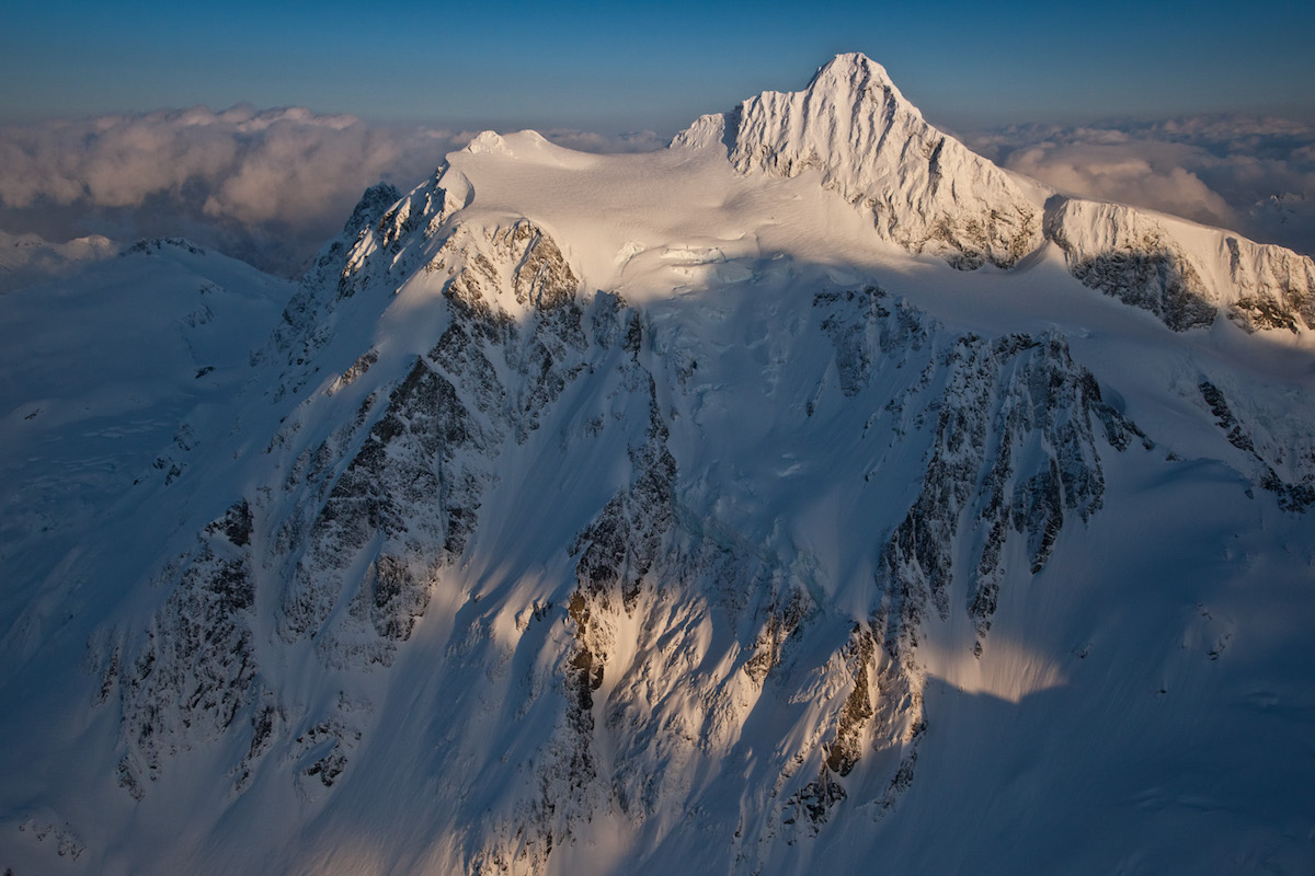
Goode Mountain and Mount Logan
North CascadesBest May–Jun
A 3,500-foot steep couloir descent from one of the North Cascades' most dramatic peaks, with Mount Logan across the col for ambitious parties.
About This Trail
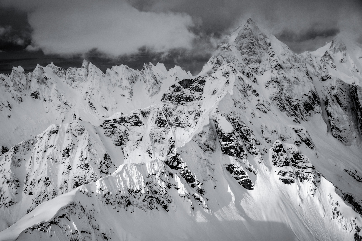
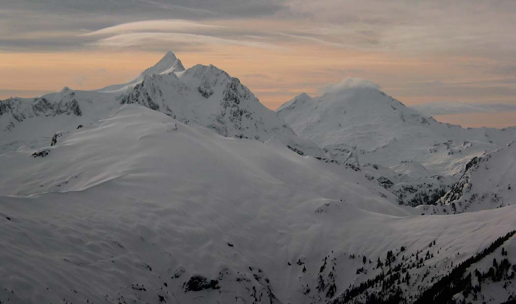
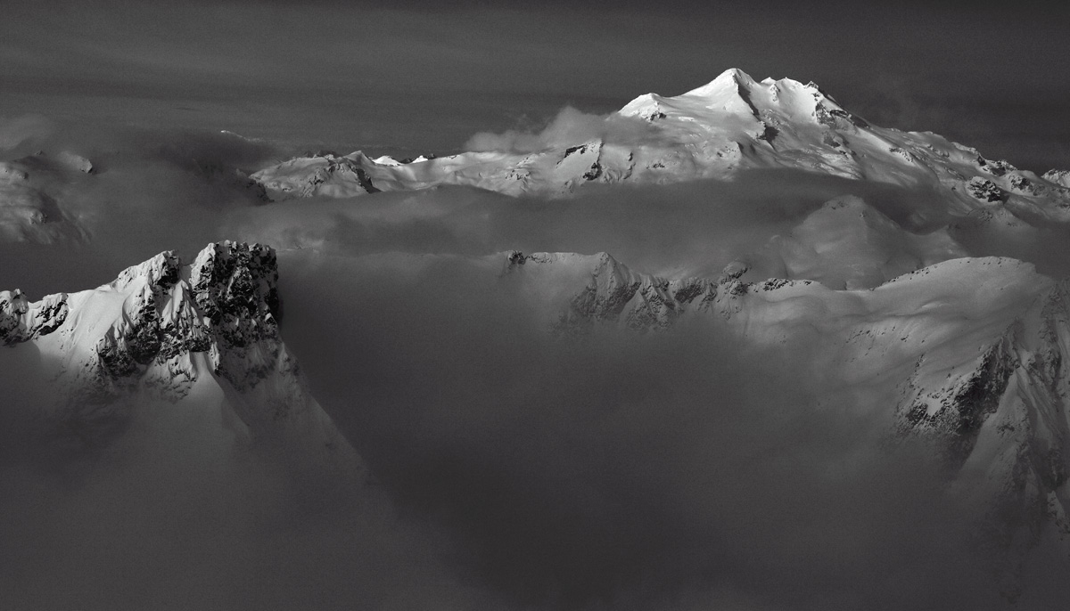
Goode Mountain's northeast couloir is one of the great steep ski descents in North Cascades National Park, dropping 3,500 feet from the summit ridge into the North Fork of Bridge Creek valley. Mount Logan sits across the col with the Douglas Glacier offering additional terrain for parties with time and ambition. The approach from Rainy Pass on Highway 20 keeps access relatively straightforward by North Cascades standards.
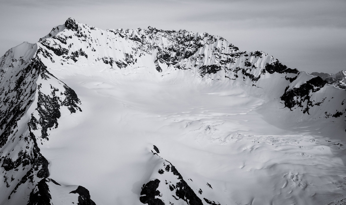
Day one covers the approach from the Rainy Pass trailhead, crossing Black Peak's southern slopes and descending through Woody and Grizzly Creek drainages into the North Fork of Bridge Creek valley. Thick vegetation and tricky creek crossings mark this section. From a valley camp, day two sends you up 5,000 feet to the col below Goode, with the final 2,000 feet as a steep bootpack to the couloir entrance. The couloir itself holds snow in wildly different states depending on the season, from deep powder to bulletproof ice that turns parties around.
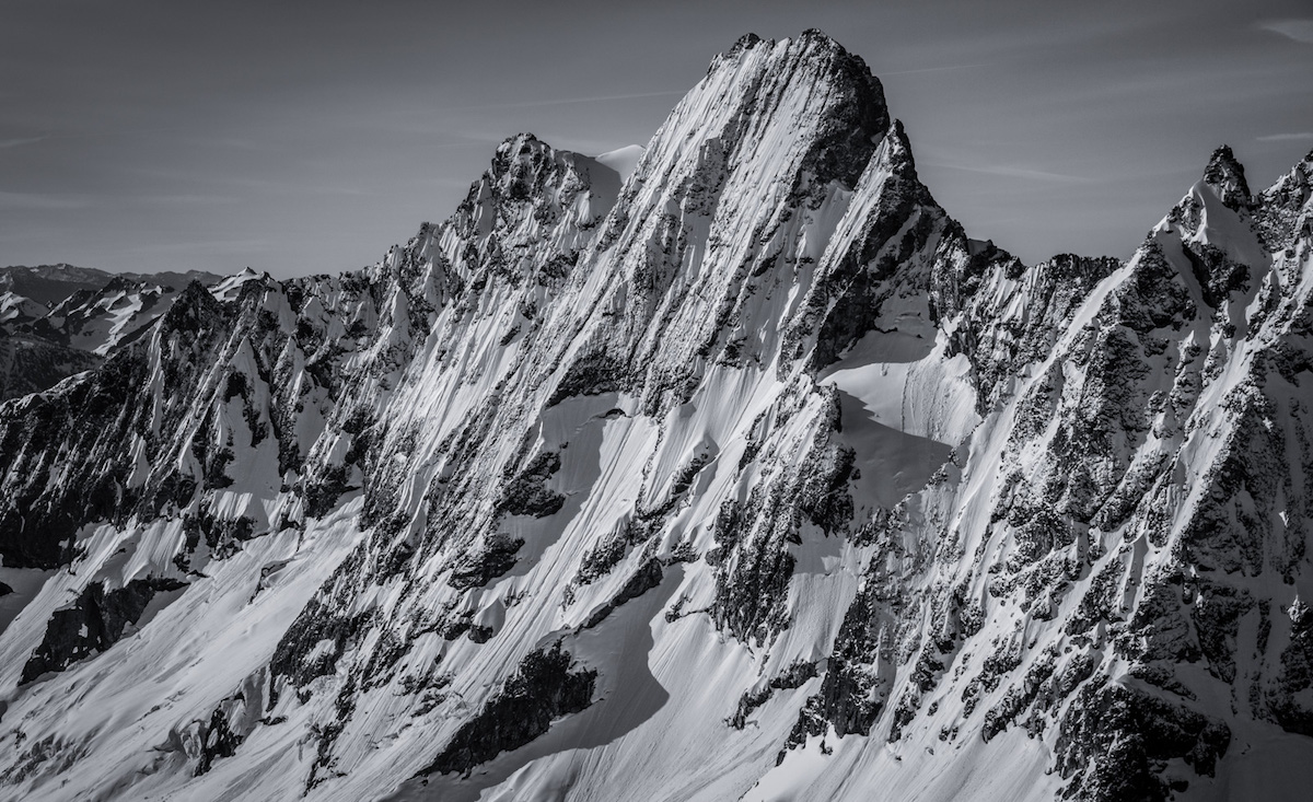
When conditions align, the 3,500-foot descent from Goode's summit back to valley floor ranks among the finest steep ski lines in Washington. The NE couloir runs at 50-plus degrees with fluting that channels sluff, demanding decisive, committed skiing. Goode Glacier crevasses and ice cliffs guard the lower approach and require careful navigation. This is a route where conditions dictate everything, and reading the snowpack correctly is the difference between a legendary day and a forced bivy.
Forecast
Astronomy
Trail Conditions
Scorecard
Safety & Considerations
Persistent Hazards
- 50+ degree couloir with variable snow conditions
- Goode Glacier crevasses and ice cliffs
- Sluff channels in the fluted couloir
- Thick brush and difficult creek crossings on approach
- Forced bivy potential if conditions deteriorate
- National Park wilderness permit required
Getting There
Rainy Pass trailhead on Highway 20 (SR 20). Highway 20 closes seasonally over the passes, typically reopening late April to mid-May. Check WSDOT for current status. Standard trailhead parking, no fee required for National Park backcountry with a wilderness permit.
From Rainy Pass, traverse Black Peak's southern slopes, descend through Woody Creek and Grizzly Creek drainages to the North Fork of Bridge Creek. Thick vegetation and Falls Creek crossing make the approach slow. Camp in the valley, then climb 5,000 feet to the col below Goode. The final 2,000 feet to the couloir entrance is a steep bootpack. Mount Logan is accessible from the same col via the Douglas Glacier.
Two-day minimum trip. Start the summit push before dawn from valley camp to catch firm snow on the bootpack and optimal corn conditions for the descent. Highway 20 opening date determines the start of the season.
Similar Hikes