Buckner Mountain
North CascadesBest Apr–Jun
A committing multi-day glacier approach to one of Washington's highest summits, rewarding strong parties with a sustained north face descent.
About This Trail
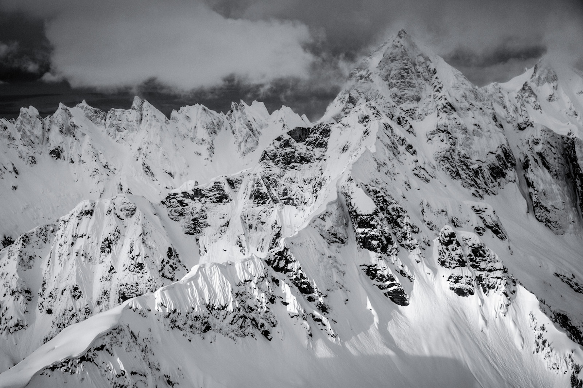
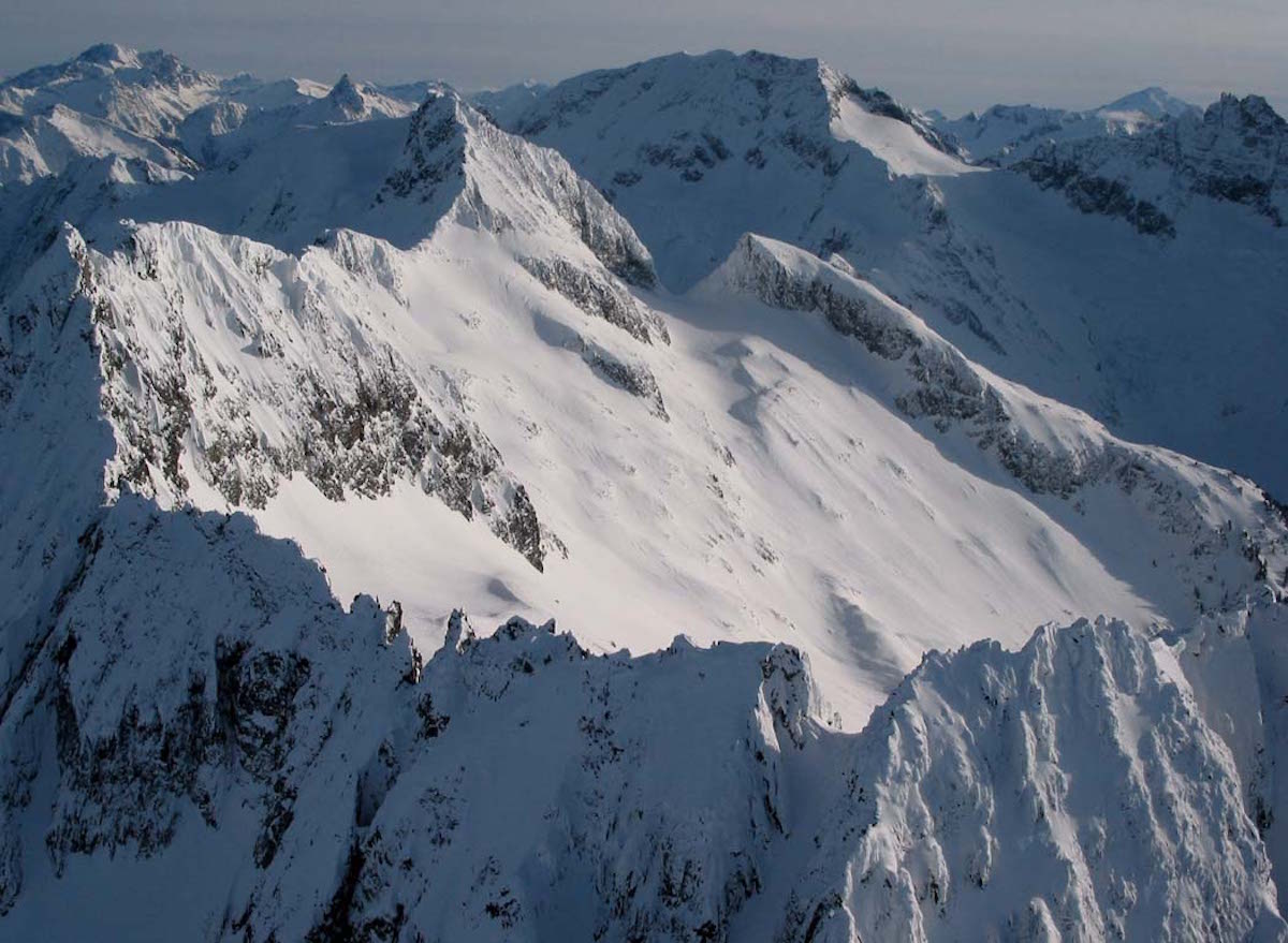
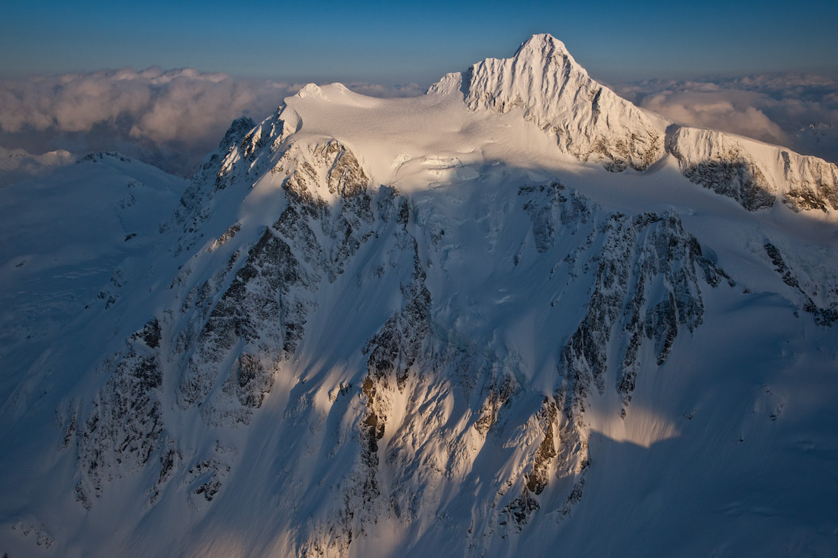
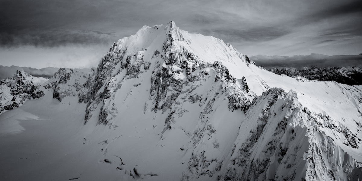
Buckner Mountain stands as the 10th highest peak in Washington at 9,112 feet, and its north face offers one of the most committing ski descents in the North Cascades. The route approaches through Boston Basin via the Eldorado Trailhead on Cascade River Road, climbs through the steep couloir at Sharkfin Col requiring crampons and ice tools, then traverses the heavily crevassed Boston Glacier to reach the north face. This is a multi-day objective that demands glacier travel competence, routefinding skill, and comfort on sustained 40-degree terrain.
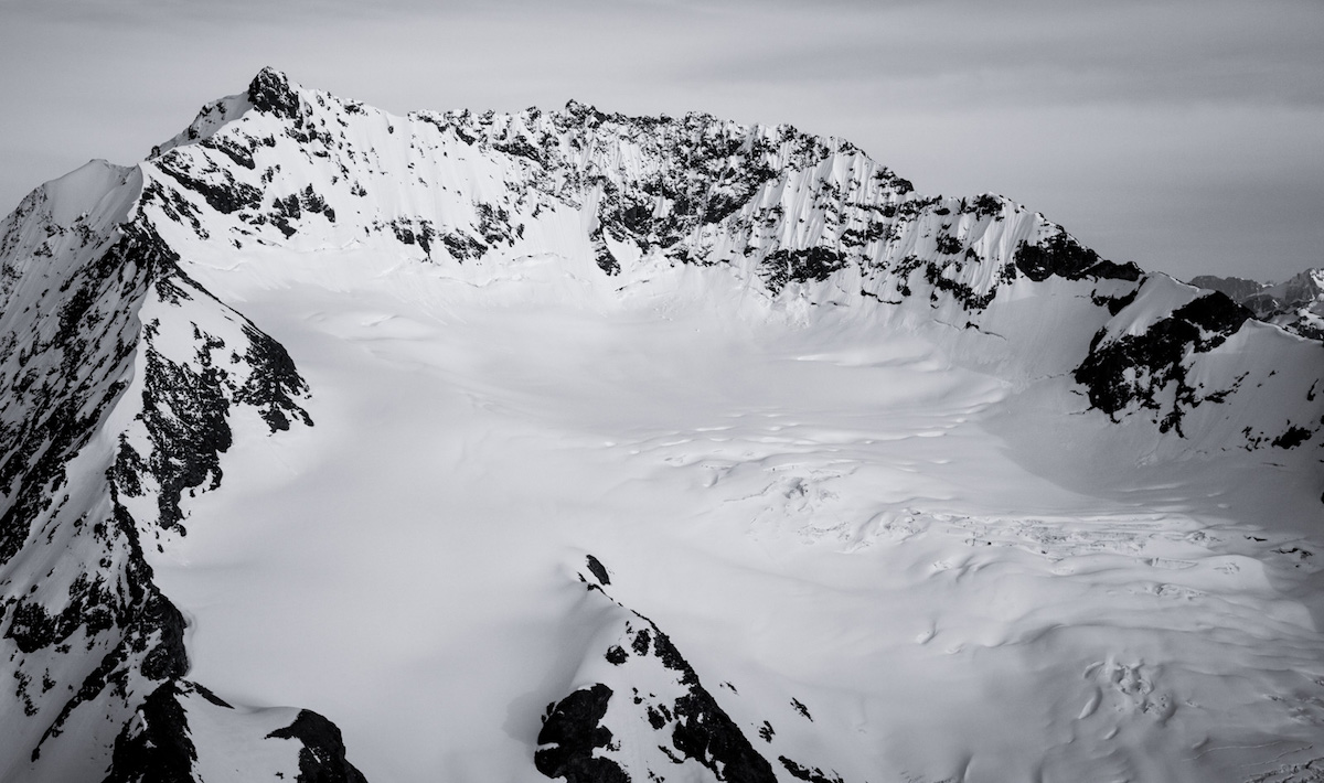
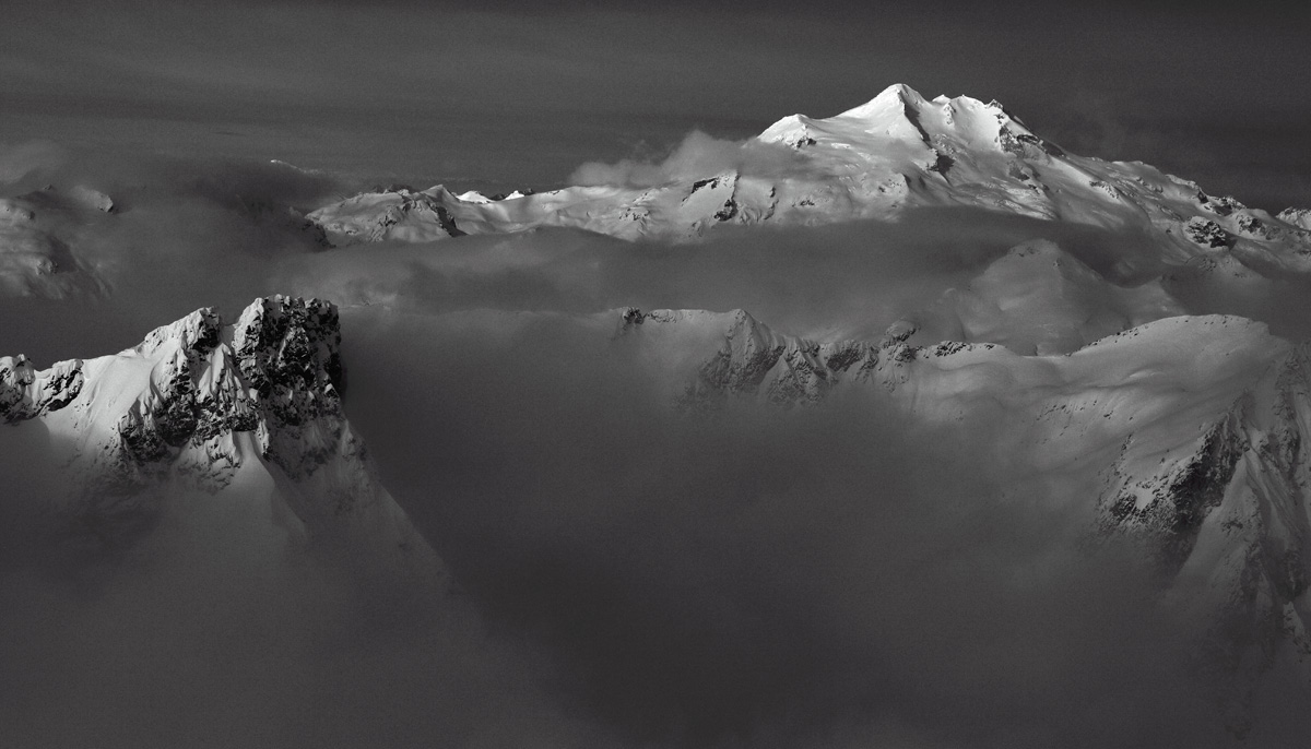
The Boston Glacier crossing is the crux of the approach, threading through 30-foot seracs and hidden crevasses that require roped travel and constant vigilance. Wind loading on the upper mountain creates slab avalanche potential, and conditions can deteriorate rapidly with 50 mph winds forcing nighttime descents by headlamp. The north face itself rewards patient climbers with a sustained descent through stable powder when conditions align.
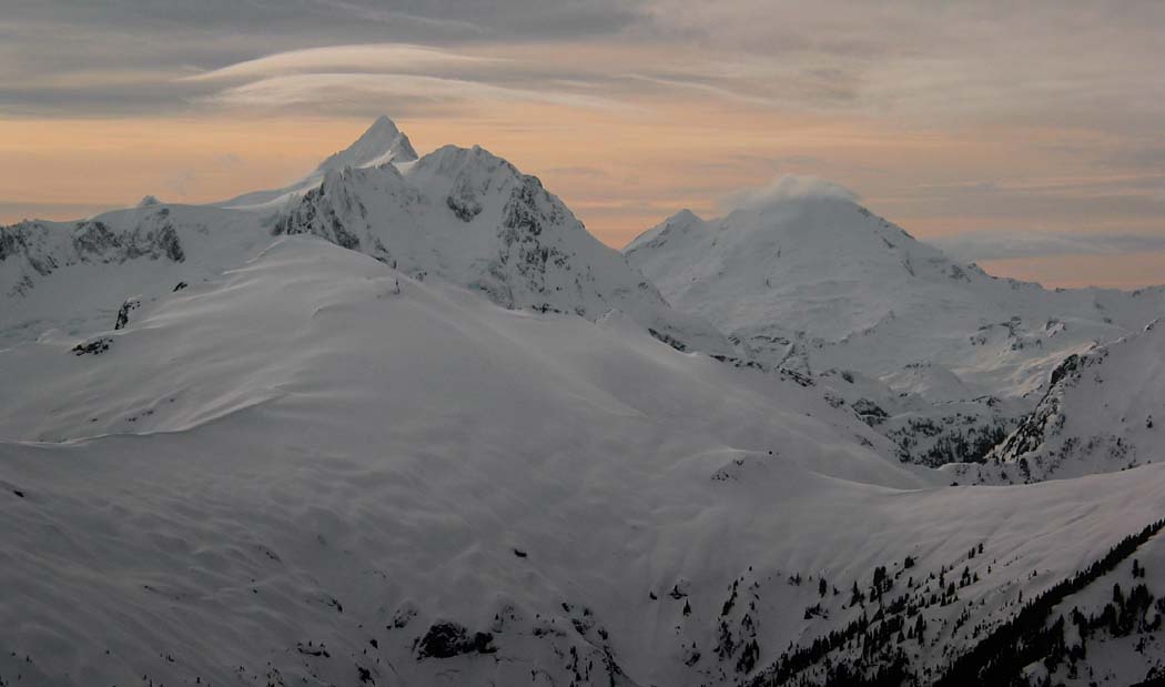
Views from the upper mountain take in Goode, Logan, Sahale, and Eldorado, with the dramatic southern drop into Park Creek visible below. The surrounding terrain is as wild and remote as anything in the Lower 48. Expect to earn every turn on this one.
Forecast
Astronomy
Trail Conditions
Scorecard
Safety & Considerations
Persistent Hazards
- Extensive crevasse fields on Boston Glacier
- Hidden crevasses requiring roped travel
- Slab avalanche potential from wind loading on upper mountain
- Near-vertical ice at Sharkfin Col
- Rapid weather deterioration with high winds
- Remote location with no quick evacuation
Getting There
Eldorado Trailhead at the end of Cascade River Road. Road may be gated in early season, adding extra miles on foot. No fee, limited parking.
Follow the Boston Basin trail through low valley forest (the hardest part in poor conditions), then gain the alpine via Quien Sabe Glacier to Sharkfin Col. The col requires crampons and ice tools for a near-vertical step. Cross Boston Glacier roped up, navigating around seracs and crevasse fields. Plan for a high camp below the north face.
Start the summit push well before dawn to hit the north face in stable morning conditions. Allow a full second day for the summit bid and descent. Budget extra time for glacier navigation.
Similar Hikes