Navaho Pass
North CascadesBest Mar–May
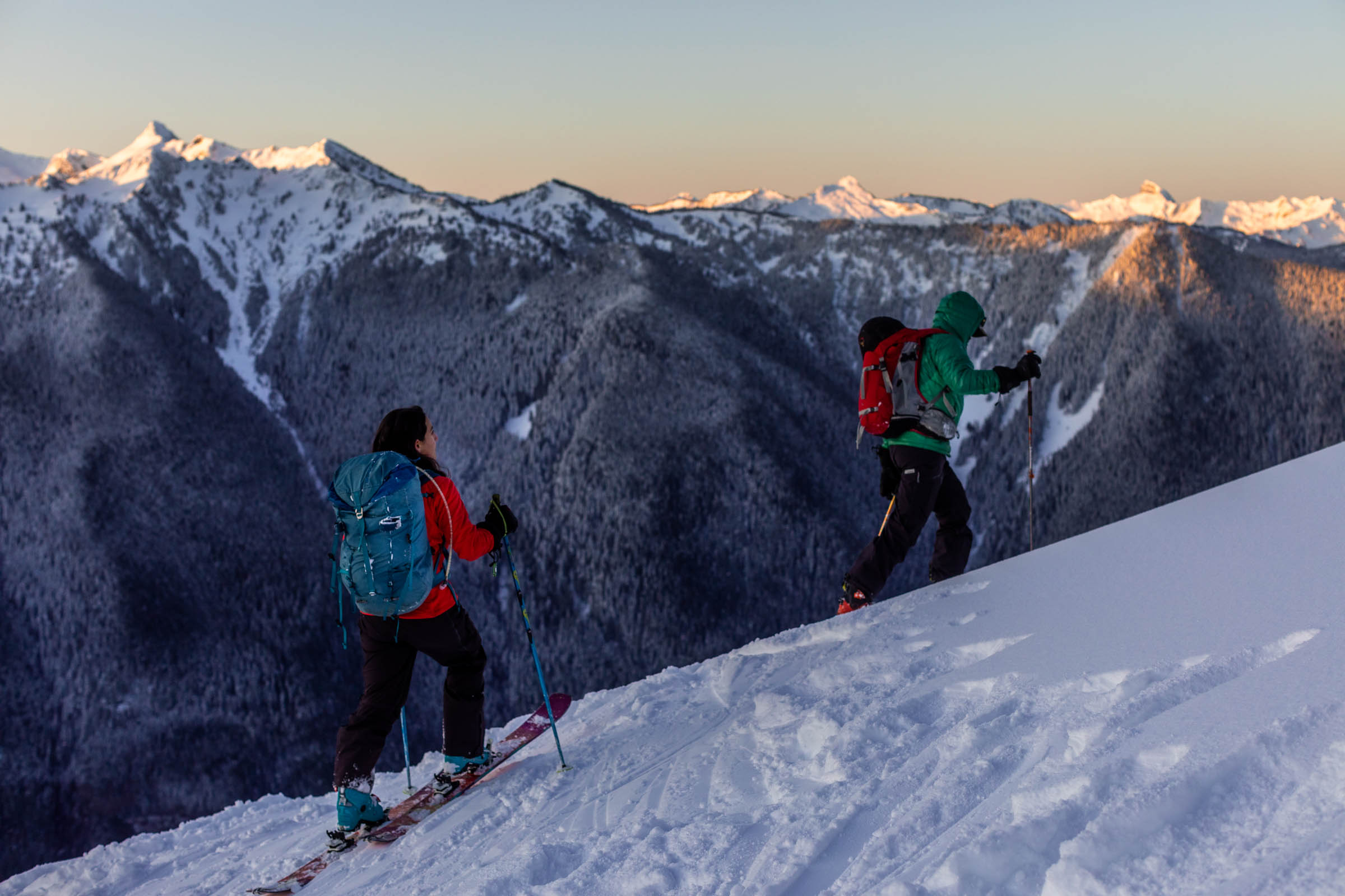
Spring corn laps in the Teanaway with Stuart Range views from Navaho Pass.
About This Trail
Navaho Pass delivers a solid spring ski tour with 3,350 feet of climbing over 11 miles in the Teanaway. The route follows the summer hiking trail for about 2.5 miles before hitting consistent snow around 4,100 feet, then transitions to skinning through open clearings toward the pass at 6,380 feet. The basin below Navaho Peak opens up with moderate-angle slopes ideal for spring corn skiing.
From the pass, the view stretches across to the Stuart Range and the Enchantments, with Dragontail and McClellan prominent on the skyline. The 360-degree panorama from the ridge crest puts this tour's visual payoff well above its modest difficulty. East-facing slopes hold corn snow longer into the day, while west aspects soften early and lose coverage faster as the season progresses.
This is a strong choice for skiers looking to build multi-day touring fitness or introduce friends to spring backcountry skiing. The terrain is forgiving, the approach is straightforward, and the reward-to-effort ratio is excellent. Late May visits may encounter bare patches on the lower trail and weakening snow bridges over the creek, so plan the line of descent carefully as the season wears on.
Forecast
Astronomy
Trail Conditions
Scorecard
Safety & Considerations
Persistent Hazards
- Cornices on Earl Peak ridge above the basin
- Weakening snow bridges over creek crossings in late spring
- Bare patches on lower trail requiring boot transitions
- Rapid snowmelt on west-facing slopes can leave thin coverage over rocks
Getting There
Drive to the Navaho Pass trailhead in the Teanaway. The final 0.3 miles of road may be rough for low-clearance vehicles; high clearance recommended in early season when the road is soft. No parking fee required.
Follow the Navaho Pass Trail for 2.5 miles on dirt before reaching snow around 4,100 feet. Transition to skins and climb through open clearings with views of Navaho Peak. The basin below the pass offers the best ski terrain. Earl Peak basin to the north has steeper options but watch for cornices on the ridge.
Start early enough to catch the corn cycle. Aim to be skinning by sunrise so the snow has time to soften on east-facing slopes by mid-morning. The lower trail section is snow-free in late spring, so factor in hiking time on both ends.
Similar Hikes