Green Mountain
North CascadesBest Mar–May
A long spring grind up the Skykomish valley with big vertical and Cascades crest panoramas for those who earn it.
About This Trail
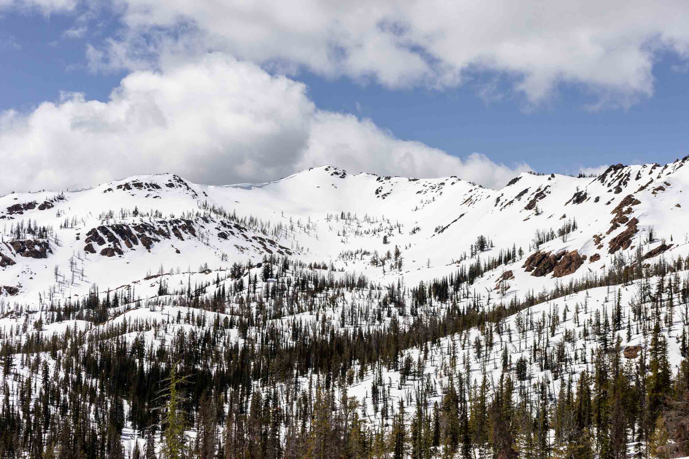
Green Mountain rises to 5,670 feet above the North Fork Skykomish valley, delivering a long spring ski tour through varied terrain. The approach follows Green Mountain Road, which requires high-clearance 4WD and may be blocked by avalanche debris lower than expected. From wherever the road becomes impassable, expect roughly 4 miles of road skinning before transitioning onto the summer trail and then the ridge proper.
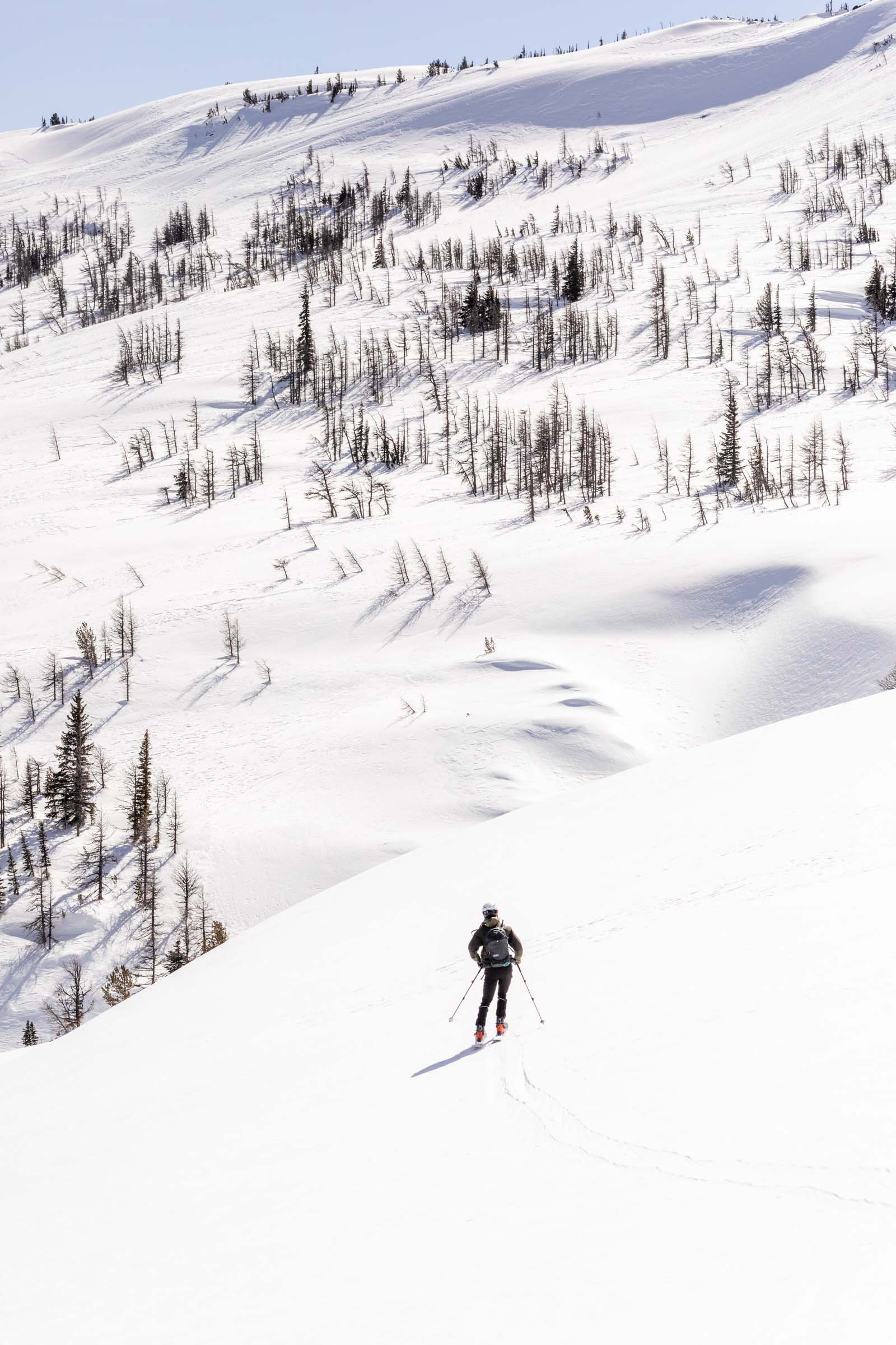
The route gains 3,900 feet over 13 miles round trip, making this one of the bigger single-day efforts in the region. The lower mountain passes through dense forest before opening onto the upper ridge. Staying on the ridge spine rather than traversing steep side slopes keeps the route in safer terrain, using the trees as natural protection from avalanche paths on the wind-loaded west face.
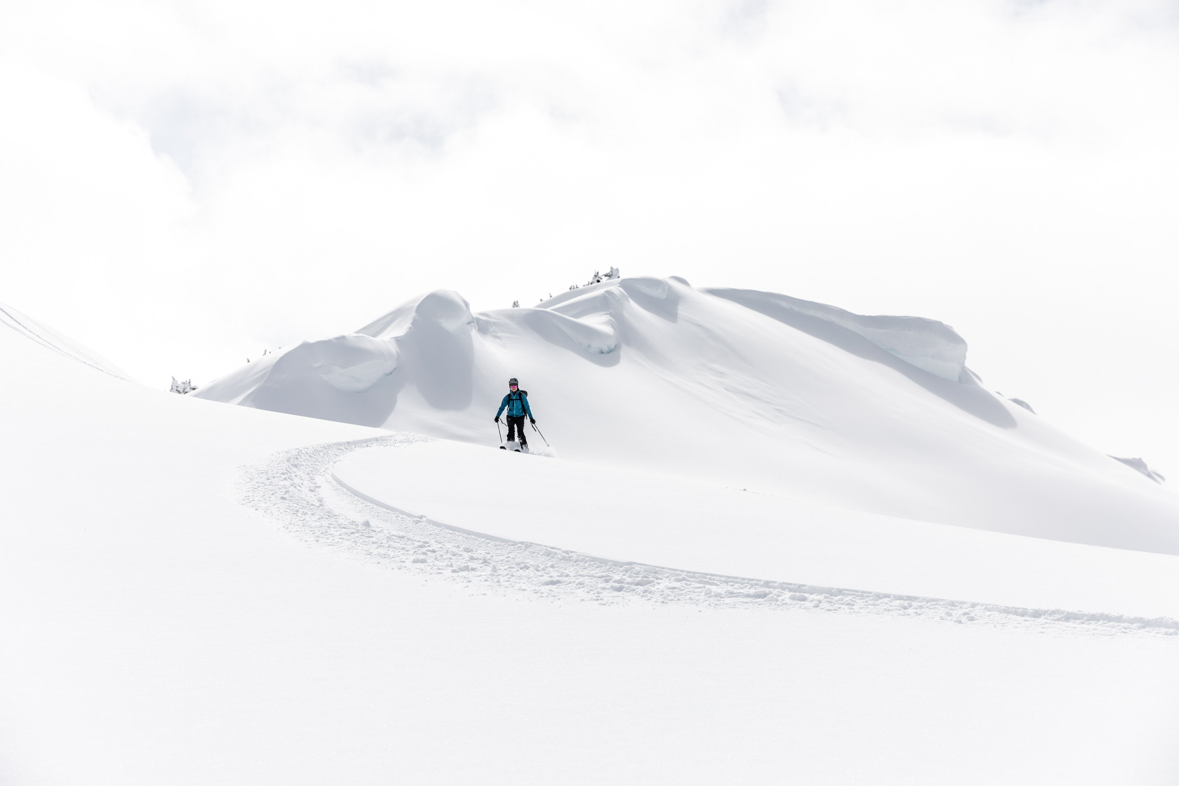
Spring conditions define this tour. Rapid warming turns the snowpack heavy by afternoon, and rollerballs forming on sun-exposed slopes signal increasing instability. Smart parties time their ascent to reach the upper mountain before the sun softens things too much. The summit views reward the long approach, looking out across the Cascades crest toward Glacier Peak and the Monte Cristo range.
Forecast
Astronomy
Trail Conditions
Scorecard
Safety & Considerations
Persistent Hazards
- Wind-loaded west face with avalanche potential
- Rapid spring warming causing wet loose slides
- Avalanche debris blocking road access
- Long approach with limited bailout options above treeline
Getting There
Drive Green Mountain Road as far as conditions allow. 4WD and high clearance recommended. Avalanche debris may block the road as low as 2,300 feet, cutting the driveable distance to roughly 2 miles. No formal parking area; pull off where safe.
Skin up Green Mountain Road for approximately 4 miles from wherever vehicle access ends. Transition to the summer trail, then gain the ridge and follow it toward the summit. Stay on the ridge spine to avoid the wind-loaded west face. The route passes through protected forest before opening up above treeline. Total distance is 13 miles round trip with 3,900 feet of gain.
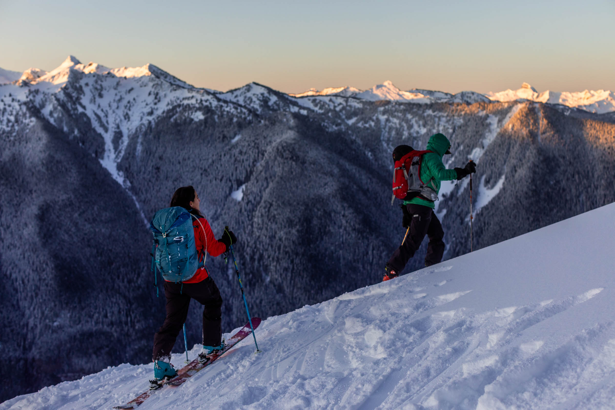
Pre-dawn starts are essential. The tour name says it: beat the sun. Aim to be on the upper mountain during firm morning conditions and descending before afternoon warming destabilizes the snowpack. Alpine starts of 4 to 5 AM are common for spring attempts.
Similar Hikes