Silver Star Mountain
North CascadesBest Apr–Jun
A massive 5,400-foot spring descent from 8,630 feet through alpine bowls and burned forest on the North Cascades Highway.
About This Trail
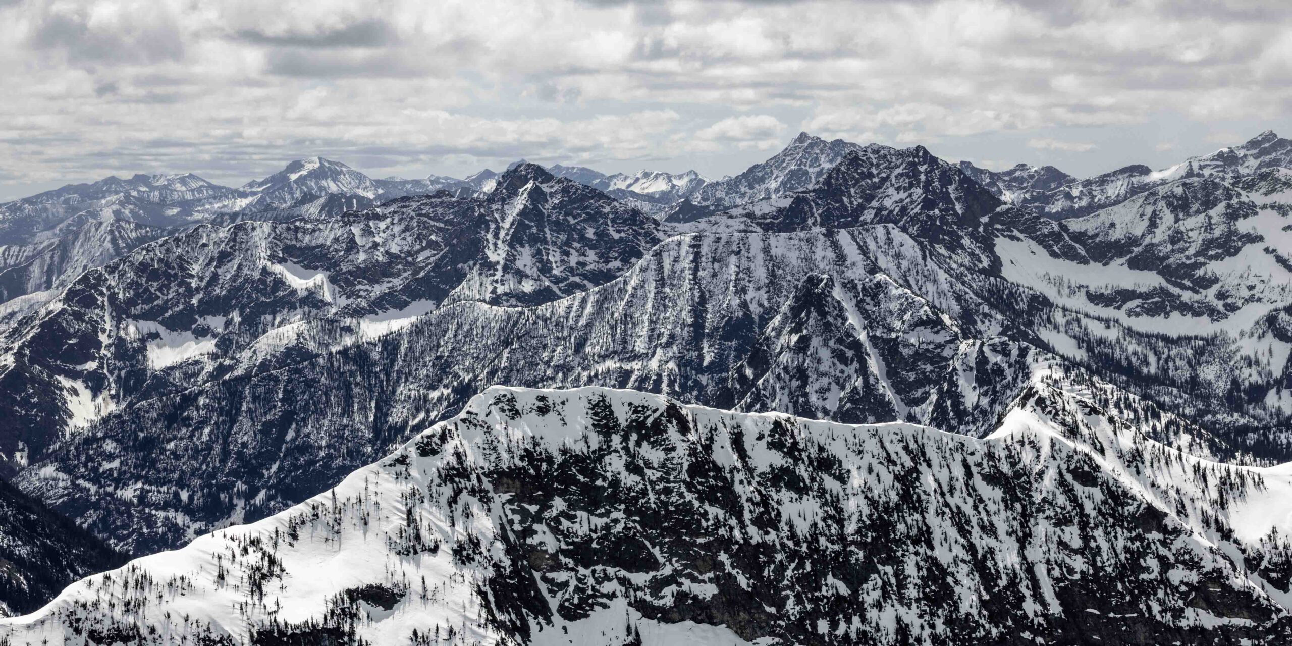
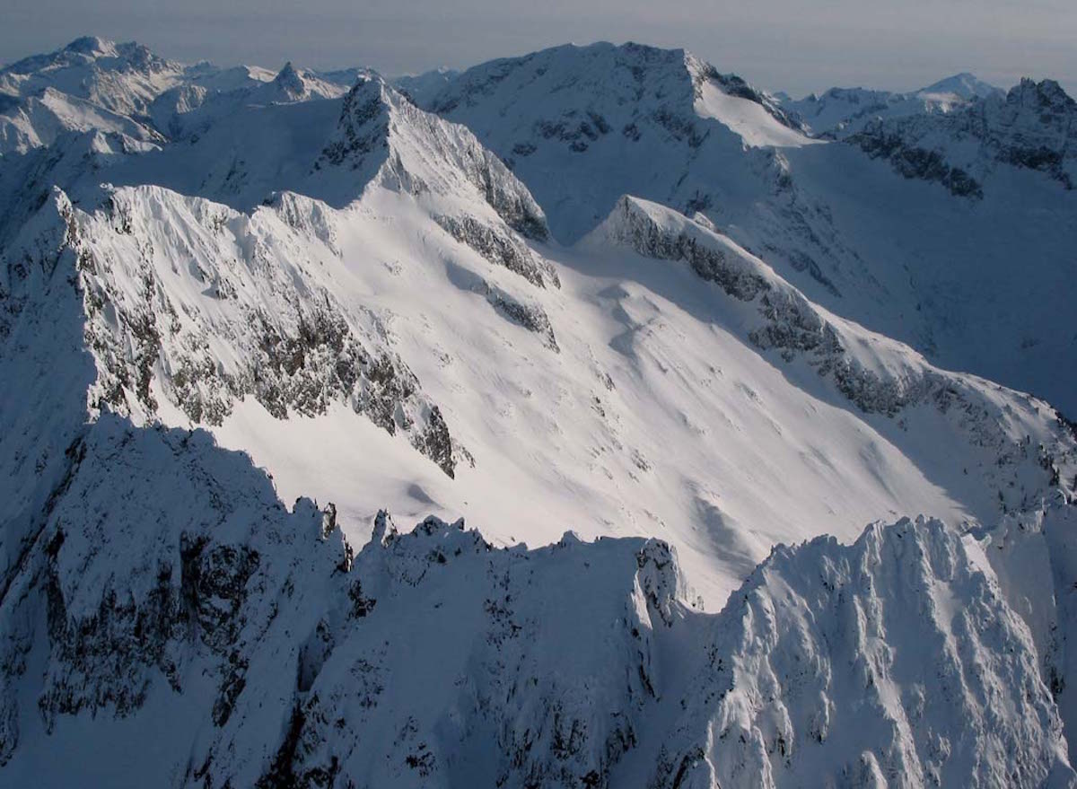
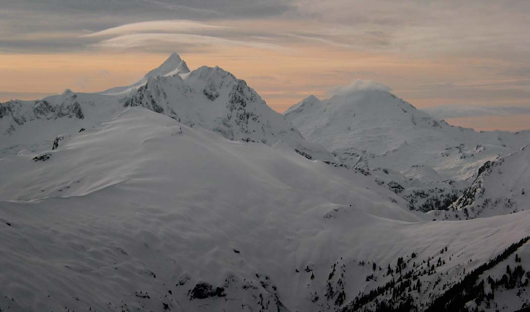
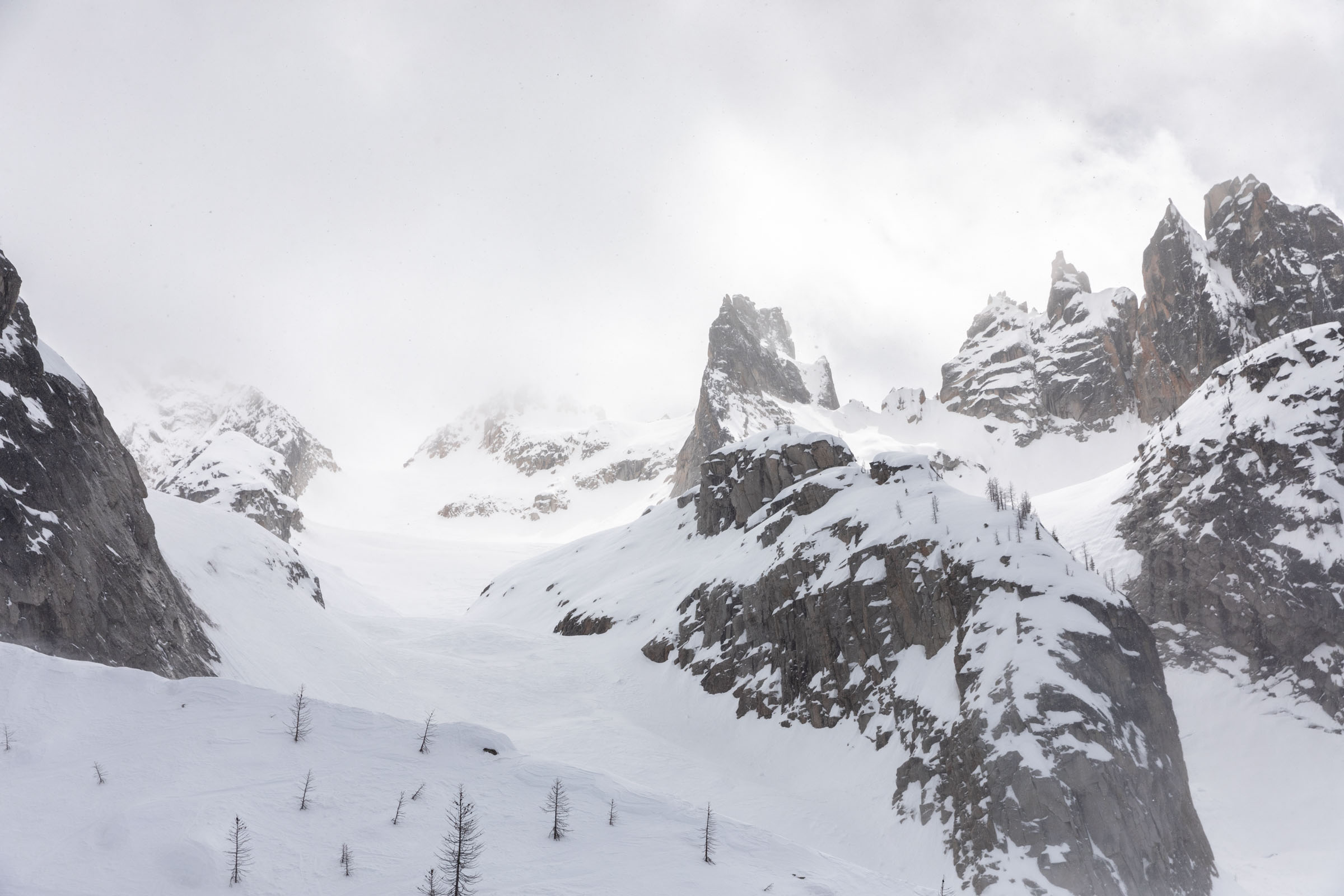
Silver Star Mountain at 8,630 feet is one of the tallest ski objectives accessible from the North Cascades Highway corridor. The Silver Creek winter route approaches from the east side, covering 12 miles and 5,400 feet of gain through burned forest, steep alder zones, and eventually wide-open alpine terrain leading to the summit spires. This is a full-day commitment that rewards strong skiers with massive vertical and varied terrain.
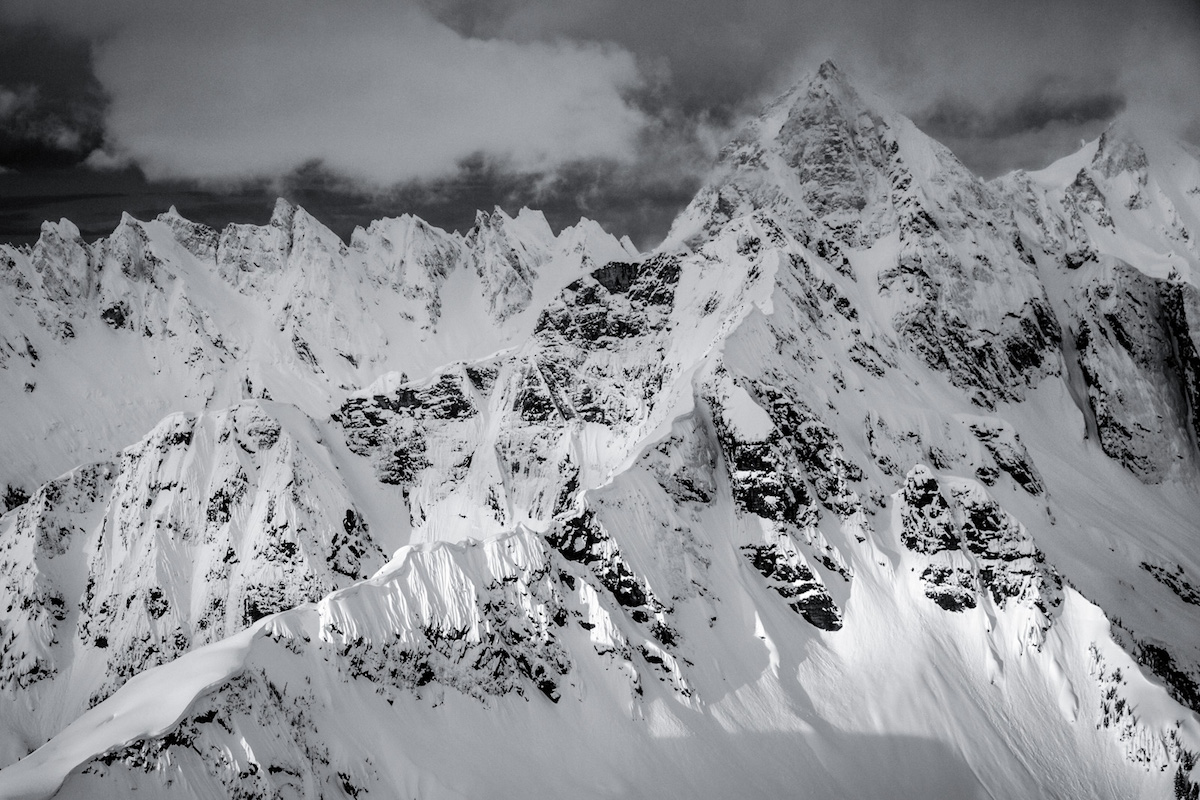
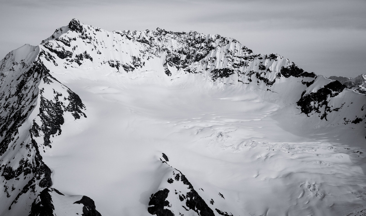
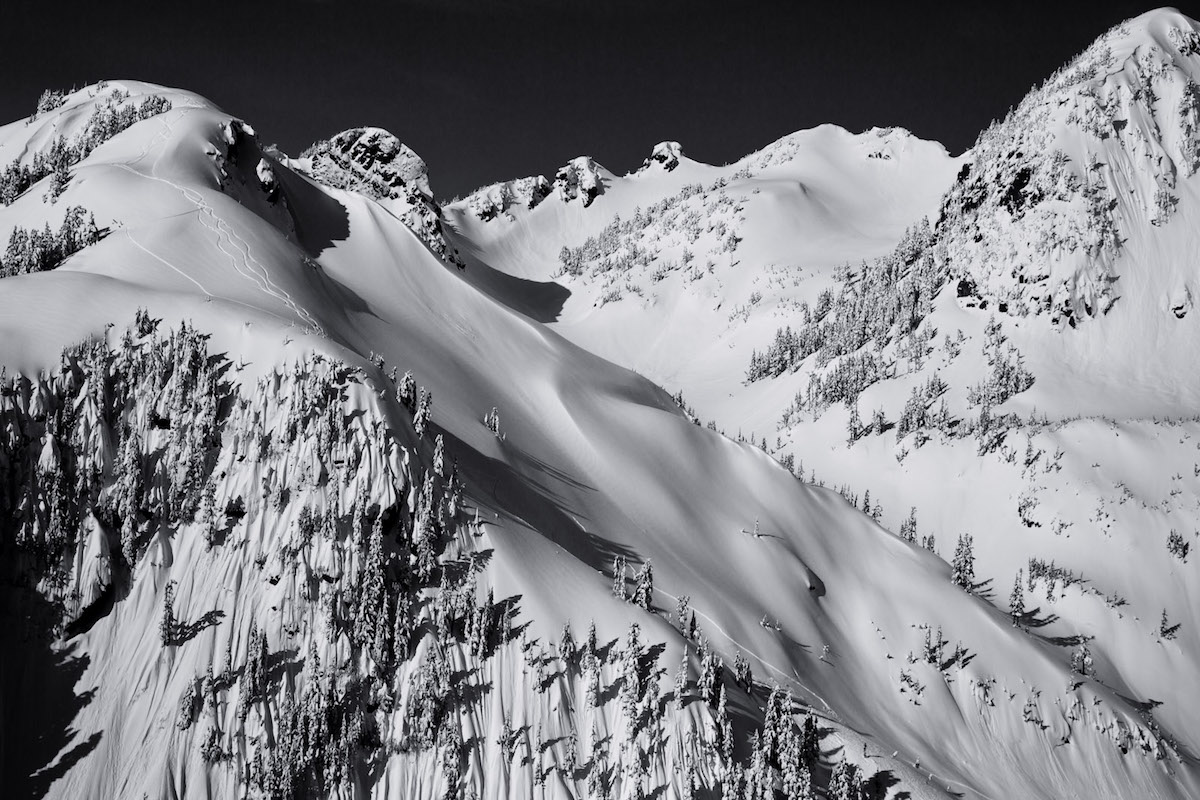
The lower approach travels through fire-scarred forest with minimal trail markings and a mix of snow and bare ground. Between 5,400 and 5,700 feet, steep alder chutes force a decision: go right for a longer but more moderate line, or push straight up through steeper brush. Ski crampons help on the firm morning snow up to about 6,200 feet. Above 7,000 feet the terrain opens into east-facing gullies and broad ridges where wind slab textures demand avalanche awareness.
The descent stacks multiple snow conditions in sequence: wind-affected snow up high, then corn, then grabby transitional snow, then icy patches, and finally softer corn in the lower elevations. Well-spaced trees in the mid-elevation forest make for enjoyable tree skiing. Timing the descent matters: too early and the snow stays locked up, too late and it turns to mush. Plan for a 10-hour day with roughly 7.5 hours of climbing.
Forecast
Astronomy
Trail Conditions
Scorecard
Safety & Considerations
Today's Hazard
- Strong sun — sunscreen, hat, and sunglasses recommended
Persistent Hazards
- Wind slab on upper slopes above 7,000 feet
- Warming rock features causing loose debris on descent
- Steep alder chutes at mid-elevation
- Remote location with long approach and limited cell service
- Variable snow conditions across 5,400 feet of vertical
Getting There
Silver Star Sno-Park provides easy parking near the trailhead. Klipchuck Campground, 10 minutes away, offers overnight camping with toilets and running water for early starts.
Follow the Silver Creek winter route (east side approach, not the summer west side trail). Lower sections travel through burned forest with minimal trail markings. Steep alder sections between 5,400 and 5,700 feet are best navigated by going right (longer but more moderate). Ski crampons useful to about 6,200 feet. Upper slopes above 7,000 feet require avalanche assessment for wind slab. Stay away from warming rock features on the descent.
Start before dawn. The 7.5-hour average ascent time means a 5 AM start puts skiers on the summit by early afternoon. Time the descent to catch corn snow in the mid-elevation zones. Camping at Klipchuck Campground the night before eliminates drive time.
Similar Hikes