Baker Splitboard Festival
North CascadesBest Feb–Apr
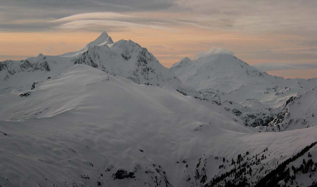
A March backcountry gathering on Baker's north-facing powder fields, traversing from Mazama Col to Highway 542.
About This Trail
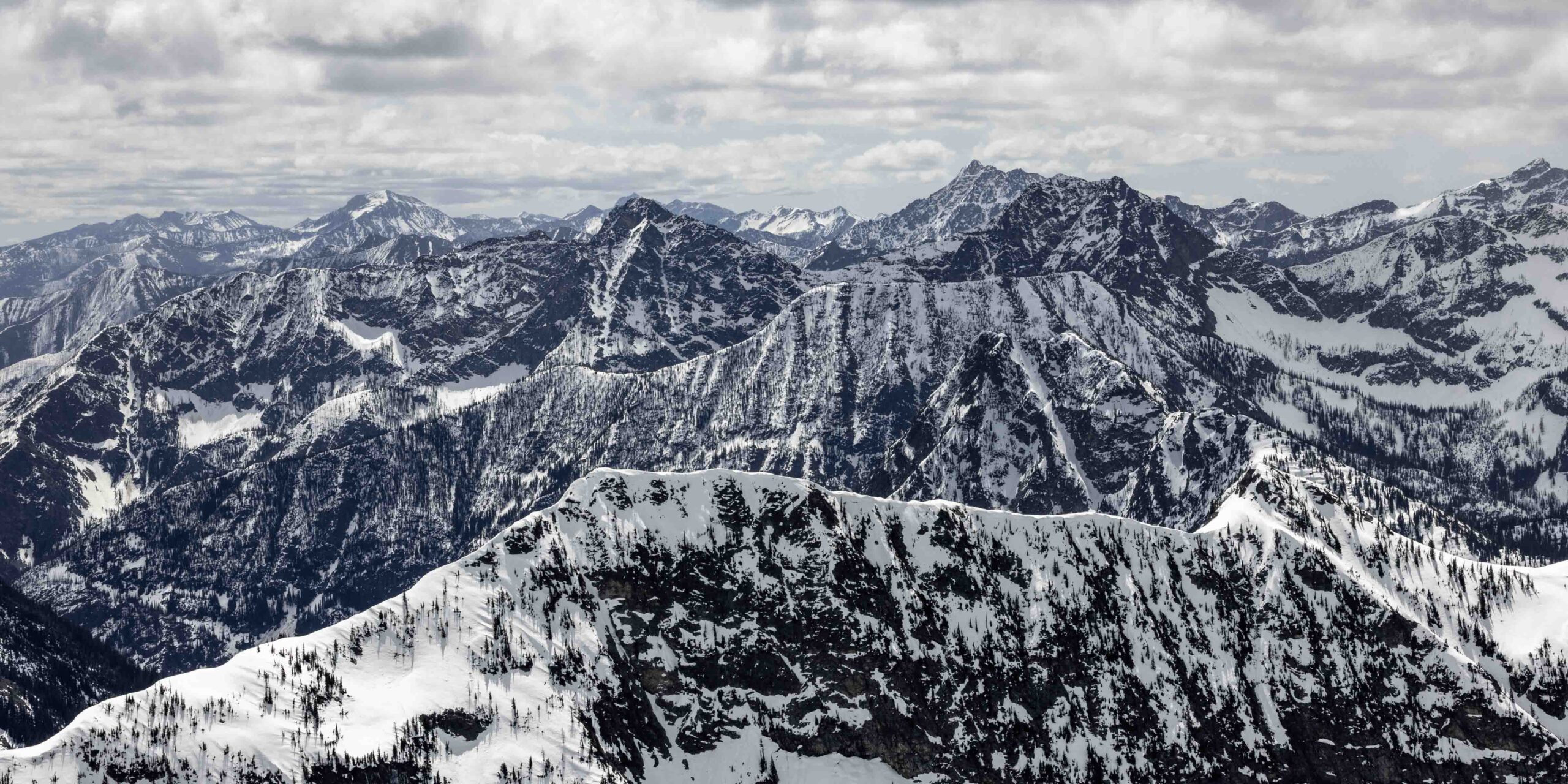
The Baker Splitboard Festival draws splitboarders and ski tourers to the slopes around Mount Baker Ski Area each March for a weekend of backcountry exploration. The terrain accessed ranges from the gentle rolling meadows near Table Mountain and Mazama Dome to steeper north-facing shots off Mount Herman and the ridgelines connecting it to the Highway 542 corridor. Vertical drops from the ridgetops down to the highway sit in the range of several thousand feet, with the exit bringing riders through old-growth forest to the road near Glacier.
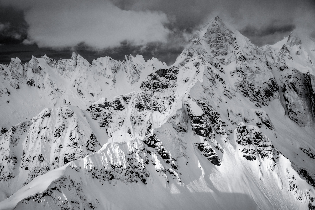
Day tours during the festival follow a traverse format: skin up from the ski area boundary through Mazama Col, tag one or more summits along the Herman Ridge complex, then descend north-facing powder fields back toward the highway. The north aspects hold cold snow remarkably well given Baker's maritime climate. On a good day, expect bottomless turns through open bowls transitioning into tight tree skiing on the lower flanks.
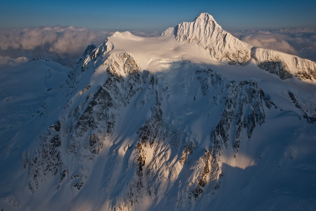
Route-finding through the upper terrain requires experience. Whiteout conditions roll in fast on Baker, and the ridgeline between peaks offers limited shelter. The traverse finishes with a descent through forest to a service road along Highway 542, requiring either a car shuttle or a hitchhike back to the ski area. Local knowledge from Baker regulars makes a significant difference in choosing lines and timing the descent for optimal snow.
Forecast
Astronomy
Trail Conditions
Scorecard
Safety & Considerations
Persistent Hazards
- Avalanche terrain on north-facing slopes below the ridgeline requires careful assessment
- Whiteout conditions develop rapidly on Baker; navigation above treeline demands GPS and compass skills
- Traverse format with highway exit requires car shuttle or hitchhike logistics
- Old-growth forest descent has terrain traps and variable snow quality
Getting There
Mount Baker Ski Area lots off Highway 542. Standard ski area parking applies during operating hours. Arrange a car shuttle or plan to hitchhike back from the Highway 542 exit point near Glacier.
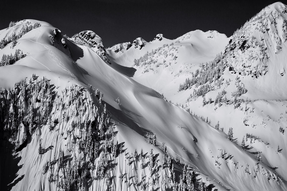
Skin from the ski area boundary through Mazama Col, ascending toward Mount Herman and adjacent ridgelines. The route traverses north-south along the ridge complex before descending north-facing slopes to Highway 542. Multiple line options exist depending on conditions and group ability.
Start early to maximize stable snow on the ascent. The traverse and descent take a full day. Timing the descent for mid-morning sun on north aspects can yield the best snow quality before afternoon warming.
Similar Hikes