Mount Baker via Squak Glacier
North CascadesBest Apr–Jun
A 19-mile car-to-car volcano ski gaining nearly 8,000 feet to Baker's 10,778-foot summit via the gentlest glacier route.
About This Trail
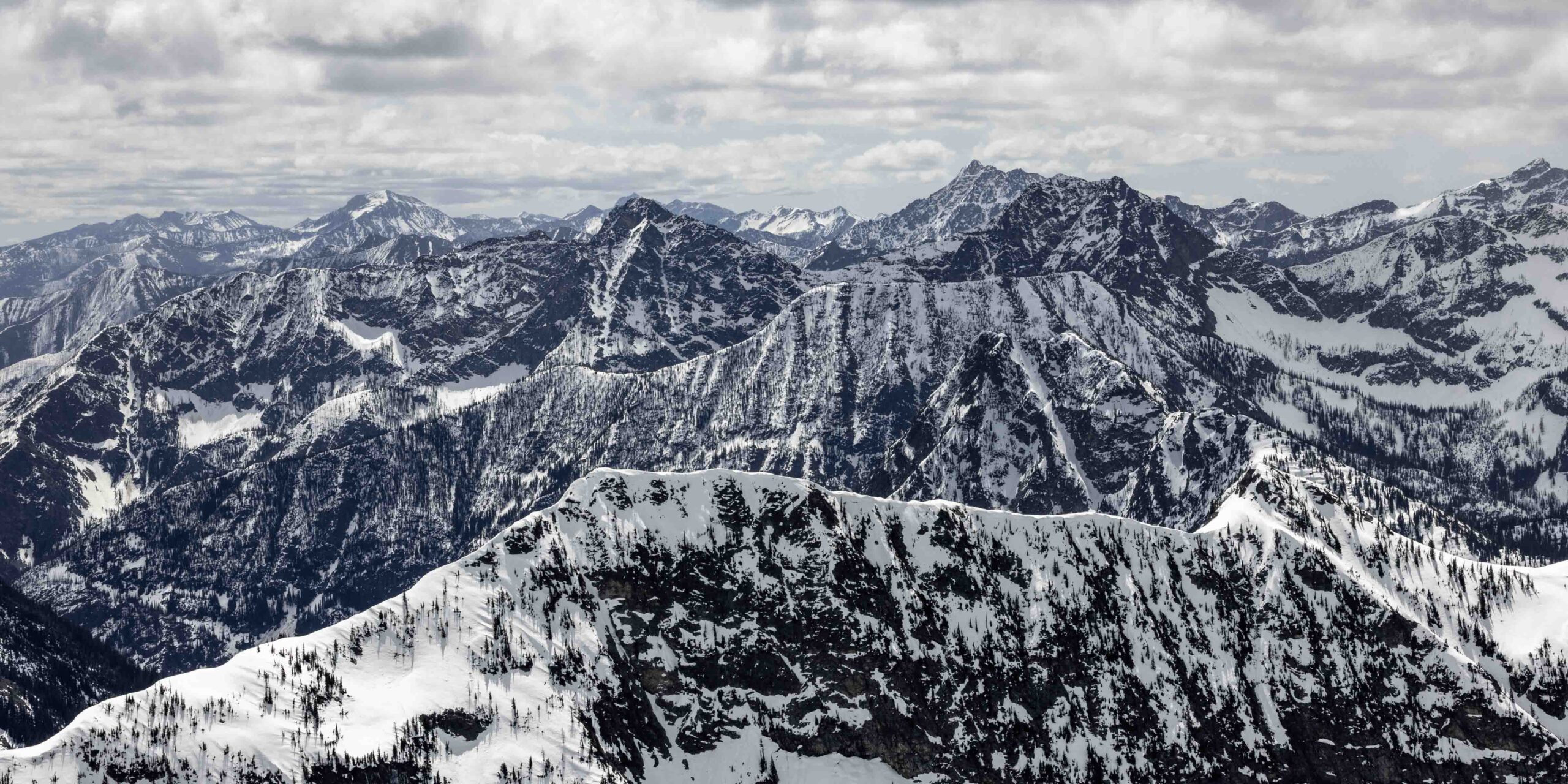
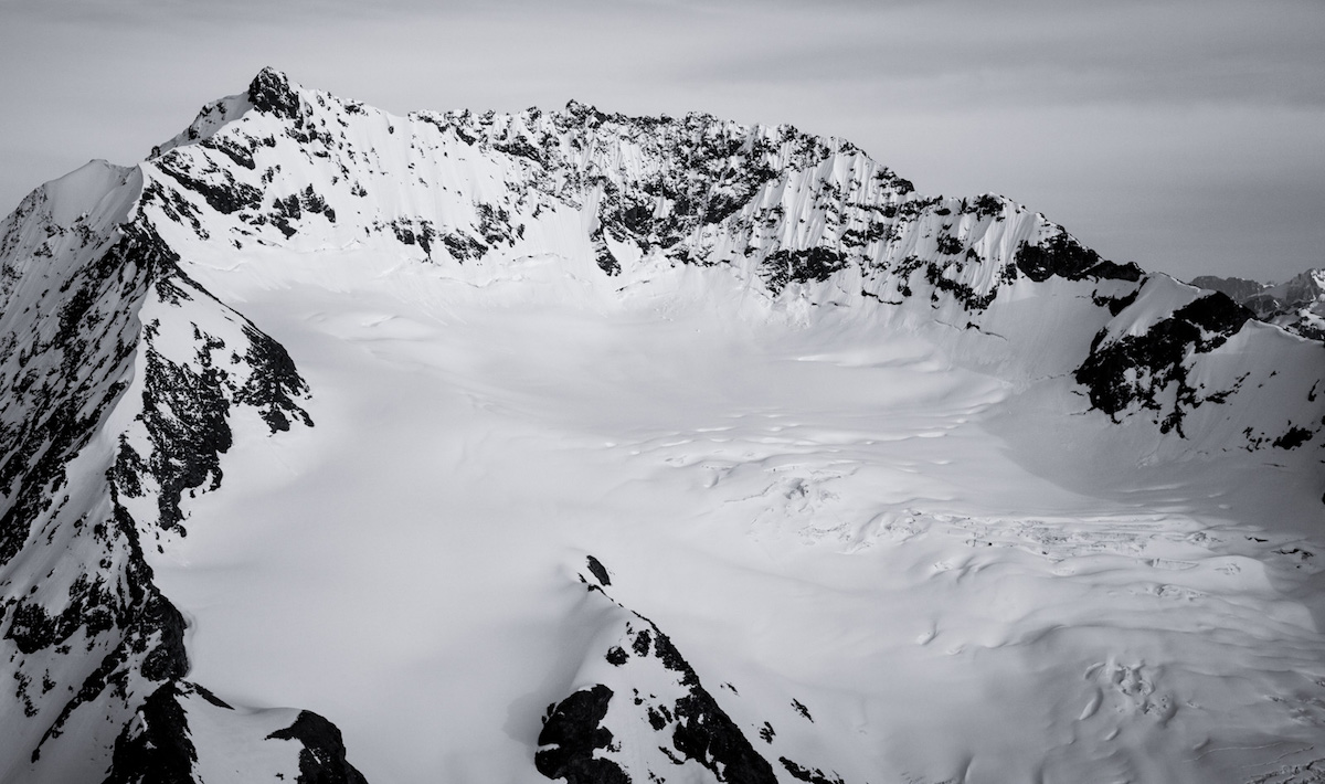
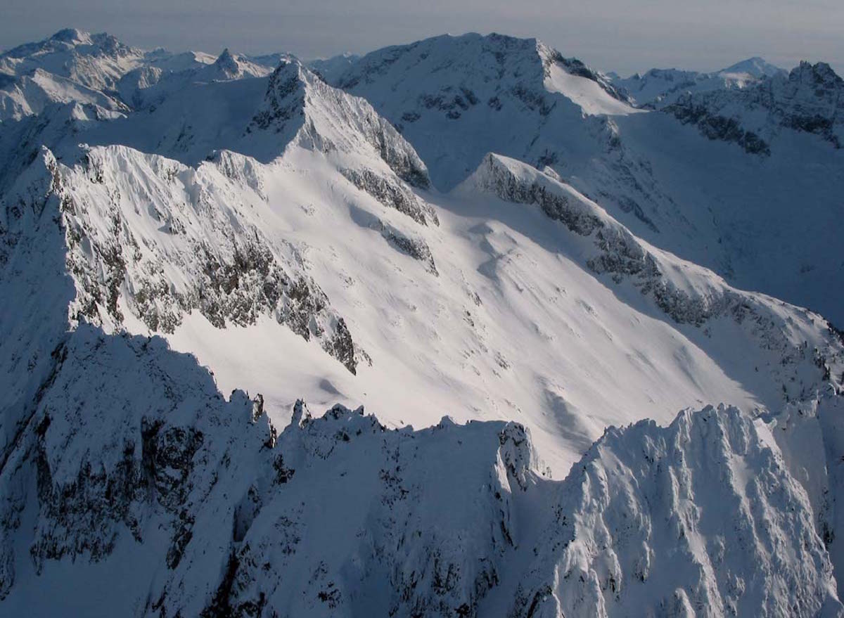
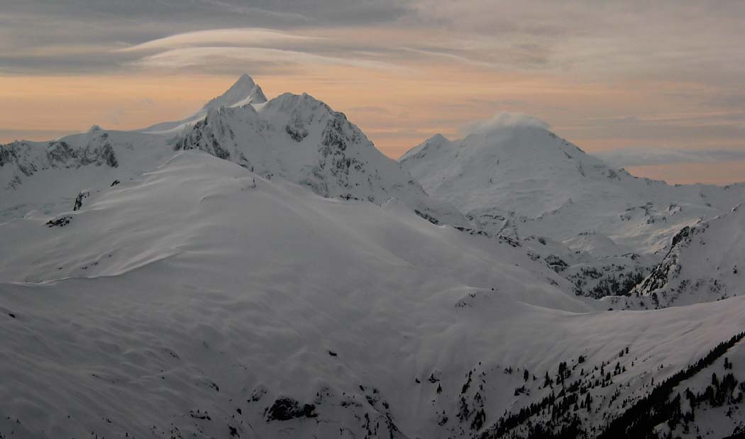
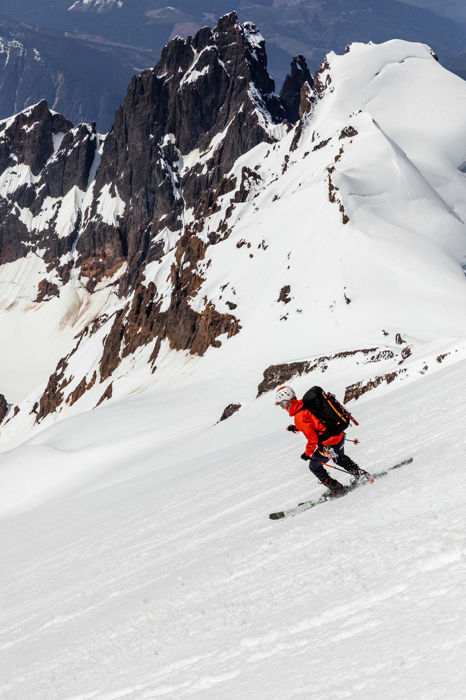
Mount Baker's 10,778-foot summit via the Squak Glacier route covers 19 miles and nearly 7,850 feet of vertical in a long but surprisingly moderate day. The route follows the Scott Paul Trail through forest, climbs through a series of knolls, and merges with the Easton Glacier route near 9,000 feet before topping out via the Roman Wall, the steepest section at roughly 30 degrees. Total round-trip time runs around 13 hours.
The approach starts with a 2.5-mile road walk from the trailhead, skis strapped to packs, before skinning begins in the forest. The sustained climbing rewards patience more than technical skill. Crevasses on this route fill in earlier than other Baker glaciers, making it one of the more straightforward paths to the summit in late spring. Roping decisions vary by party; about half the groups observed on the route climb unroped when conditions allow.
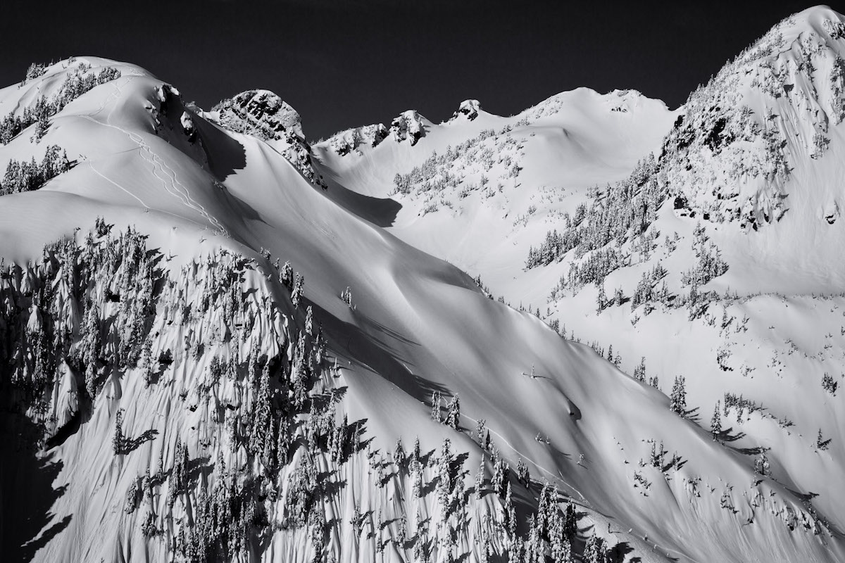
The Squak Glacier descent delivers soft corn snow in the upper elevations, transitioning to firmer conditions and eventually tough concrete-like snow in the forested lower sections. Tree skiing benefits from shade but expect pine needles mixed into the surface. The final exit follows old logging roads back to the car. This route works as a strong first volcano ski for fit parties comfortable with long days and basic glacier awareness.
Forecast
Astronomy
Trail Conditions
Scorecard
Safety & Considerations
Today's Hazard
- Strong sun — sunscreen, hat, and sunglasses recommended
Persistent Hazards
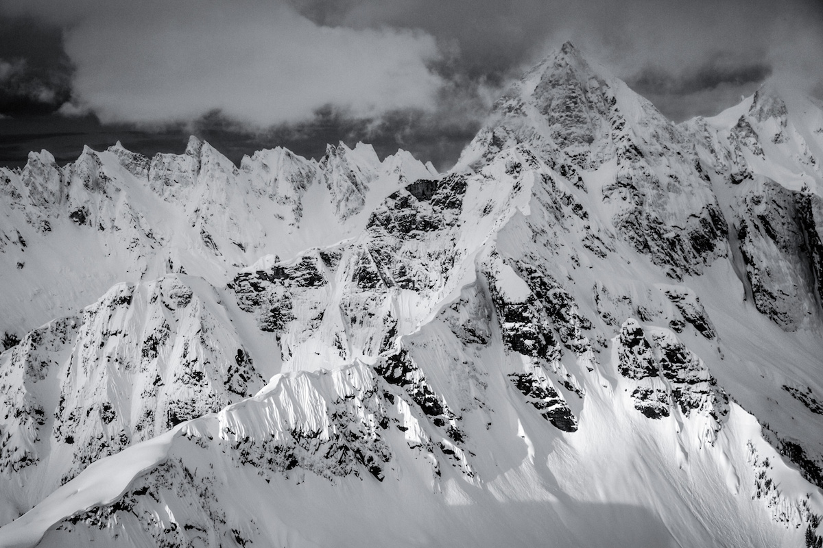
- Crevasses on upper glaciers (assess conditions and rope accordingly)
- Long exposure to sun on 13-hour day (heat exhaustion, sunburn)
- Concrete-like snow conditions in lower forest on warm afternoons
- Energy depletion risk on 19-mile day (carry extra fuel and water)
- Roman Wall cornices in unstable conditions
Getting There
Trailhead parking near Highway 20 access. Free parking. Arrive early on spring weekends as the lot fills. Road walk of 2.5 miles from the trailhead to where skinning begins.
2.5-mile road walk in trail runners with skis on pack, then skin through forest on the Scott Paul Trail. Route climbs through knolls and merges with the Easton Glacier route near 9,000 feet. Summit via the Roman Wall (30 degrees max). Descent follows the Squak Glacier to forest and old logging roads.
Pre-dawn start mandatory. Budget 10 hours for the ascent. On warm spring days, turn around early to catch the best corn snow on descent. Temperatures can reach the upper 80s by afternoon at lower elevations, bringing rapid snow deterioration.
Similar Hikes