
Clackamas Mountain
Eastern Washington
Astronomy
MoonWaxing Gibbous (71%)
Stargazingfair
Trail Conditions
SnowReported on trail
“WTA Pro Crew cleared the Clackamas Mountain trail.”
Last report: May 20, 2026
Safety & Considerations
Today's Hazards
- Strong sun — sunscreen, hat, and sunglasses recommended
- Trees Down
Getting There
Recent Reports
May 20, 2026
WTA Pro Crew cleared the Clackamas Mountain trail. Route finding required near the beginning of the trail in order to gain the ridge.
May 13, 2026
One of WTA’s pro crews spent a week working on a series of trails from the Sweat Creek Basin Picnic area. Our main objective was to clear the Sweat Creek Basin Trail (which is also the PNT) and then try to clear the Clackamas Mountain Trail which creates a loop when combined with Sweat Creek.
Jun 24, 2025
I’ll start with the disclaimer here. There is a ten mile loop trail which begins exactly at the WTA has it described.
Similar Hikes

Dishman Hills Conservation Area - Flying L TrailPonderosa pine savanna and early-season wildflowers on the eastern edge of Spokane Valley.
Forest TrailWildflowersWildlife

Big Tree Botanical AreaA short interpretive walk past 900-year-old western larch trees in the Colville National Forest.
Forest TrailLakeDog Friendly

South Hill BluffA sprawling network of bluff trails above Hangman Creek with spring wildflower displays and city-edge solitude.
WildflowersWildlifeDog Friendly
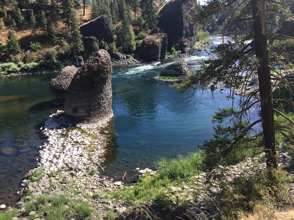
Riverside State Park - Trail 25Twenty-five miles of singletrack winding through Spokane's biggest park along the Spokane River.
Forest TrailRiverScenic Views

Noisy CreekA rugged Selkirk creek trail that rewards persistence with old-growth forest and mountain views above Sullivan Lake.
LakeOld GrowthScenic Views

Mount Spokane State Park - Trail 110The backbone trail of Mount Spokane State Park, climbing through old growth to a high junction where three peaks fan out.
Forest TrailOld GrowthWildflowers