Oyster Dome
Puget Sound and IslandsBest Mar–Nov
A short climb to a dramatic cliff-edge panorama over Samish Bay and the San Juan Islands.
About This Trail
Oyster Dome sits on the western flank of Blanchard Mountain in the Chuckanut Range, a 5-mile round trip from the Samish Overlook trailhead. The route gains 1,050 feet through second-growth forest with rock-reinforced switchbacks and boardwalk sections built by WTA volunteers over the years. The trail passes old logging relics and transitions from dense canopy to exposed rock as it nears the summit.
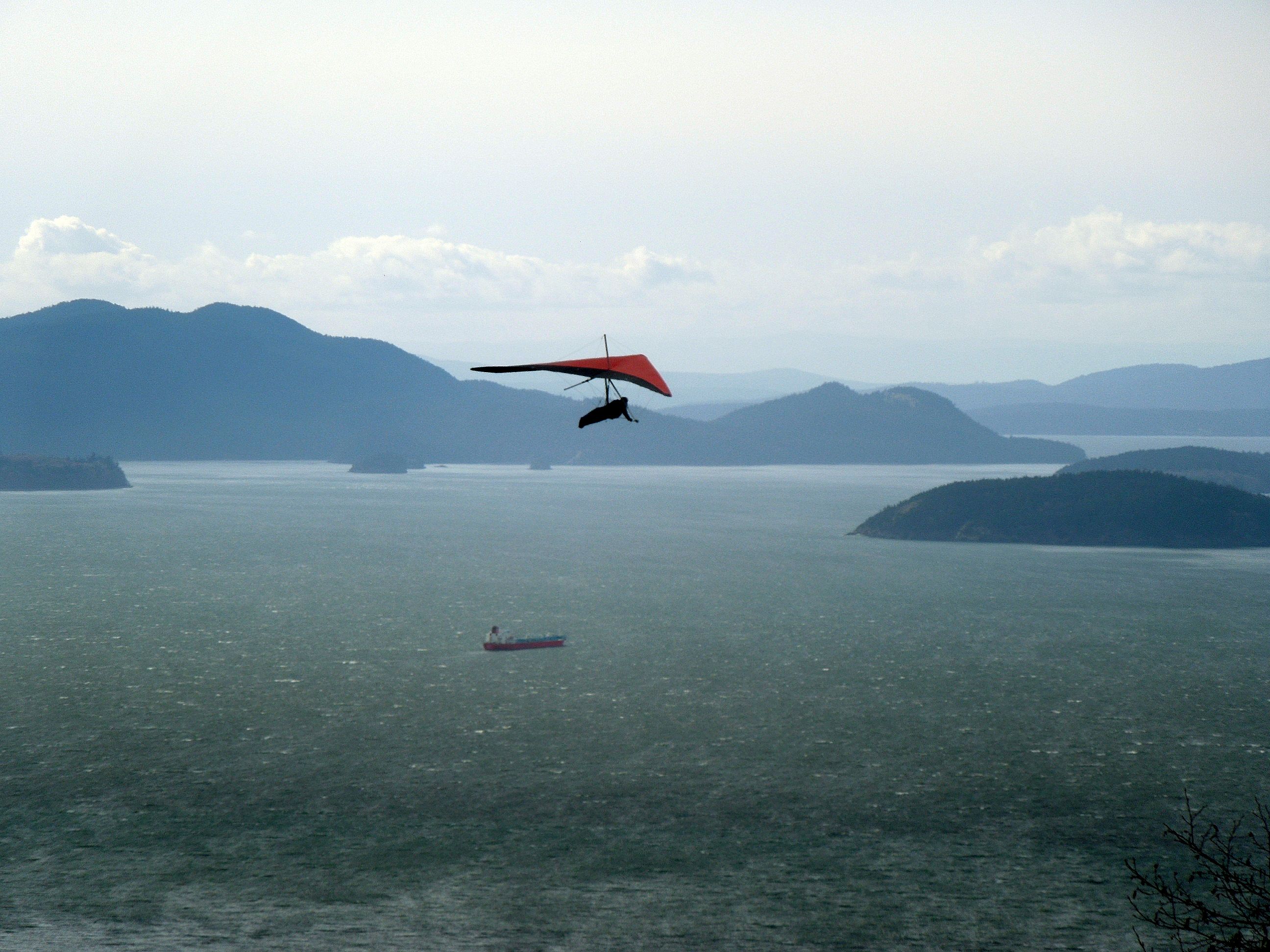
The dome itself is a rock promontory with a sheer western face dropping toward Samish Bay. On clear days, the view spans the San Juan Islands, the Olympic Range, Fidalgo and Guemes Islands, and the full sweep of Samish Bay below. Bald eagles ride thermals along the cliff edge. The combination of accessible elevation gain, year-round availability, and a top-tier coastal panorama makes this one of the most popular hikes in Whatcom County.
An alternative approach starts from Chuckanut Drive (Highway 11), adding switchbacks and distance but providing a quieter experience with fewer hikers. Dogs on leash are welcome on both routes. The summit area has steep dropoffs with no railings, so stay well back from the cliff edge.
Forecast
Astronomy
Trail Conditions
“Arrived at the Samish Overlook at 9:30 and there was plenty of parking.”
Last report: Jul 12, 2026
Scorecard
Safety & Considerations
Today's Hazard
- Strong sun — sunscreen, hat, and sunglasses recommended
Persistent Hazards
- Sheer cliff dropoff at summit with no railings
- Muddy trail sections in wet months
- Intermittent snow on upper trail in winter
- Trail becomes faint near summit area
Getting There
Samish Overlook lot holds about 20 vehicles and fills early on weekends, especially in spring and fall. Open sunrise to sunset. Vault toilets and picnic tables at the trailhead. Discover Pass required. Overflow parking is limited, so arrive early or try the Chuckanut Drive access instead.
From I-5 Exit 240 (Alger), take Lake Samish Road west. Turn left onto Barrel Springs Road at 0.6 miles, then right at the Blanchard Forest Block sign at 1.7 miles. Follow the dirt road to Samish Overlook at 2.2 miles. The Chuckanut Drive alternative starts from Highway 11 roadside pulloffs with a longer, steeper approach.
On weekends, arrive before 9 AM to secure parking at Samish Overlook. Weekday mornings are rarely crowded. The hike takes 2.5 to 4 hours round trip at a moderate pace. Sunset hikes are popular but plan to finish before the parking area closes at sundown.
Recent Reports
Arrived at the Samish Overlook at 9:30 and there was plenty of parking. Bathrooms were a bit messy, please pack out your trash!
We decided to take the PNW Trail off Chuckanut Drive to Oyster Dome which adds a steep climb to Samish parking lot, the official trailhead for Oyster Dome. You can drive to the parking lot to make it shorter hikes to these destinations, The signage is worthy of an urban park; there are lots of signs, highly visible and practically at every junction you'd come across and of which there are many.
Road up is not bad but rough in places. I didn’t notice any potholes but there is some rough washboard near the Samish Overlook.
Similar Hikes


.jpg)


