
Mount Crosby
Central Cascades
Astronomy
MoonWaxing Gibbous (71%)
Stargazingfair
Trail Conditions
“Crosby Mtn is located on the divide between Money Creek and US 2 near Grotto.”
Last report: Oct 20, 2018
Getting There
Recent Reports
Oct 20, 2018
Blog version (disclaimers) Quick-and-dirty version Access: Money Creek Road (NF-6420) Round Trip: 10 miles Elevation Range: 1,240′-5,520′ Gear: helmet, microspikes Approach Cross-country travel up to Bing Peak's west saddle at 4160'. Westbound travel to reach Cement Lake at 4080'.
Aug 28, 2017
Crosby Mtn is located on the divide between Money Creek and US 2 near Grotto. We parked about 2.
Sep 13, 2009
I tried this peak in late Spring, but ended up in the wrong area and cliffing out. Informed by Beckey's meager route descriptions and the descriptions found on WTA we tried again.
Similar Hikes
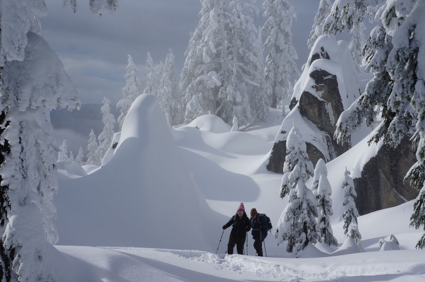
Skyline Lake SnowshoeA steep but short snowshoe climb from Stevens Pass to a frozen alpine lake with sweeping Cascade views.
Lake

Hatchery CreekRugged, relentless climb through fire-scarred terrain to the Cascade high country, connecting to Lake Augusta and the Icicle Ridge system.
Lake

Spada Lake - Culmback DamA short walk to Culmback Dam and Spada Lake with options to extend into the Sultan Basin backcountry.
LakeScenic Views

Sultan River Canyon TrailDescend through mossy old forest to a canyon river, then earn it all back on the climb out.
RiverWaterfallForest Trail

Canyon LakeRemote alpine lake beneath Bannock Mountain's cliffs, reached through meadows and unmaintained trail in the Glacier Peak Wilderness.
LakeScenic ViewsWildflowers

Company CreekA steep, seldom-maintained route climbing from the Stehekin Valley floor into the remote heart of the Glacier Peak Wilderness.
SummitRiverScenic Views