Keystone Ridge
Central Cascades
Astronomy
Trail Conditions
“A group of 4 Mountaineers did a point-to-point, car-drop from HWY 97A up to Keystone Point and then down the Mills Canyon Road.”
Last report: May 2, 2026
Getting There
Recent Reports
Since learning about this hike through trip reports a couple years ago, I’ve done the road walk up to the top twice, but today I finally convinced a friend to do a car shuttle with me so we could to the thru hike up from 97. The climb up was steeper and more challenging than expected, but I think we’re still friends.
Our group of 5 Mountaineers saw many thick fields and many species of flowers (list to come) on our route from HWY 97 up to Keystone Point and down Mills Canyon (Caltopo link attached). Note, we did a car shuttle.
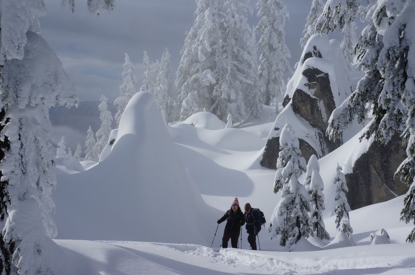
My yearly challenge to climb Keystone Point during the winter has been maintained this year again, and I figured I'd share some of the chaos of winter summits. Started(driving) at Bill Short's Sugar Shack about 1 mile up Mills Canyon, where the last half-mile of Mills was snowy, then walked up the left road to Peters Point where I took my first break.
Similar Hikes