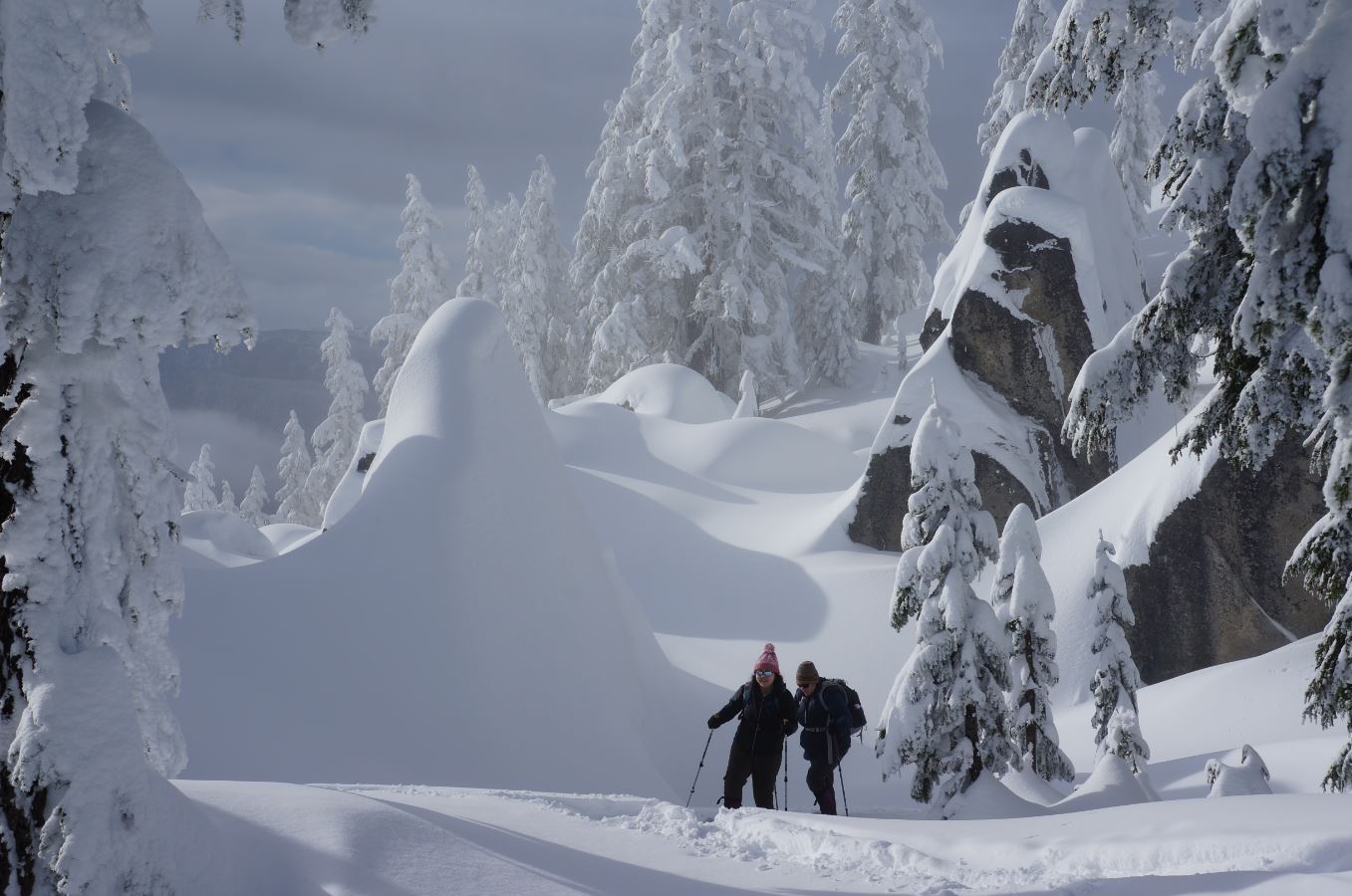
Icicle Divide: Stevens Pass to Fourth of July
Central CascadesBest Jul–Sep
A 45-mile high route from Stevens Pass to Leavenworth through wildflower passes, alpine lakes, and vanishing trail.
About This Trail
The Icicle Divide route covers 45 miles from Stevens Pass south and east to the Fourth of July Creek trailhead near Leavenworth, traversing some of the most varied terrain in the Central Cascades. The route follows the PCT south from Stevens Pass, passes Lake Susan Jane, then joins Icicle Creek Trail before climbing through Chain Lakes, Doelle Lakes, Frosty Pass, and a succession of high alpine lakes before descending Fourth of July Creek.
The trail gains over 13,500 feet cumulatively, with continuous climbing and descending between passes. Wildflower displays in July are exceptional, with fields of lupine, paintbrush, penstemon, columbia lilies, and monkeyflower. Views extend west to the Enchantments and across the Icicle Creek basin. Doelle Lakes at mile 12 provides the best camping for a first night.
Route-finding is a serious challenge. Multiple trip reports warn that the trail vanishes entirely in the Cabin Creek valley, roughly two-thirds of the way through. The tread is faint to nonexistent in several sections, and snow navigation may be needed before August. This is a route for experienced backcountry travelers who can handle unmarked terrain and are comfortable with maps and compass. A car shuttle or key exchange between Stevens Pass and the Fourth of July trailhead is required.
Seasonal Highlights
Forecast
Astronomy
Trail Conditions
“We picked the trail up from the Icicle Creek trailhead and made our way up to a frosty pass.”
Last report: Jul 4, 2025
Scorecard
Extremely few people attempt the full route. PCT section near Stevens Pass sees some traffic but the Icicle Divide sections are deserted.
Safety & Considerations
Today's Hazard
- Strong sun — sunscreen, hat, and sunglasses recommended; water reflection adds glare near the lake
Persistent Hazards
- Trail disappears entirely in Cabin Creek valley
- Route-finding required on multiple sections
- Snow travel likely before August on high passes
- No bailout options for long stretches
Getting There
Car shuttle required between Stevens Pass and Fourth of July Creek trailhead near Leavenworth. Plan 3-5 days for the full route.
Recent Reports
We picked the trail up from the Icicle Creek trailhead and made our way up to a frosty pass. We did a car drop between the Icicle Creek and Fourth of July trailhead.
Completed a long-term project by going front door to car door, Leavenworth to Stevens Pass, via the Icicle Ridge trail and connections through Icicle Creek, Josephine Lake and the PCT. In all it came to 46 miles with 16k' ascent and 13k' descent.
WARNING: We echo a previous trail report (https://www. wta.
Similar Hikes