Howard Creek
Central CascadesBest Jun–Oct
A Blewett Pass network trail through burn recovery zones and meadows, best as part of a larger loop to Mount Lillian.
About This Trail
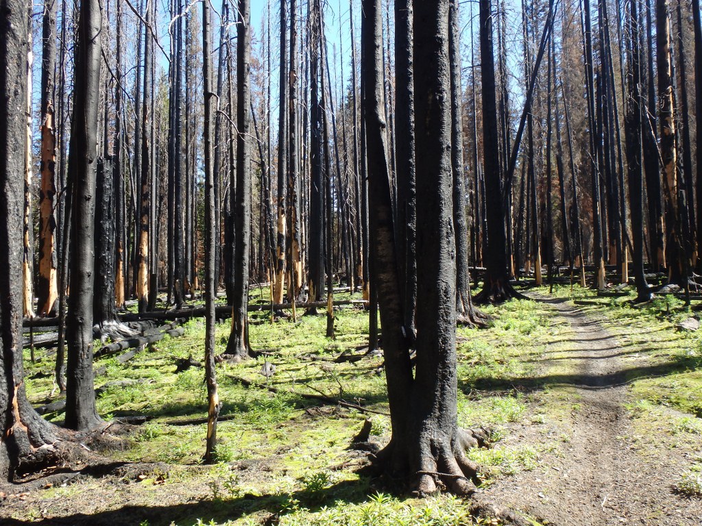
Howard Creek descends from a trailhead off Forest Road 9712 near Blewett Pass, following Howard Creek's headwaters before connecting to the Naneum Creek Trail. The 10-mile roundtrip route gains 1,783 feet and passes through old clearcuts, recovering burn areas, and forest. A popular shorter option hikes 1.4 miles to Trail 1373, then 1.8 miles to Haney Meadow, from which hikers can connect to the Mount Lillian Trail for a 1.5-mile ridgeline traverse through stark burned trees with expansive views of the Blewett Pass area.
The Wenatchee Mountains trail network here is extensive but confusing, with many intersecting roads and trails. A GPS device or detailed map is essential for navigation. The burn areas create an unusual landscape of blackened trunks and regenerating meadows, with larch groves turning gold in October. Wildflowers fill the meadows in summer. Access via Forest Road requires checking conditions, and the ashy, slippery terrain in burn zones calls for gaiters and trekking poles. This is not a heavily traveled area, and most visitors come for the broader loop possibilities connecting Tronsen Meadow, Mount Lillian, and Haney Meadow.
Seasonal Highlights
Astronomy
Trail Conditions
“I started at the North Tronsen Ridge Trailhead atop 5 mile road.”
Last report: Jun 25, 2024
Scorecard
Very few visitors. Most trip reports describe complete solitude.
Safety & Considerations
Today's Hazard
- Strong sun — sunscreen, hat, and sunglasses recommended
Persistent Hazards
- Complex trail network requires GPS or detailed map
- Ashy, slippery terrain in burn areas
- Road conditions can be rough
Getting There
High-clearance vehicle recommended
Trailhead off Forest Road 9712 (FR 7240), approximately 0.8 miles north of Blewett Pass. Northwest Forest Pass required. Road conditions vary.
Recent Reports
I ventured to the Wenatchee Mountains for a big ol' loop utilizing a bunch of trails. I started at the North Tronsen Ridge Trailhead atop 5 mile road.
I drove up FR 7240, . 8 miles north of Blewett Pass, to start this hike.
I’m really glad Argonaut/Sherpa didn’t pan out because today turned out extremely well heading over to Bentrim Hill and Mount Lillian (South). Mount Lillian (South) is a bushwhack from the road, so I’m omitting the details from this trip report, but I’ll post them to Peakbagger, if curious.
Similar Hikes


