
Garland Peak
Central Cascades
Astronomy
MoonWaxing Gibbous (71%)
Stargazingfair
Trail Conditions
“The air was misty with a gentle drizzle as I rolled into the Entiat River Trailhead around noon on Friday.”
Last report: May 23, 2026
Safety & Considerations
Today's Hazard
- Strong sun — sunscreen, hat, and sunglasses recommended
Getting There
Recent Reports
May 23, 2026
I gave it a shot and today was not the day for Basalt Peak. Plan A was to hike Basalt Peak via Basalt Ridge.
Oct 4, 2024
The air was misty with a gentle drizzle as I rolled into the Entiat River Trailhead around noon on Friday. Only two other cars dotted the lot, giving the place a peaceful, secluded vibe.
Sep 30, 2024
Summary: With my trusty Golden Retriever, I squeezed a fun, challenging shoulder-season 4 night lollipop-ish route thru the Entiat. We hiked past Myrtle Lake and Cow Creek Meadow, camped amidst Larch Lakes, crossed Pomas Pass into the Ice Creek drainage and then went up to Lower Ice Lake.
Similar Hikes
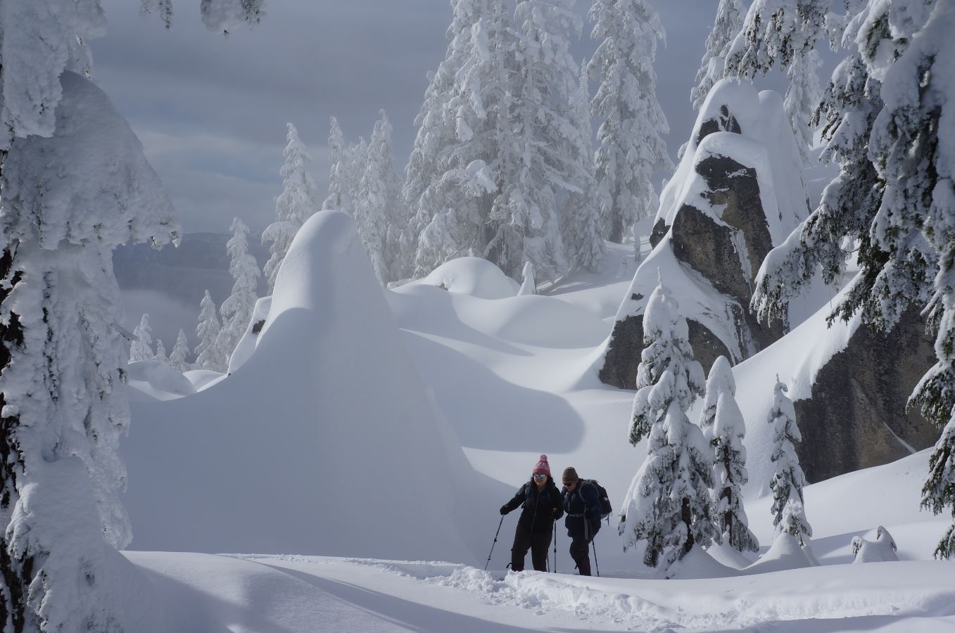
Skyline Lake SnowshoeA steep but short snowshoe climb from Stevens Pass to a frozen alpine lake with sweeping Cascade views.
Lake

Hatchery CreekRugged, relentless climb through fire-scarred terrain to the Cascade high country, connecting to Lake Augusta and the Icicle Ridge system.
Lake

Spada Lake - Culmback DamA short walk to Culmback Dam and Spada Lake with options to extend into the Sultan Basin backcountry.
LakeScenic Views

Sultan River Canyon TrailDescend through mossy old forest to a canyon river, then earn it all back on the climb out.
RiverWaterfallForest Trail

Canyon LakeRemote alpine lake beneath Bannock Mountain's cliffs, reached through meadows and unmaintained trail in the Glacier Peak Wilderness.
LakeScenic ViewsWildflowers

Company CreekA steep, seldom-maintained route climbing from the Stehekin Valley floor into the remote heart of the Glacier Peak Wilderness.
SummitRiverScenic Views